Soda Springs,
then and now
Postcards, papers and photographs of Soda Springs from public archives, woven together by decade. Neighbors fill in the gaps.
The story
from WikipediaRead it all ↗The city is named for the hundreds of natural springs of carbonated water that are located in and around the city. The springs were known to Native Americans, and were a landmark along the Oregon Trail in the middle 19th century. The city is also the location of the Soda Springs Geyser, which was unleashed in 1937 when town fathers were seeking hot water for a hot pool bathing attraction. They drilled into a chamber of highly pressurized carbon dioxide gas and cold water, and the geyser erupted. After running for weeks and flooding the downtown area it was capped and then manually released, at first upon request, as a tourist attraction. More recently a timed release valve opens every hour on the hour. The geyser's height and volume have not decreased in the decades since. Viewing platforms are located at either end of the travertine mound where the geyser erupts. Interpretive signs are…
Text from Wikipedia, licensed CC BY-SA 4.0.
Timeline
built from the dates on the items belowFinish Soda Springs’s story
Most archives stop around 1920. The photos from after that are in family albums, not libraries.
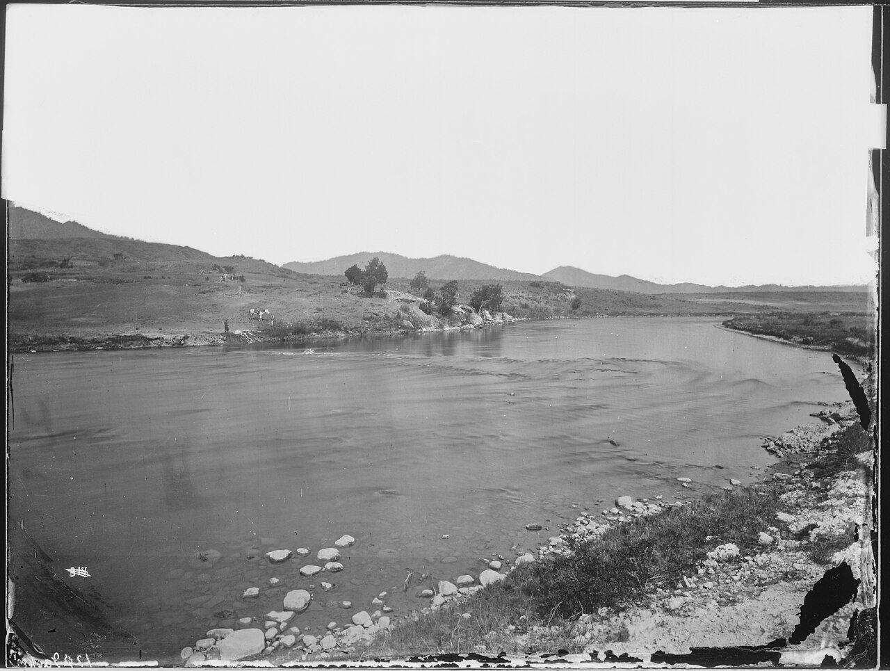
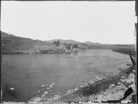
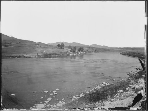
0 of 10 decades since 1900 have photos 🔁Retake an old viewSoda springs, on Bear River. Cari…, 1871: stand where they stood+15 📦Share a family photoSign in to add one+10Soda Springs, decade by decade
Then & now
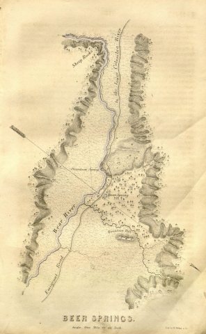
No then-and-now pairs yet. Take a photo from the same spot as Report of the exploring expedition to the Rocky Mountains in the year 1842, and to Oregon and North California in the y… (1842) and it appears here side by side.
🔁 Retake this view · +15Historic places
National Register · via Wikidata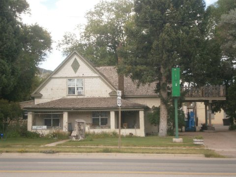
From Wikimedia Commons (4), the Library of Congress (1) and the National Register (1). Images are copied here with their credits and licenses, shown on each photo’s page. Refreshed monthly.