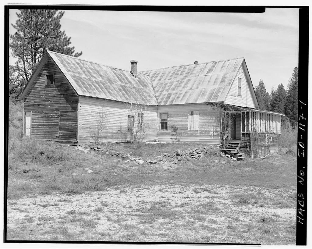
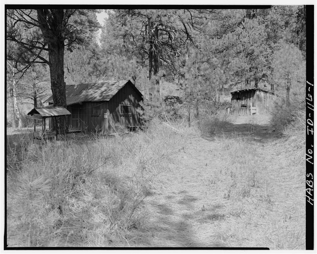
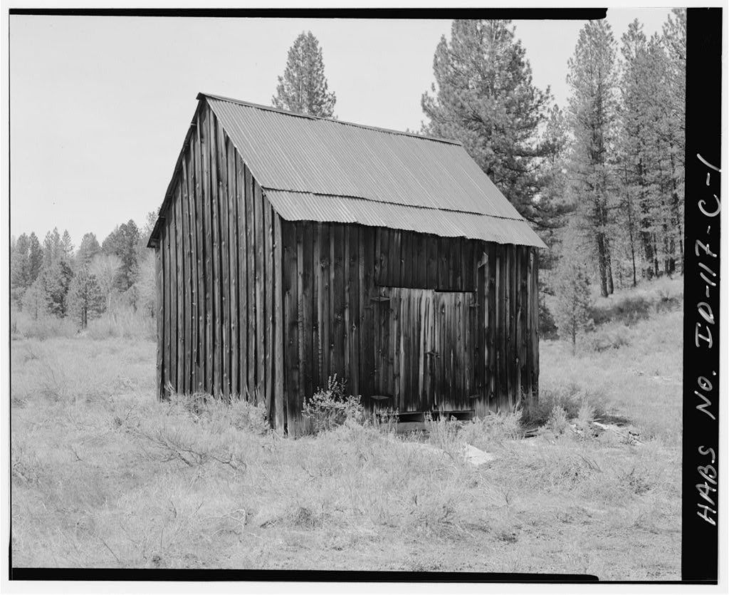
Placerville’s history is
mostly unwritten
The public archives hold only 3 old photos of Placerville. The rest are in attics, shoeboxes and the historical society. Help start the collection.
The story
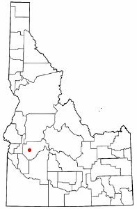
from WikipediaRead it all ↗Placerville received its name because of placer mining in the vicinity. The ghost town is located 17 miles east of Horseshoe Bend. The townsite was selected December 1, 1862; and by December 16 there were six cabins in the camp. By the early summer of 1863, the town had 300 buildings and a population of 5,000. At the meeting of the first legislature held in Lewiston in 1863, the citizens obtained a charter for their city. Father Mesplie, a Catholic priest, held the first church service January 4, 1864, and in that same year a stage line was established between the Basin and Wallua to carry Wells Fargo express. It ran every other day from Placerville and went through in four days. By July 1864, 4500 claims had been recorded in the district.
Text from Wikipedia, licensed CC BY-SA 4.0.
Start Placerville’s collection
The first neighbors to add old photos shape how Placerville’s history is told.
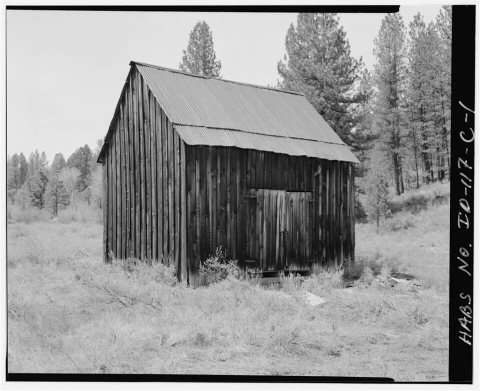
0 of 10 decades since 1900 have photos 🗓️Date a photo3 archive items have no date+2 🔁Retake an old viewHiatt Property, West bank of Woof…: stand where they stood+15 📦Share a family photoSign in to add one+10Placerville, decade by decade
2000
unknown3 items
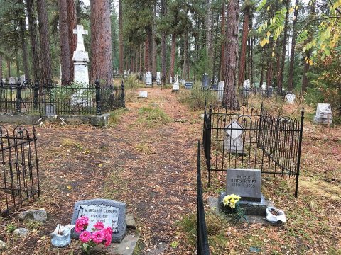
1 historic place in Placerville
Placerville has 1 listing on the National Register, and they protect 32 historic buildings, because Placerville Historic District alone counts 32.
Where they are
When they were listed
Then & now
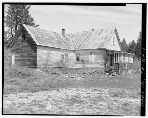
No then-and-now pairs yet. Take a photo from the same spot as Hiatt Property, West bank of Woof Creek, 400 feet northwest of intersection of U.S.F.S. Roads 651 & 349 and it appears here side by side.
🔁 Retake this view · +15Stories next door
nearby towns’ historyFrom Wikimedia Commons (2), the Library of Congress (3) and the National Register (1). Images are copied here with their credits and licenses, shown on each photo’s page. Refreshed monthly.