The story
from WikipediaRead it all ↗The 1821 Georgia Land Lottery opened portions of state land for settlement between the Flint and Ocmulgee rivers, including present-day DeKalb County. The Muscogee (Creek) Nation ceded the land to the United States in January of that year, and drawings for lots measuring 202.5 acres (81.9 ha) each began in May in Milledgeville, the state capital until 1868. The land grant fee was $19.00.
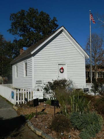
In 1821, the area that would become Tucker was in Militia District 572 in Henry County. The state created DeKalb County on December 9, 1822, and District 572 became DeKalb's 18th District, or the Brownings District, reportedly named for Andrew Browning.
Text from Wikipedia, licensed CC BY-SA 4.0.
Start Tucker’s collection
The first neighbors to add old photos shape how Tucker’s history is told.
0 of 10 decades since 1900 have photos 📦Share a family photoSign in to add one+10Famous people from Tucker
See all 12 →
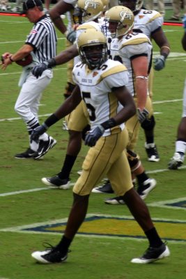
Tucker, decade by decade
2000
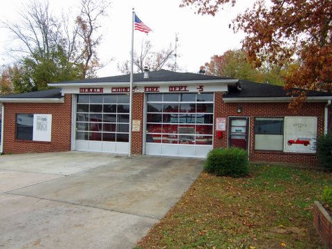
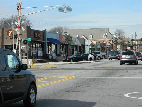
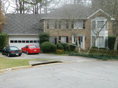

Then & now
When neighbors add old photos, retakes from the same spot appear here side by side.
Stories next door
nearby towns’ historyFrom Wikimedia Commons (6). Images are copied here with their credits and licenses, shown on each photo’s page. Refreshed monthly.