The story
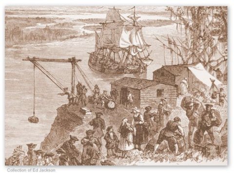
from WikipediaRead it all ↗On February 12, 1733, General James Oglethorpe and settlers from the ship Anne landed at Yamacraw Bluff and were greeted by Tomochichi, the Yamacraws, and Indian traders John and Mary Musgrove. Mary Musgrove often served as an interpreter. The city of Savannah and the colony of Georgia were founded on that date. In 1751, Savannah and the rest of Georgia became a Royal Colony, with Savannah as its capital.
Text from Wikipedia, licensed CC BY-SA 4.0.
Timeline
built from the dates on the items belowStart Savannah’s collection
The first neighbors to add old photos shape how Savannah’s history is told.
0 of 10 decades since 1900 have photos 📦Share a family photoSign in to add one+10Savannah, decade by decade
Then & now
When neighbors add old photos, retakes from the same spot appear here side by side.
Historic places
National Register · via Wikidata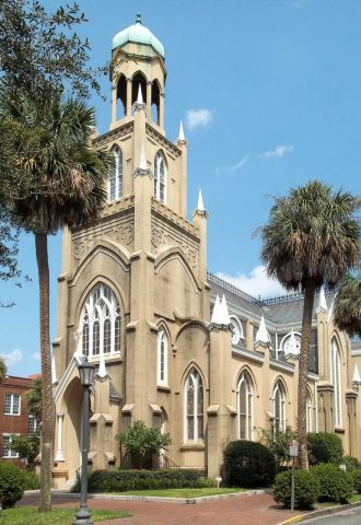
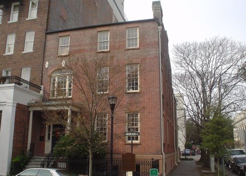
From Wikimedia Commons (4) and the National Register (2). Images are copied here with their credits and licenses, shown on each photo’s page. Refreshed monthly.