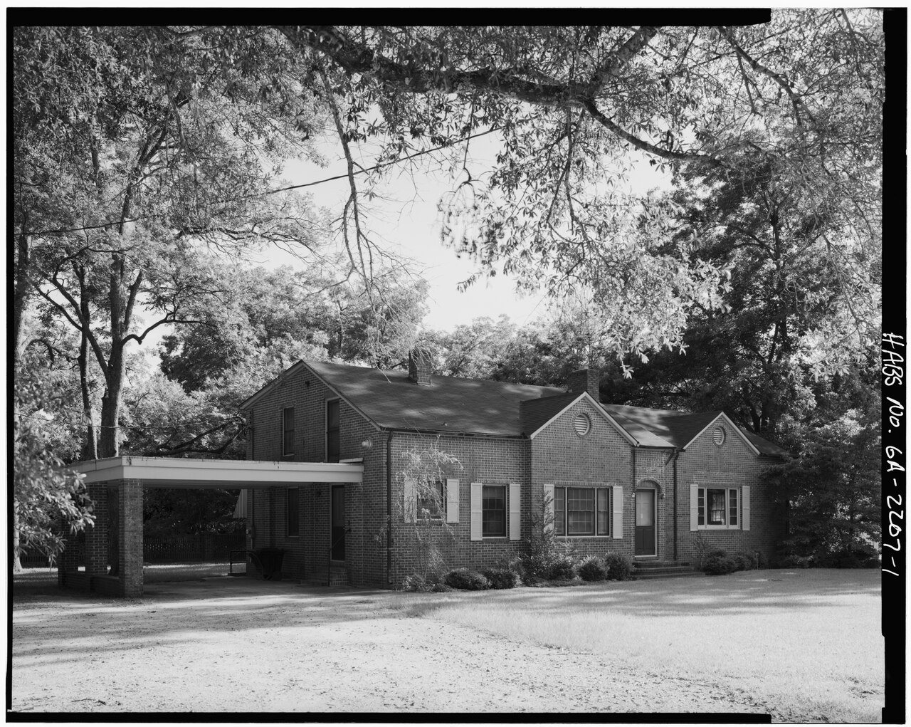
A history of Plains,
then and now
Postcards, papers and photographs of Plains from public archives, woven together by decade. Neighbors fill in the gaps.
The story
from WikipediaRead it all ↗Originally inhabited by the Muscogee people, three small settlements existed close to what would become Plains by the 1840s: Lebanon, Magnolia Springs, and Plains of Dura. In 1885, a significant turning point occurred when a major east–west railroad extended into the area and led to the three settlements being consolidated into one. As railway access expanded into the region in response to increased cotton farming, these settlements coalesced closer to the new railway location. As businesses rapidly developed, local businessmen successfully petitioned the Georgia State Legislature to shorten "Plains of Dura" to simply "Plains." The city was incorporated in 1896.
Text from Wikipedia, licensed CC BY-SA 4.0.
Timeline
built from the dates on the items belowFinish Plains’s story
Most archives stop around 1920. The photos from after that are in family albums, not libraries.
1 of 10 decades since 1900 have photos 🔁Retake an old viewEAST AND NORTH FACADES, SHOWING M…, 1933: stand where they stood+15 📦Share a family photoSign in to add one+10Famous people from Plains
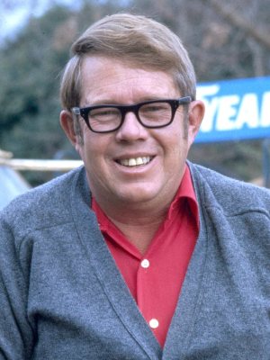
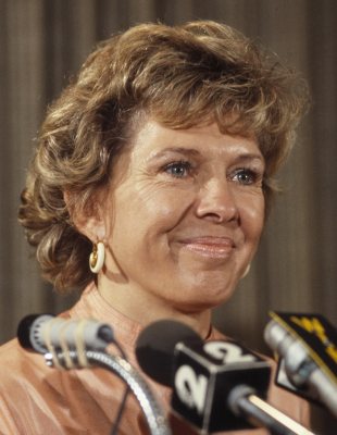
See all 7 →



Plains, decade by decade
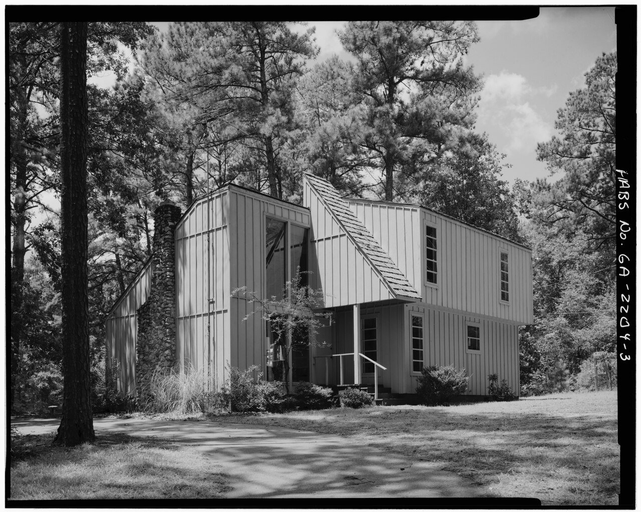
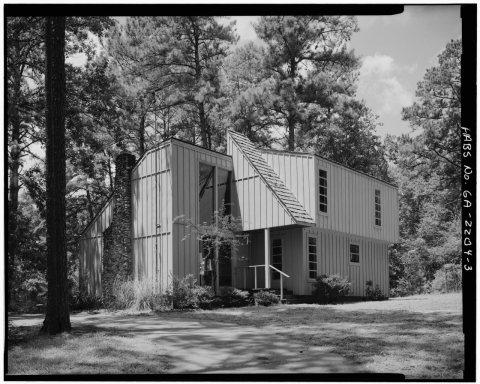 CommonsEAST AND NORTH FACADES, SHOWING MAIN ENTRY - Pond House, Fi…1933
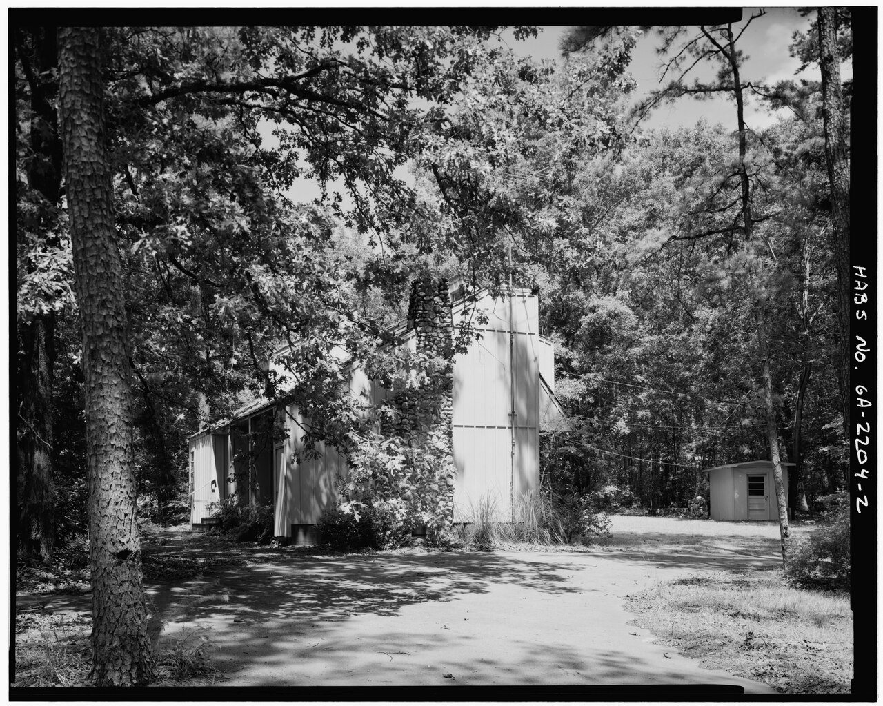
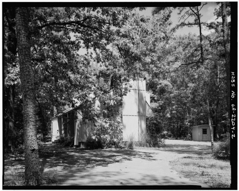 CommonsEAST FACADE WITH CHIMNEY, FROM DRIVEWAY - Pond House, Fish …1933
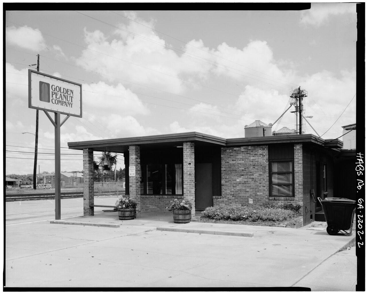
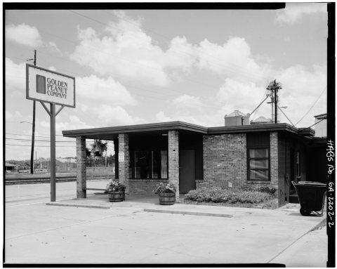 CommonsEAST FRONT - Carter Peanut Warehouse Complex1933
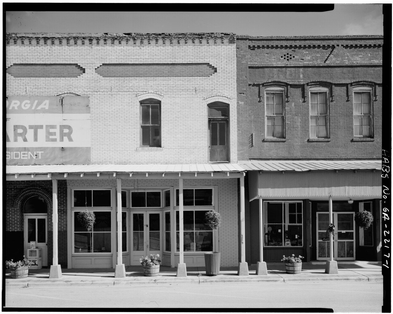
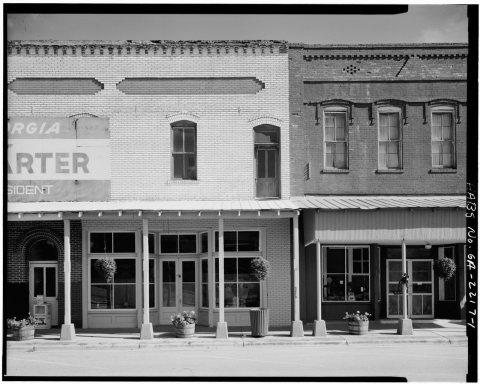 CommonsEAST PORTION OF NORTH FRONT AND ADJACENT BUILDING TO EAST -…1933
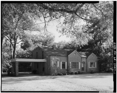 CommonsEAST SIDE AND NORTH FRONT - Lillian and Earl Carter House, …1933
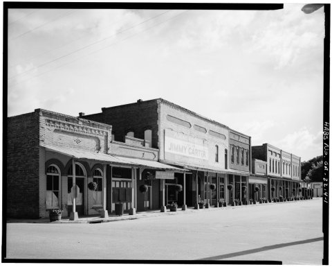 CommonsEAST SIDE AND NORTH FRONT, PERSPECTIVE OF ENTIRE BLOCK FROM…1933
1990s
2 historic places in Plains
Plains has 2 listings on the National Register, and they protect 99 historic buildings, because Plains Historic District alone counts 89.
Where they are
When they were listed
Then & now
No then-and-now pairs yet. Take a photo from the same spot as EAST AND NORTH FACADES, SHOWING MAIN ENTRY - Pond House, Fish Pond Road (near Old Plains Highway) (1933) and it appears here side by side.
🔁 Retake this view · +15Stories next door
nearby towns’ historyFrom Wikimedia Commons (6). Images are copied here with their credits and licenses, shown on each photo’s page. Refreshed monthly.