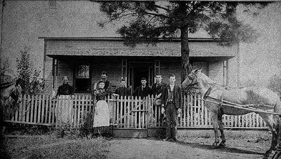
Mableton’s history is
mostly unwritten
The public archives hold only 2 old photos of Mableton. The rest are in attics, shoeboxes and the historical society. Help start the collection.
The story
from WikipediaRead it all ↗Between the 16th and 19th centuries, most of the land in present-day southern Cobb County belonged to the Cherokee and Creek. Two Native American villages were established near the area that will later become known as Mableton - the settlements of Sweet Water Town and Nickajack. Both tribes coinhabited the area peacefully, with one legend claiming that eventual ownership of the area by the Cherokee was settled via a ball game. One of the early known records of white Europeans being aware of the inhabitants is an 1839 map depicting a 'Nickajack Creek' converging with the Chattahoochee River south and west of the Standing Peachtree settlement.
Text from Wikipedia, licensed CC BY-SA 4.0.
Timeline
built from the dates on the items belowStart Mableton’s collection
The first neighbors to add old photos shape how Mableton’s history is told.
1 of 10 decades since 1900 have photos 🔁Retake an old viewMableton Glore family, 1894, 1894: stand where they stood+15 📦Share a family photoSign in to add one+10Mableton, decade by decade
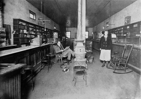
1990s
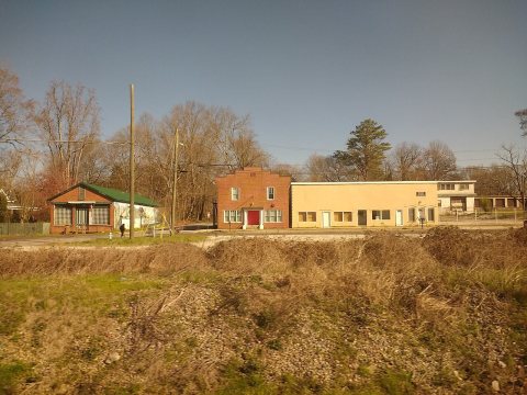
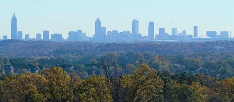
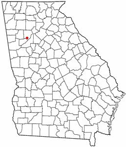
Then & now
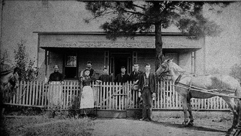
No then-and-now pairs yet. Take a photo from the same spot as Mableton Glore family, 1894 (1894) and it appears here side by side.
🔁 Retake this view · +15Stories next door
nearby towns’ historyFrom Wikimedia Commons (6). Images are copied here with their credits and licenses, shown on each photo’s page. Refreshed monthly.