A history of LaGrange,
since 1828
Postcards, papers and photographs of LaGrange from public archives, woven together by decade. Neighbors fill in the gaps.
The story
from WikipediaRead it all ↗LaGrange is named after the country estate near Paris of the wife of the Marquis de La Fayette. When La Fayette, a Revolutionary War hero, visited Georgia in 1825 on a national tour, he remarked on the similarity of local topography to his wife's property.
The European-American settlement of LaGrange began in the early 19th century, soon after the territory was ceded to the United States by the Creek Indians and the territorial legislature established Troup County. The city was incorporated in December 1828. The area was developed for cotton plantations, and planters migrating from the eastern areas of the South brought along or bought enslaved African Americans in the domestic slave trade to use as laborers.
Text from Wikipedia, licensed CC BY-SA 4.0.
Timeline
built from the dates on the items belowFinish LaGrange’s story
Most archives stop around 1920. The photos from after that are in family albums, not libraries.
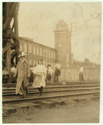
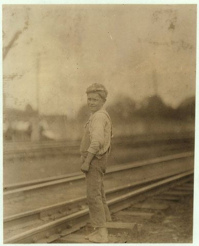
4 of 10 decades since 1900 have photos 🔁Retake an old viewA 12 year old girl who has been w…, 1913: stand where they stood+15 📦Share a family photoSign in to add one+10Famous people from LaGrange
See all 58 →

LaGrange, decade by decade
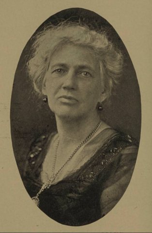
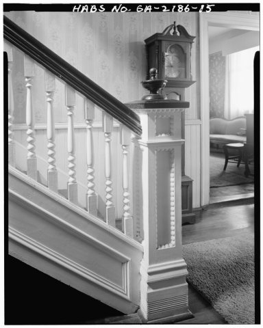 CommonsDetail of staircase newel post in first floor hall, first f…1933
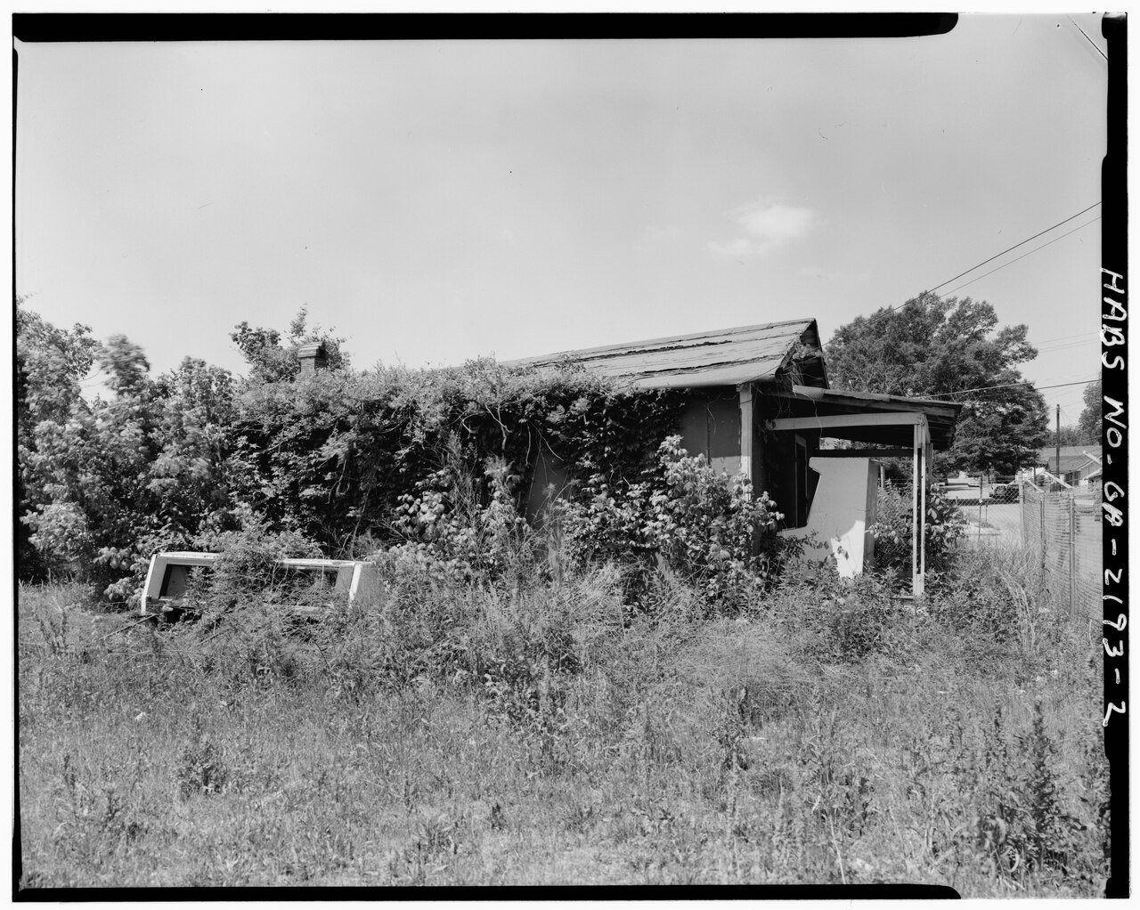
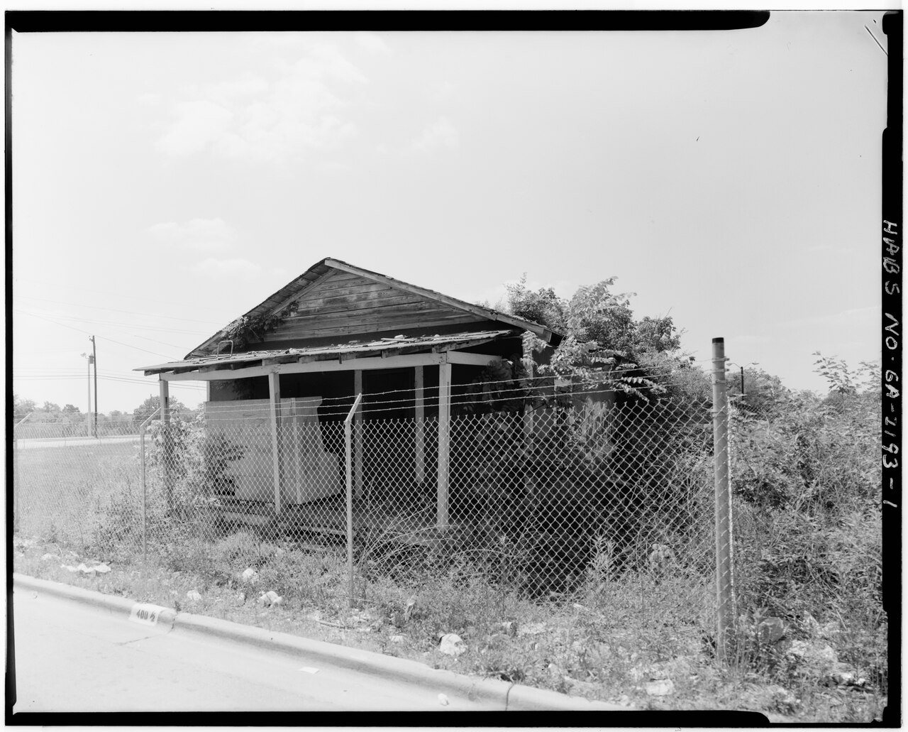
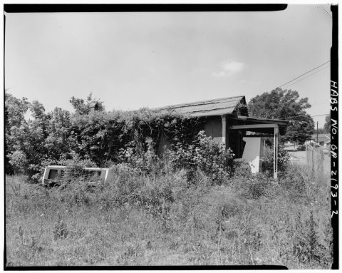 CommonsEast facade - 400 1-2 Dix Street (House), La Grange, Troup …1933
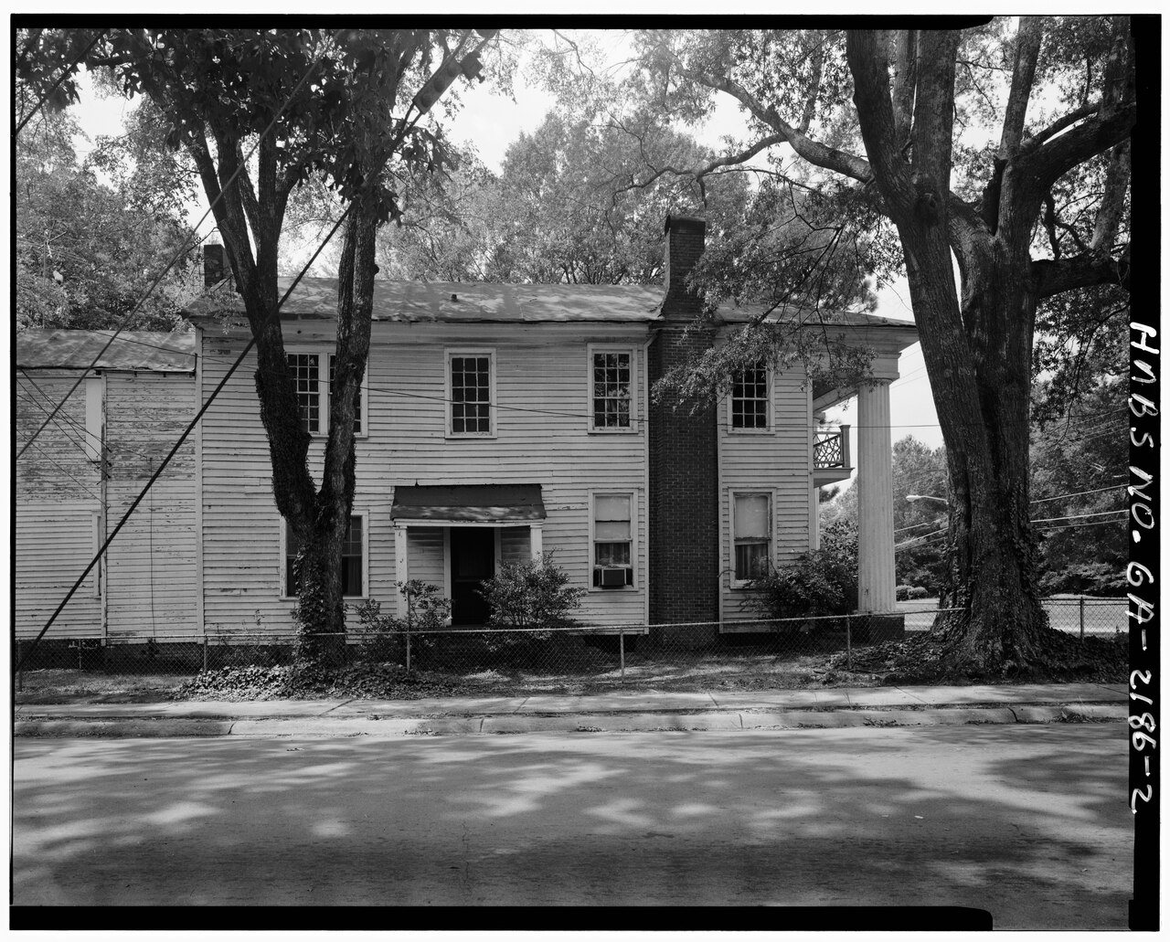
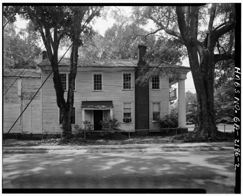 CommonsEast facade - Herndon-Glanton-Reeves House, 524 Greenville …1933
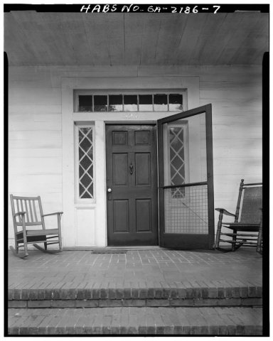 CommonsFront entrence - Herndon-Glanton-Reeves House, 524 Greenvil…1933
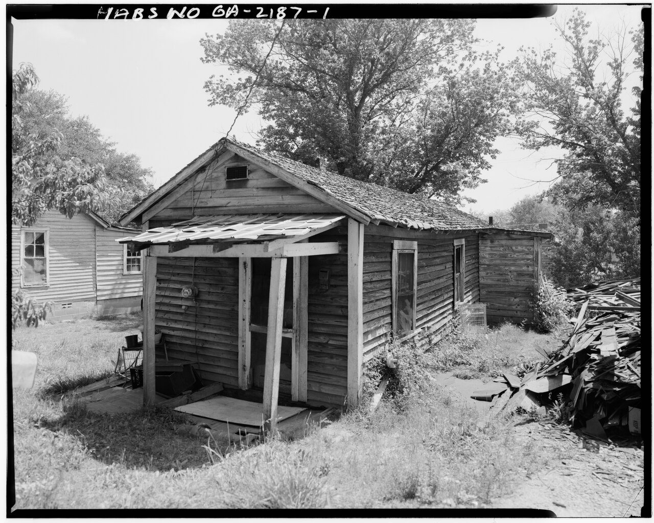
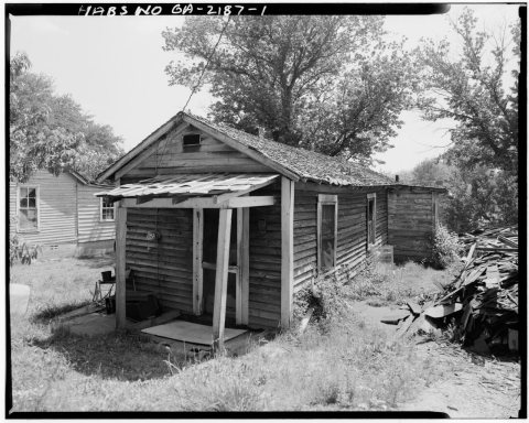 CommonsFront facade, looking east - 119 Burr Street (House), La Gr…1933
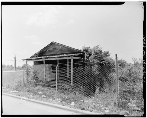 CommonsFront facade, looking south - 400 1-2 Dix Street (House), L…1933
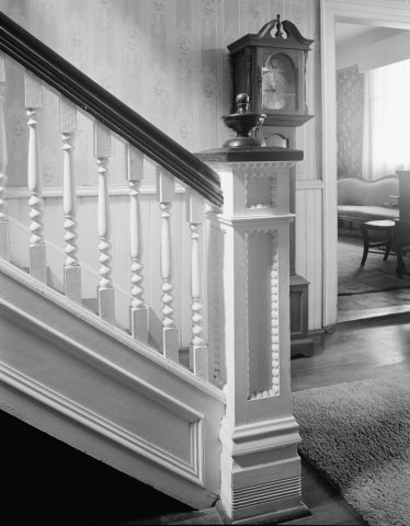 CommonsHerndon-Glanton-Reeves House, 524 Greenville Street, La Gra…1933
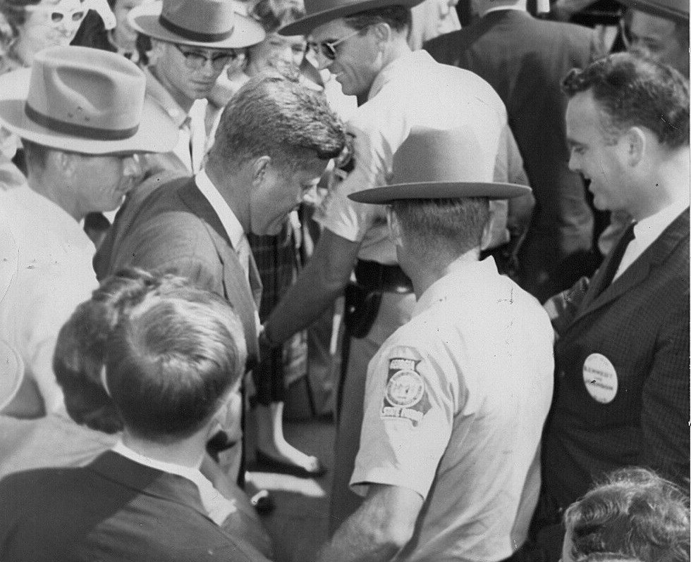
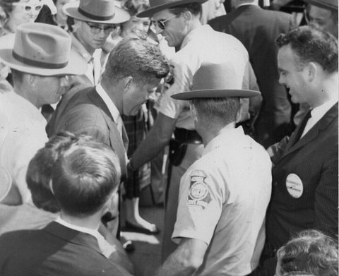 CommonsJohn F. Kennedy campaigns in LaGrange, Georgia 1960 (croppe…1960
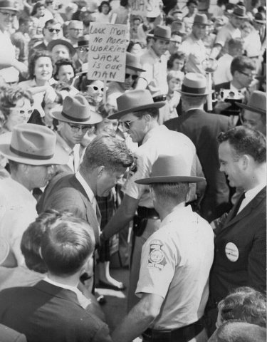 CommonsJohn F. Kennedy campaigns in LaGrange, Georgia 19601960
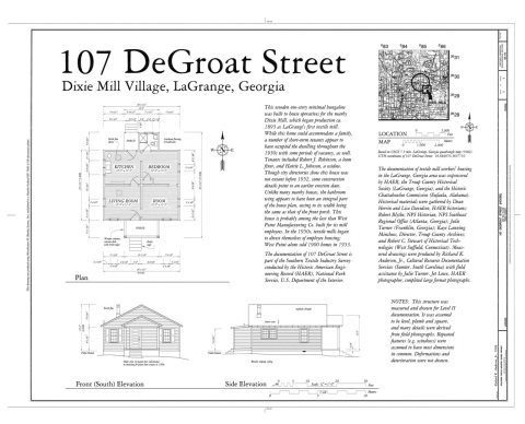 CommonsHAER GA,143-LAGR,23- (sheet 1 of 1) - 107 DeGroat Street (H…1968
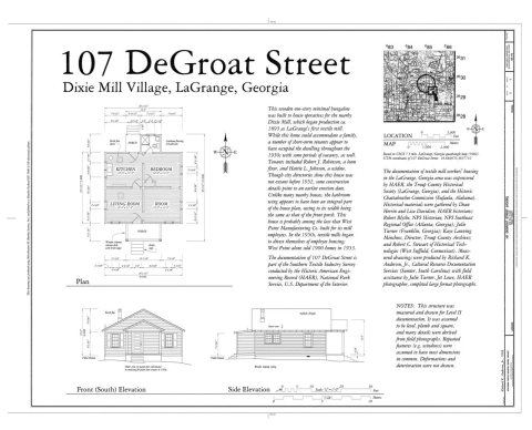 CommonsHAER GA,143-LAGR,23- (sheet 1 of 1) - 107 DeGroat Street (H…1968
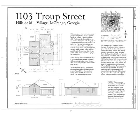 CommonsHAER GA,143-LAGR,38- (sheet 1 of 1) - 1103 Troup Street (Ho…1968
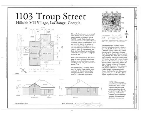 CommonsHAER GA,143-LAGR,38- (sheet 1 of 1) - 1103 Troup Street (Ho…1968
1990s
Then & now
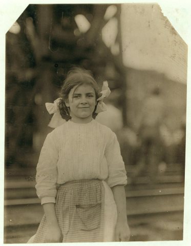
No then-and-now pairs yet. Take a photo from the same spot as A 12 year old girl who has been working in Weave room of Condolidated (i.e., Consolidated) Duck Mills, La Grange, Ga., … (1913) and it appears here side by side.
🔁 Retake this view · +15Historic places
National Register · via Wikidata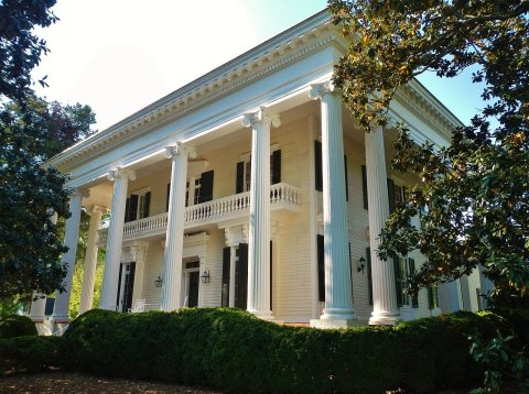
From Wikimedia Commons (17) and the National Register (1). Images are copied here with their credits and licenses, shown on each photo’s page. Refreshed monthly.