The story
from WikipediaRead it all ↗By February 1869, Willis Clary had begun building a two-story hotel near the junction of Macon and Brunswick Railroad and the Atlantic and Gulf Railroad and four stores had sprung up in the area. Clary became a driving force for the establishment of what would become Jesup and was its first mayor.
By September 1869, the town included five stores, a sawmill, and a railroad eating house in addition to Clary's hotel. By December 1869, the community had become known as Jesup.
Jesup was named for Thomas Jesup, a general during the Second Seminole War.
Text from Wikipedia, licensed CC BY-SA 4.0.
Start Jesup’s collection
The first neighbors to add old photos shape how Jesup’s history is told.
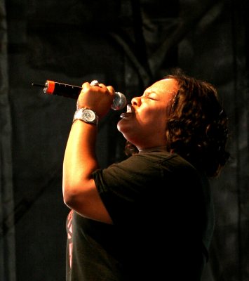
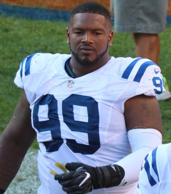
0 of 10 decades since 1900 have photos 📦Share a family photoSign in to add one+10Famous people from Jesup
See all 20 →
Jesup, decade by decade
2000
Then & now
When neighbors add old photos, retakes from the same spot appear here side by side.
Stories next door
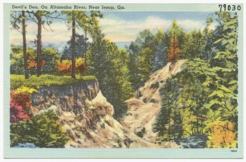
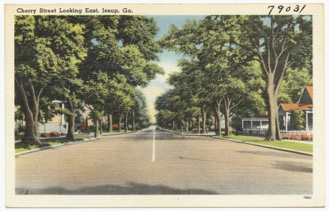
nearby towns’ historyFrom Wikimedia Commons (6). Images are copied here with their credits and licenses, shown on each photo’s page. Refreshed monthly.