A history of Dalton,
since 1847
Postcards, papers and photographs of Dalton from public archives, woven together by decade. Neighbors fill in the gaps.
The story
from WikipediaRead it all ↗Woodland Indians and Creek Nation initially held the area of present-day Dalton, Georgia. The first recorded white man in the area was Spanish explorer Hernando de Soto (1540). By the mid-18th century, when the Cherokee forced the Creek Nation out of their homelands, to the west and south, the Cherokee Indians called the mountains of north Georgia their "Enchanted Land" until their own forced removal in 1838.
Text from Wikipedia, licensed CC BY-SA 4.0.
Timeline
built from the dates on the items belowFinish Dalton’s story
Most archives stop around 1920. The photos from after that are in family albums, not libraries.
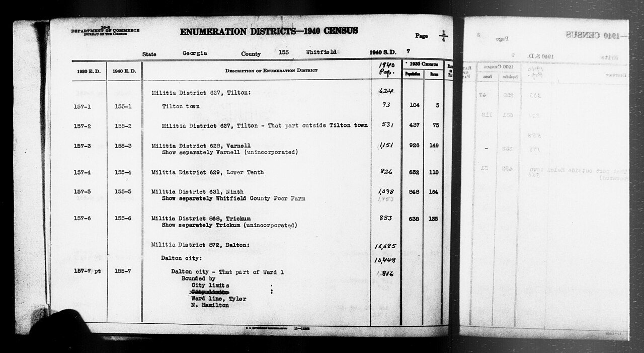
1 of 10 decades since 1900 have photos 🔁Retake an old view1940 Census Enumeration District …, 1850: stand where they stood+15 📦Share a family photoSign in to add one+10Famous people from Dalton
See all 32 →


Dalton, decade by decade
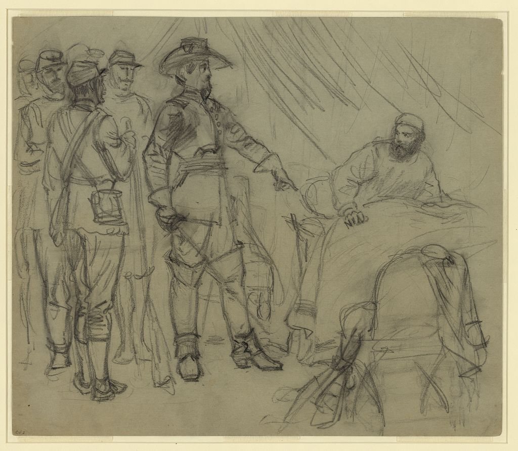
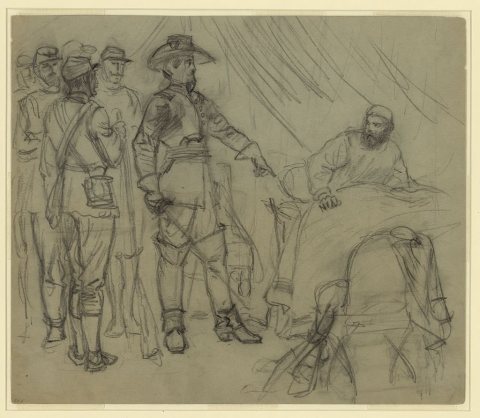 LOCOfficer pointing to man in bed in a tent1860
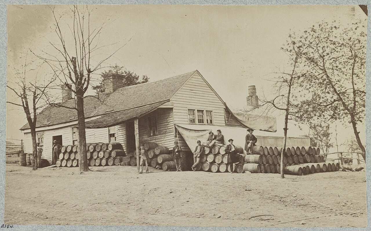
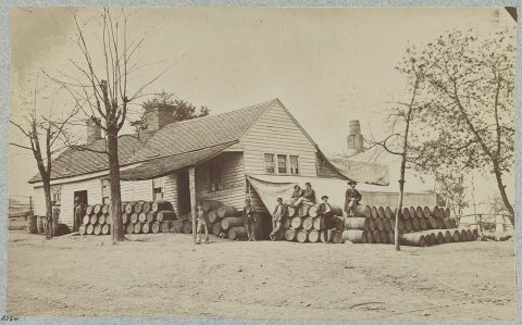 CommonsCommissary Depot, Rocky Face Ridge, Ga1861
 CommonsFortifications west of Dalton, Georgia1864
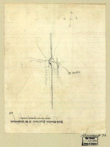
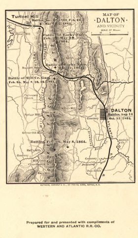 MapMap of Dalton and vicinity. (1864)1864
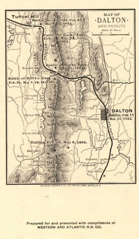 MapMap of Dalton and vicinity. (1864)1864
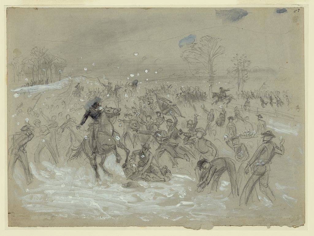
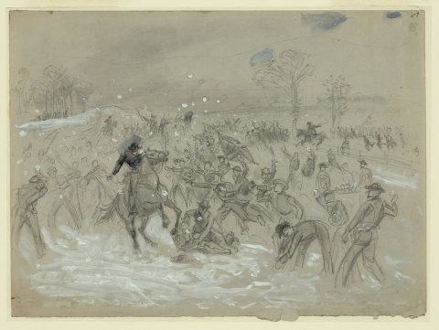 LOCThe snowball battle near Dalton, Georgia1864
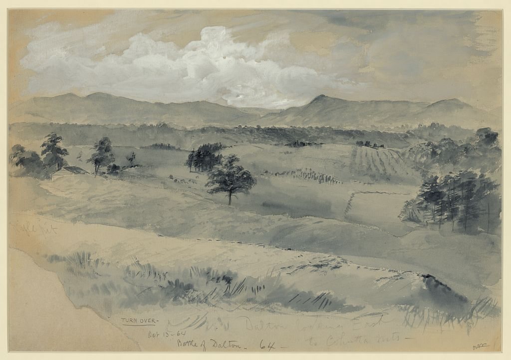
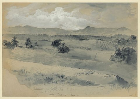 LOCDalton looking East to Cohutta Mts1864
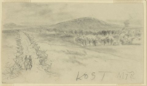 LOCLOST MTN1864
1990s
10 historic places in Dalton
Dalton has 10 listings on the National Register, and they protect 303 historic buildings, because Thornton Avenue-Murray Hill Historic District alone counts 98.
Where they are
When they were listed
 Listed 1978Western and Atlantic Depot
 Listed 1980Ainsworth E. Blunt House
 Listed 1982William C. Martin House
 Listed 1984Thomas A. Berry House
 Listed 1988Dalton Commercial Historic District
 Listed 1996Masonic Lodge No. 238Listed 1979Crown Mill Historic DistrictListed 1992Thornton Avenue-Murray Hill Historic DistrictListed 2002McCarty Subdivision Historic DistrictListed 2006Dalton Commercial Historic District (Boundary Increase)
Then & now
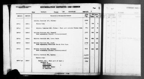
No then-and-now pairs yet. Take a photo from the same spot as 1940 Census Enumeration District Descriptions - Georgia - Whitfield County - ED 155-1, ED 155-2, ED 155-3, ED 155-4, ED… (1850) and it appears here side by side.
🔁 Retake this view · +15Stories next door
nearby towns’ historyFrom Wikimedia Commons (6), the Library of Congress (4) and the National Register (2). Images are copied here with their credits and licenses, shown on each photo’s page. Refreshed monthly.