The story
from WikipediaRead it all ↗Before European settlers arrived, the area around present-day Commerce was inhabited by the Creek and the Cherokee people. Historians describe a territorial war between the Creeks and Cherokees over the land in the county during the 1770s.
The Lacoda Trail, which extended from present-day Athens to the north Georgia mountains, was a significant trade and travel route through this area. (Georgia State Route 334, which follows a 9-mile (14 km) section of this ancient trail, was designated the "Lacoda Trail Memorial Parkway" by the Georgia General Assembly in 1998.)
Text from Wikipedia, licensed CC BY-SA 4.0.
Timeline
built from the dates on the items belowStart Commerce’s collection
The first neighbors to add old photos shape how Commerce’s history is told.
0 of 10 decades since 1900 have photos 📦Share a family photoSign in to add one+10Famous people from Commerce
See all 8 →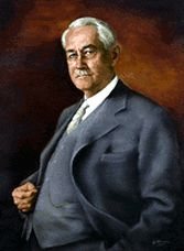




Commerce, decade by decade
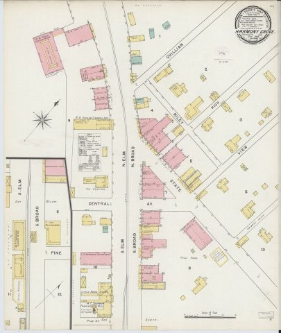
1990s
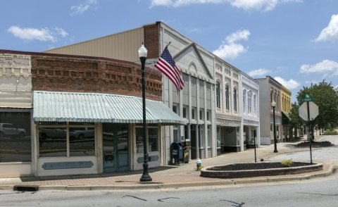

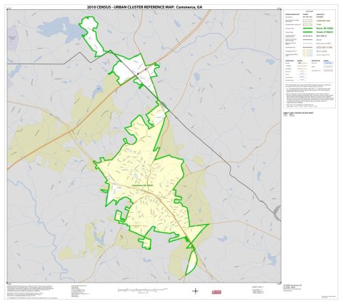
Then & now
When neighbors add old photos, retakes from the same spot appear here side by side.
Historic places
National Register · via WikidataFrom Wikimedia Commons (4), the Library of Congress (1) and the National Register (1). Images are copied here with their credits and licenses, shown on each photo’s page. Refreshed monthly.