The story
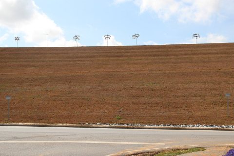
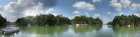
from WikipediaRead it all ↗The majority of lands in the city limits (the 700-acre (2.8 km2) Berkeley Lake Properties) were developed by Frank Coggins in the late 1940s. The dam, constructed in 1948, is one of the largest earthen dams in the state. The city's namesake, Lake Berkeley (77 acres (310,000 m2)), was named after Mr. Coggins' Berkeley Blue Granite Quarries in Elberton. In 1950 the Berkeley Lake "subdivision," which included five reserved Free Pass and Repass tracts (FPR) and the residential and fishing lots around the lake, was laid out. In 1952, Calvin and Kate Parsons, along with John and Dorothy Bagwell, purchased the Berkeley Realty & Investment Company and its 700-acre (2.8 km2) property.
Text from Wikipedia, licensed CC BY-SA 4.0.
Start Berkeley Lake’s collection
The first neighbors to add old photos shape how Berkeley Lake’s history is told.
0 of 10 decades since 1900 have photos 📦Share a family photoSign in to add one+10Berkeley Lake, decade by decade
2000

Then & now
When neighbors add old photos, retakes from the same spot appear here side by side.
Stories next door
nearby towns’ historyFrom Wikimedia Commons (6). Images are copied here with their credits and licenses, shown on each photo’s page. Refreshed monthly.