The story so far
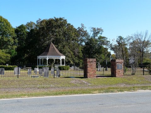
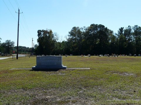
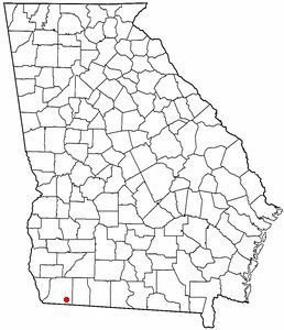
from Wikipedia & the U.S. CensusAttapulgus is a city in Decatur County, Georgia, United States. As of the 2020 census, the city had a population of 454, up from 449 at the 2010 census. It is part of the Bainbridge, Georgia micropolitan statistical area. The town's name is a Muscogee word meaning "Dogwood"; due to the abundance of attapulgite, which makes up the clay soil throughout much of the Southeast, the mineral was named after the town. Attapulgus was the birthplace of civil rights leader Hosea Williams (1926–2000), who is said to have been run out of town by a lynch mob at the age of 13. He is remembered around the world for his close association with Dr. Martin Luther King Jr., and for leading, with John Lewis, the…
Its population held steady between the last two censuses: 449 people in 2010, 454 in 2020. Half of its homes were built before 1960.
Wikipedia doesn’t have a history of Attapulgus yet — the old photos, dates and memories neighbors add here are how it gets written.
Intro from Wikipedia, licensed CC BY-SA 4.0. Population and housing: U.S. Census Bureau.
Start Attapulgus’s collection
The first neighbors to add old photos shape how Attapulgus’s history is told.
0 of 10 decades since 1900 have photos 📦Share a family photoSign in to add one+10Famous people from Attapulgus
See all 2 →

Attapulgus, decade by decade
2000


Nothing in Attapulgus is on the National Register yet
That’s true of most small towns. It doesn’t mean Attapulgus has no history, only that no one has written up a nomination. The closest listed place is Northside High School in Havana, 8.8 miles away.
Attapulgus and the nearest listed places


How a place gets listed
Then & now
When neighbors add old photos, retakes from the same spot appear here side by side.
Stories next door
nearby towns’ historyFrom Wikimedia Commons (5). Images are copied here with their credits and licenses, shown on each photo’s page. Refreshed monthly.