The story
from WikipediaRead it all ↗The Smithsonian Institution documented the presence of an Indian mound near Alapaha in 1886: "The Alapaha mound is situated 5 miles (8.0 km) northeast of the town of Alapaha, on Alapaha River, on lot of land No. 328, fifth district of Berrien County, Georgia. It is 38 feet (12 m) across, 6 feet (1.8 m) above the level, and somewhat oval in shape. In the center of the mound was a burial vault 6 feet (1.8 m) deep, 3 feet (0.91 m) wide, and 6 feet (1.8 m) long, north and south. Two bodies were deposited in this vault with the heads pointing south." It is possible that these remains became part of the Smithsonian collection, as was typical of its archaeological expeditions at the time. This source also gives the location and contents of two other Berrien County mounds south of Nashville, the Withlacoochee mound, and the French Ferry mound.
Text from Wikipedia, licensed CC BY-SA 4.0.
Start Alapaha’s collection
The first neighbors to add old photos shape how Alapaha’s history is told.
0 of 10 decades since 1900 have photos 📦Share a family photoSign in to add one+10Famous people from Alapaha
See all 2 →
Alapaha, decade by decade
2000
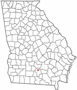
1 historic place in Alapaha
1 place in Alapaha is on the National Register of Historic Places, the country’s official list of buildings and places worth saving.
Where they are
When they were listed

Then & now
When neighbors add old photos, retakes from the same spot appear here side by side.
Stories next door
nearby towns’ historyFrom Wikimedia Commons (1) and the National Register (1). Images are copied here with their credits and licenses, shown on each photo’s page. Refreshed monthly.