A history of Sanford,
then and now
Postcards, papers and photographs of Sanford from public archives, woven together by decade. Neighbors fill in the gaps.
The story
from WikipediaRead it all ↗The Mayaca or Jororo Indians inhabited the shores of Lake Monroe at the time of European contact. By 1760, war and disease had decimated the tribe, which would be replaced by the Seminole. Florida was acquired by the United States from Spain in 1821, but the Seminole Wars would delay settlement.
Text from Wikipedia, licensed CC BY-SA 4.0.
Timeline
built from the dates on the items belowFinish Sanford’s story
Most archives stop around 1920. The photos from after that are in family albums, not libraries.
0 of 10 decades since 1900 have photos 🔁Retake an old view1940 Census Enumeration District …, 1880: stand where they stood+15 📦Share a family photoSign in to add one+10Famous people from Sanford
See all 29 →




Sanford, decade by decade
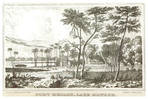
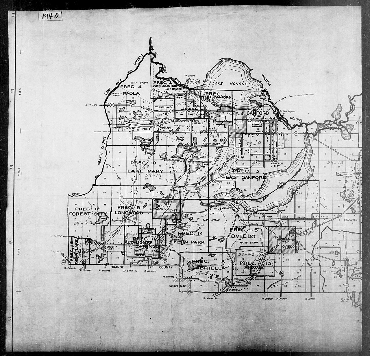
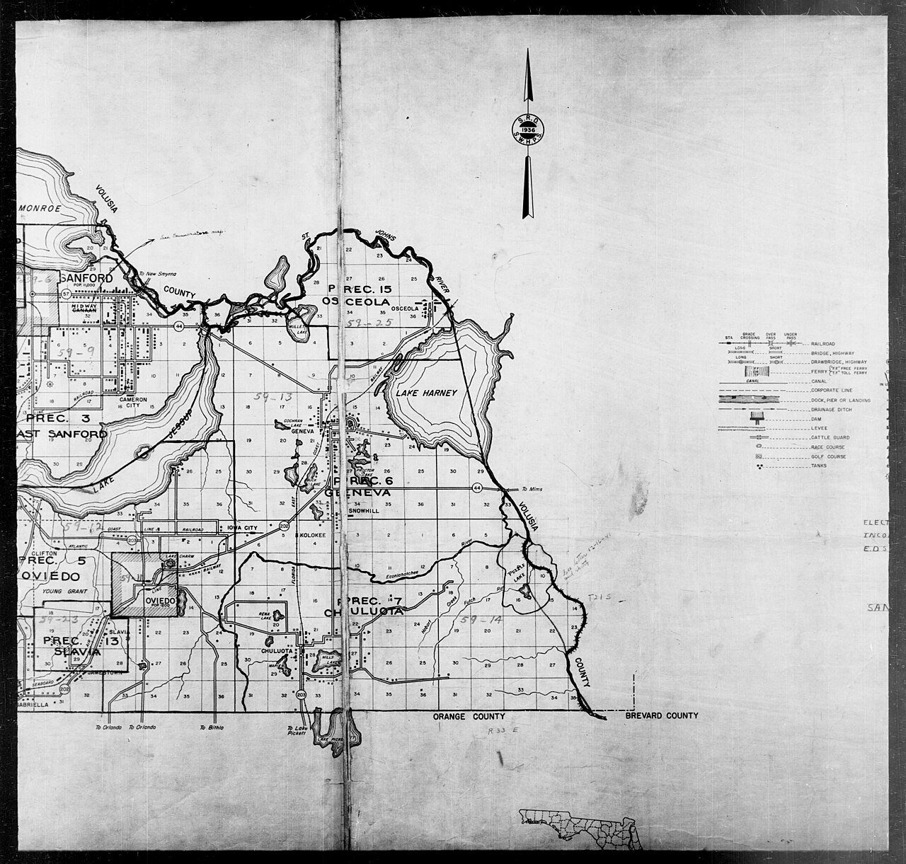
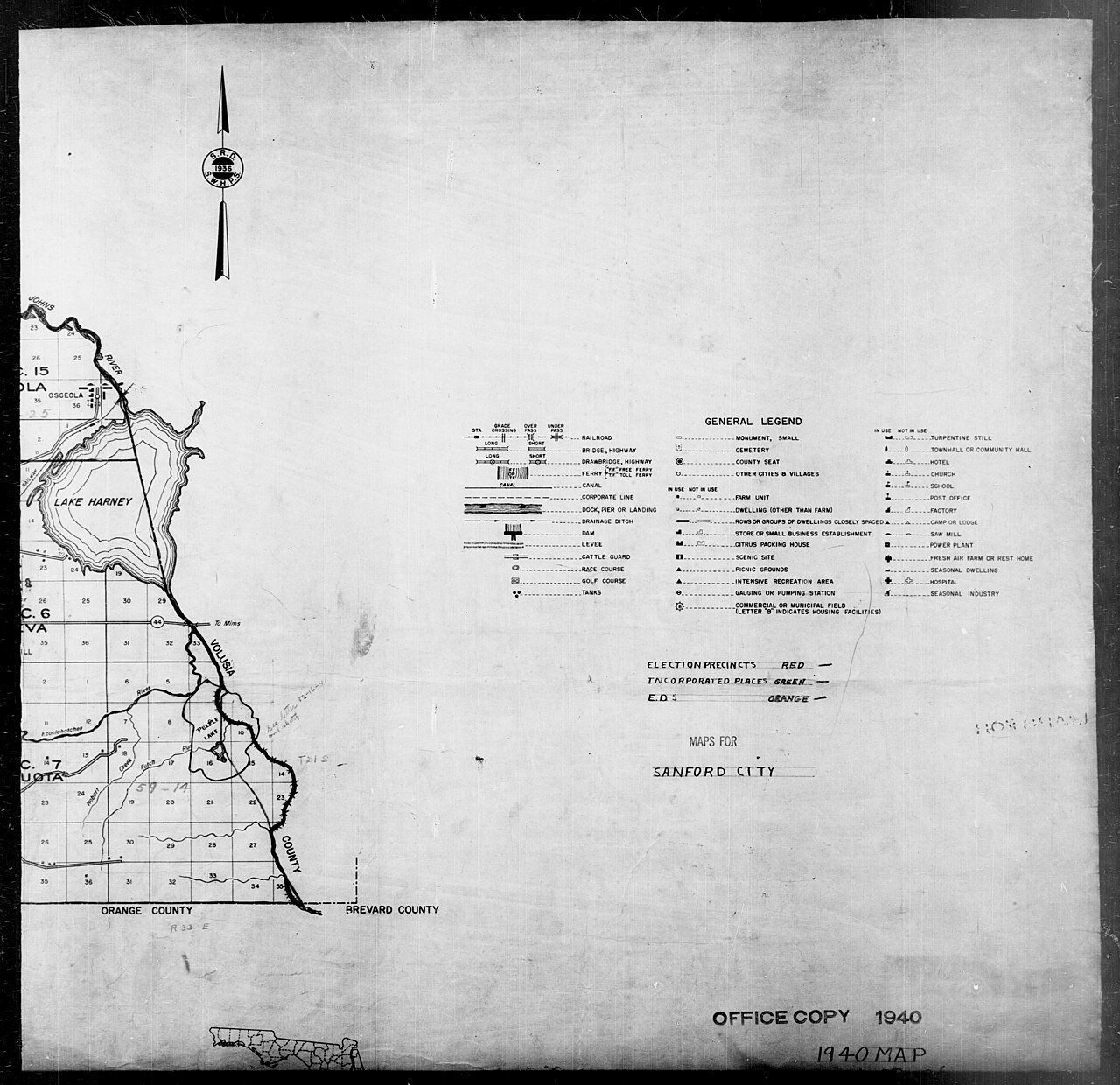
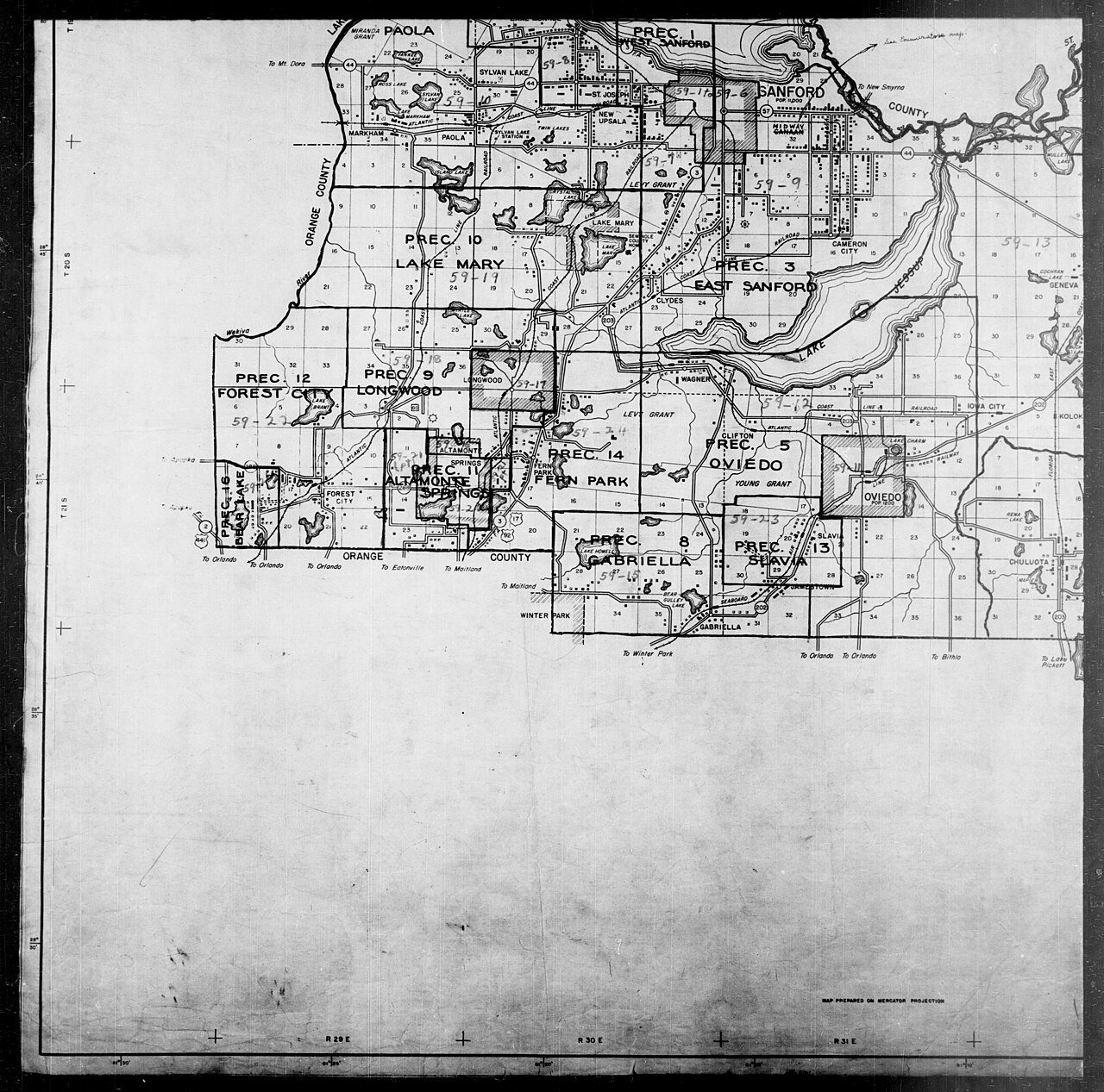
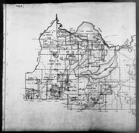 Commons1940 Census Enumeration District Maps - Florida - Seminole …1880
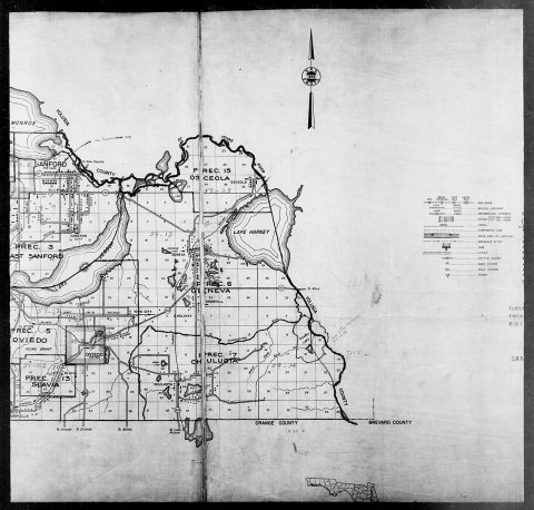 Commons1940 Census Enumeration District Maps - Florida - Seminole …1880
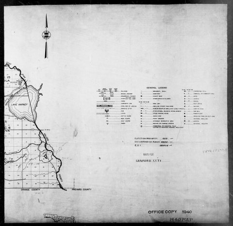 Commons1940 Census Enumeration District Maps - Florida - Seminole …1880
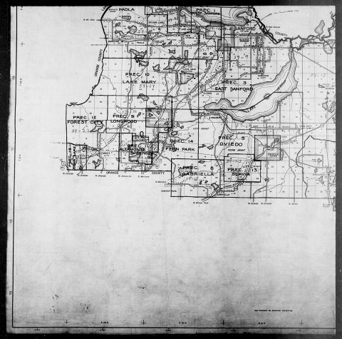 Commons1940 Census Enumeration District Maps - Florida - Seminole …1880
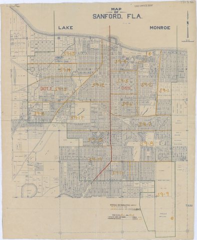 Commons1950 Census Enumeration District Maps - Florida (FL) - Semi…1880
1990s
9 historic places in Sanford
Sanford has 9 listings on the National Register, and they protect 764 historic buildings, because Sanford Residential Historic District alone counts 432.
Where they are
Architectural styles
When they were listed
 Listed 1976Sanford Commercial District
 Listed 1984Sanford Grammar School
 Listed 1987Old Fernald-Laughton Memorial Hospital
 Listed 1989Sanford Residential Historic District
 Listed 1992St. James A. M. E. Church
 Listed 1999Seminole County Home
 Listed 2001Ritz Theater
 Listed 2015Hopper AcademyListed 2020Georgetown Historic District
Then & now
No then-and-now pairs yet. Take a photo from the same spot as 1940 Census Enumeration District Maps - Florida - Seminole County - ED 59-1 - ED 59-26 (1880) and it appears here side by side.
🔁 Retake this view · +15Stories next door
nearby towns’ historyFrom Wikimedia Commons (6). Images are copied here with their credits and licenses, shown on each photo’s page. Refreshed monthly.