Orange Park’s history is
mostly unwritten
The public archives hold just one old photo of Orange Park. The rest are in attics, shoeboxes and the historical society. Help start the collection.
The story
from WikipediaRead it all ↗Orange Park in the late 18th century was known simply as Laurel Grove. The name Laurel Grove comes from Sarah and William Pengree, who received a land grant from the Spanish governor. Laurel Grove was sold to Zephaniah Kingsley, of the Kingsley Plantation, upon William's death. Zephaniah developed Laurel Grove into a model farming plantation for over 10 years. In 1813, General Matthews invaded East Florida, triggering the Patriots' Rebellion. After Mathews left East Florida, Zephaniah's wife, Anna Madgigine Jai Kingsley, burned down Laurel Grove to keep it out of Patriots' hands.
Text from Wikipedia, licensed CC BY-SA 4.0.
Start Orange Park’s collection
The first neighbors to add old photos shape how Orange Park’s history is told.
0 of 10 decades since 1900 have photos 🗓️Date a photo1 archive item has no date+2 🔁Retake an old view91.7 The Truth Final: stand where they stood+15 📦Share a family photoSign in to add one+10Famous people from Orange Park
See all 20 →

Orange Park, decade by decade
2000
unknown1 item
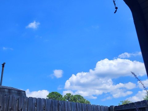 CommonsBlue Sky2024
 CommonsThe Urban Bean Coffeehouse Cafe, Orange Park, United States…2016
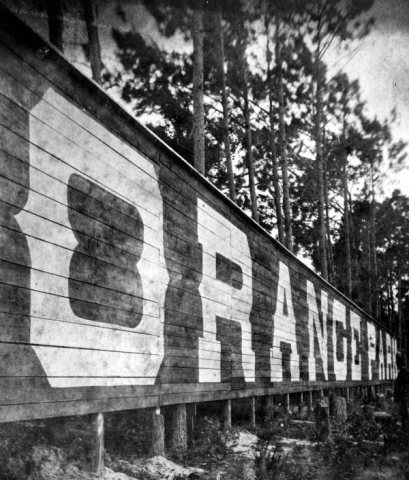 CommonsUntitled photo2014
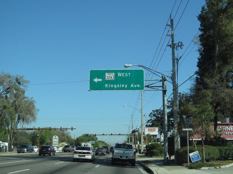 CommonsUS Highway 17 - Florida2013
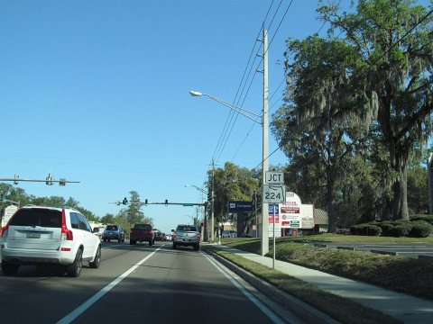 CommonsUS Highway 17 - Florida2013
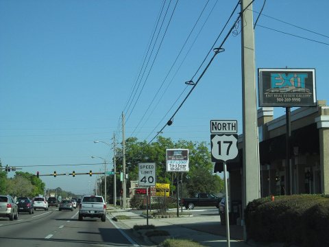 CommonsUS Highway 17 - Florida2013
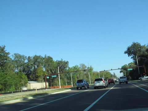 CommonsUS Highway 17 - Florida2013
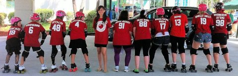 CommonsCBC Team20132013
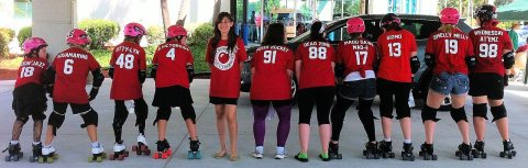 CommonsCBC Team2013
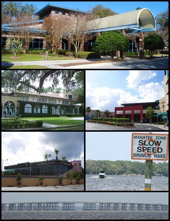 CommonsOrangeParkCFL2012
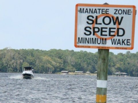 CommonsDoctorsLakeOP22008
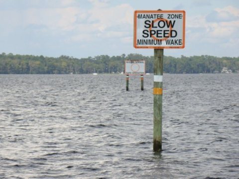 CommonsDoctorsLakeOP2008
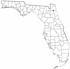 CommonsFLMap-doton-OrangePark2004
Then & now
No then-and-now pairs yet. Take a photo from the same spot as 91.7 The Truth Final and it appears here side by side.
🔁 Retake this view · +15Historic places
National Register · via Wikidata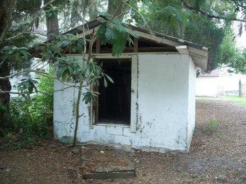
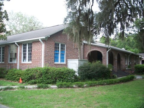
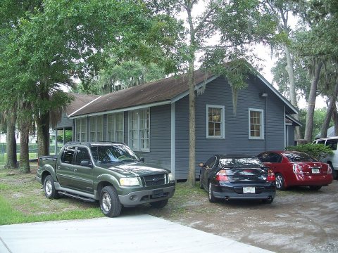
From Wikimedia Commons (14) and the National Register (3). Images are copied here with their credits and licenses, shown on each photo’s page. Refreshed monthly.