A history of Hialeah,
then and now
Postcards, papers and photographs of Hialeah from public archives, woven together by decade. Neighbors fill in the gaps.
The story
from WikipediaRead it all ↗The city's name is most commonly attributed to Muskogee origin, "Haiyakpo" (prairie) and "hili" (pretty) combining in "Hialeah" to mean "pretty prairie". Alternatively, the word is of Seminole origin meaning "Upland Prairie". The city is located upon a large prairie between Biscayne Bay and the Everglades.
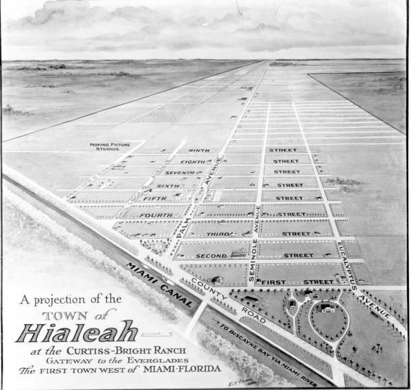
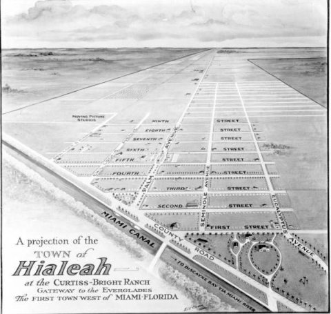
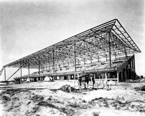
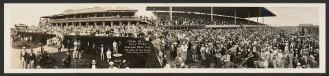
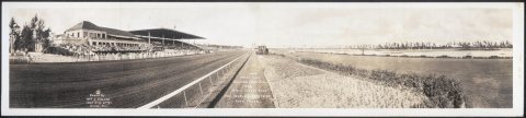
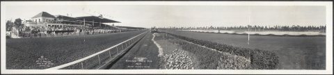
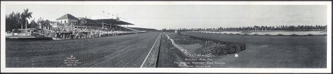
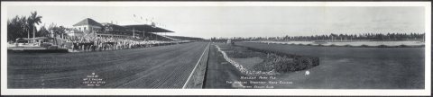
This "high prairie" caught the eye of pioneer aviator Glenn Curtiss and Missouri cattleman James H. Bright in 1921. Together, they developed not only the town of Hialeah but also Hialeah Park Race Track. In 1921, the first plat was drawn up, and the town was named.
Text from Wikipedia, licensed CC BY-SA 4.0.
Timeline
built from the dates on the items belowFinish Hialeah’s story
Most archives stop around 1920. The photos from after that are in family albums, not libraries.
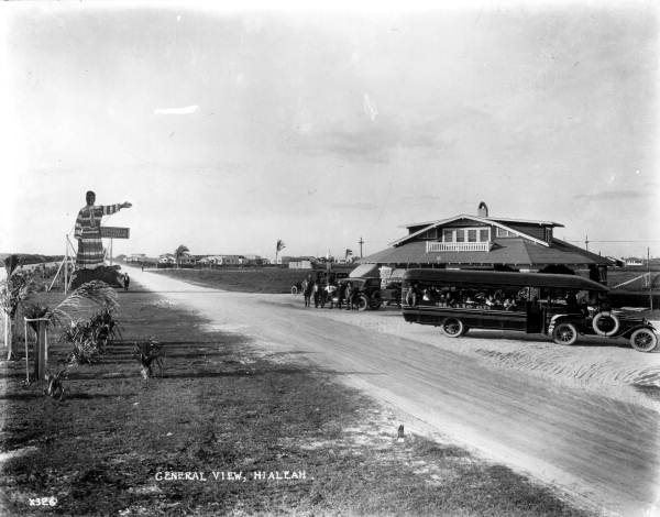
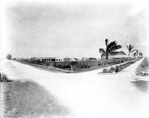
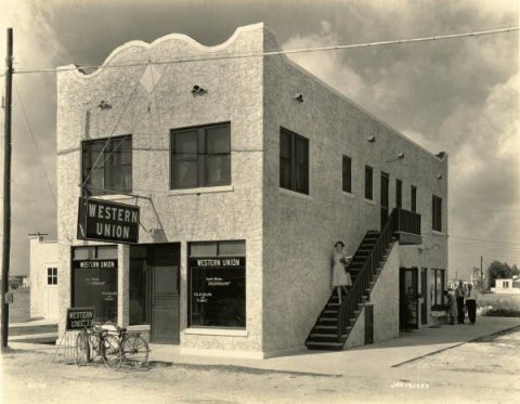
2 of 10 decades since 1900 have photos 🔁Retake an old viewDowntown Hialeah 1921, 1921: stand where they stood+15 📦Share a family photoSign in to add one+10Famous people from Hialeah
See all 36 →
Hialeah, decade by decade
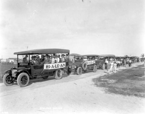
1990s
Then & now
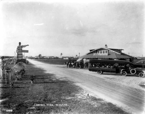
No then-and-now pairs yet. Take a photo from the same spot as Downtown Hialeah 1921 (1921) and it appears here side by side.
🔁 Retake this view · +15Stories next door
nearby towns’ historyFrom Wikimedia Commons (8) and the Library of Congress (4). Images are copied here with their credits and licenses, shown on each photo’s page. Refreshed monthly.