A history of Cedar Key,
then and now
Postcards, papers and photographs of Cedar Key from public archives, woven together by decade. Neighbors fill in the gaps.
The story
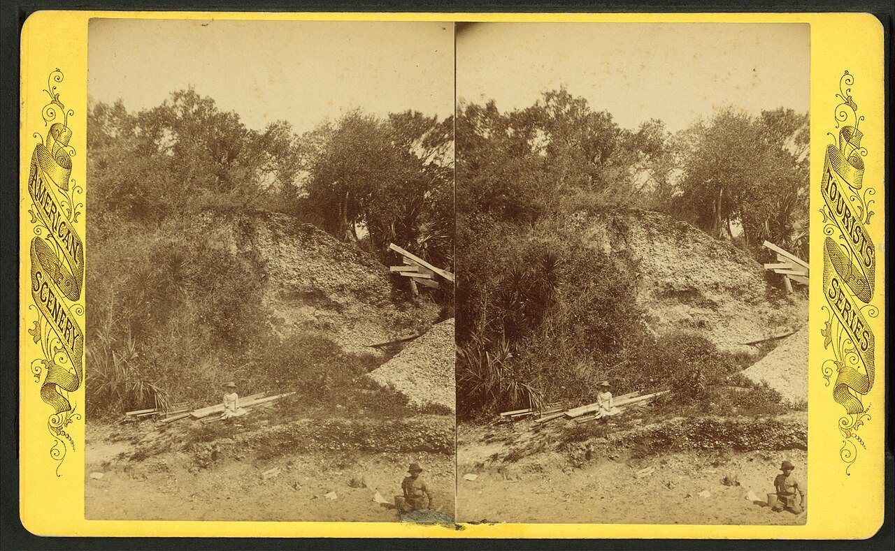
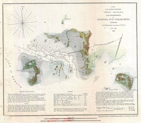
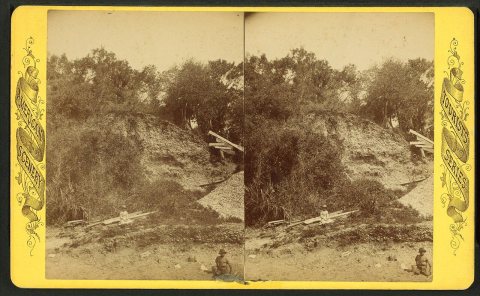
from WikipediaRead it all ↗While evidence suggests human occupation as far back as 500 BC, the first maps of the area date to 1542, when a cartographer from Spain labeled it "Las Islas Sabines" (which means "The Cedar Islands" in Spanish). An archaeological dig at Shell Mound, 9 miles (14 km) north of Cedar Key, found artifacts dating back to 500 BC in the top 10 feet (3.0 m) of the 28-foot-tall (8.5 m) mound. The only ancient burial found in Cedar Key was a 2,000-year-old skeleton found in 1999. Arrow heads and spear points dating from the Paleo period (12,000 years old) were collected by Cedar Key historian St. Clair Whitman, and are displayed at the Cedar Key Museum State Park.
Text from Wikipedia, licensed CC BY-SA 4.0.
Timeline
built from the dates on the items belowFinish Cedar Key’s story
Most archives stop around 1920. The photos from after that are in family albums, not libraries.
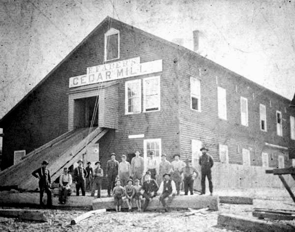
0 of 10 decades since 1900 have photos 🔁Retake an old viewCedar Key Faber Pencil Mill, c. 1850: stand where they stood+15 📦Share a family photoSign in to add one+10Famous people from Cedar Key
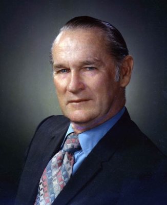
See all 2 →
Cedar Key, decade by decade
1 historic place in Cedar Key
1 place in Cedar Key is on the National Register of Historic Places, the country’s official list of buildings and places worth saving.
Where they are
When they were listed
Then & now
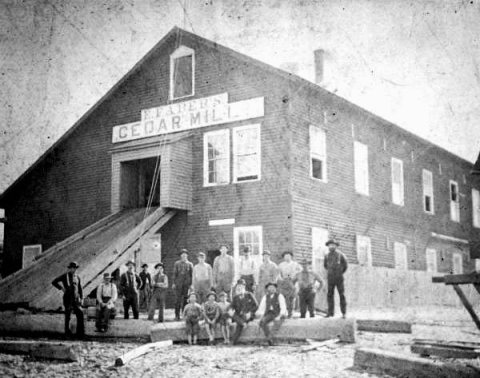
No then-and-now pairs yet. Take a photo from the same spot as Cedar Key Faber Pencil Mill (c. 1850) and it appears here side by side.
🔁 Retake this view · +15Stories next door
nearby towns’ historyFrom Wikimedia Commons (6). Images are copied here with their credits and licenses, shown on each photo’s page. Refreshed monthly.