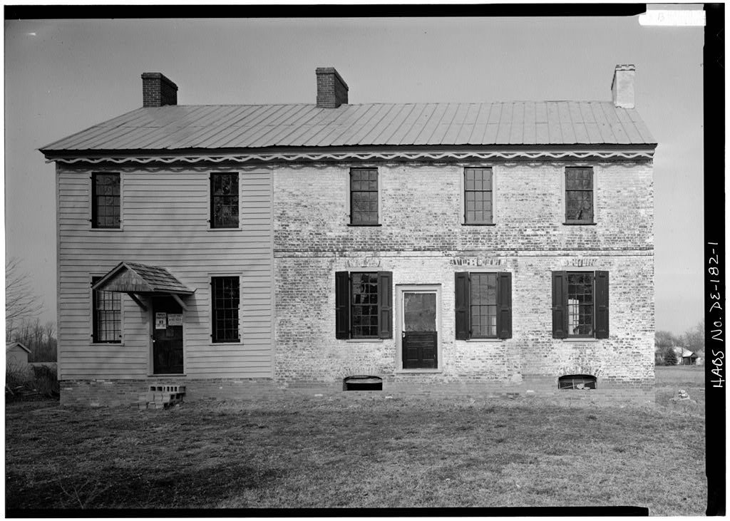
Magnolia’s history is
mostly unwritten
The public archives hold only 9 old photos of Magnolia. The rest are in attics, shoeboxes and the historical society. Help start the collection.
The story
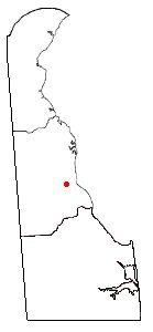
from WikipediaRead it all ↗The area was known as Caroon Manor when it was first founded and the land had been given by the Duke of York. The town of Magnolia was incorporated in 1885 and was named for the Duke of York's favorite tree, the Magnolia. When it was incorporated, the founders chose for the town to have a circular boundary to represent brotherhood. The boundary was 1⁄4 mile (0.40 km) in diameter. The town of Magnolia retains its original boundaries as the town council has decided against annexation of land to change the boundaries.
Text from Wikipedia, licensed CC BY-SA 4.0.
Start Magnolia’s collection
The first neighbors to add old photos shape how Magnolia’s history is told.
0 of 10 decades since 1900 have photos 🗓️Date a photo9 archive items have no date+2 🔁Retake an old viewMagnolia Family Restaurant: stand where they stood+15 📦Share a family photoSign in to add one+10Magnolia, decade by decade
2000
unknown9 items
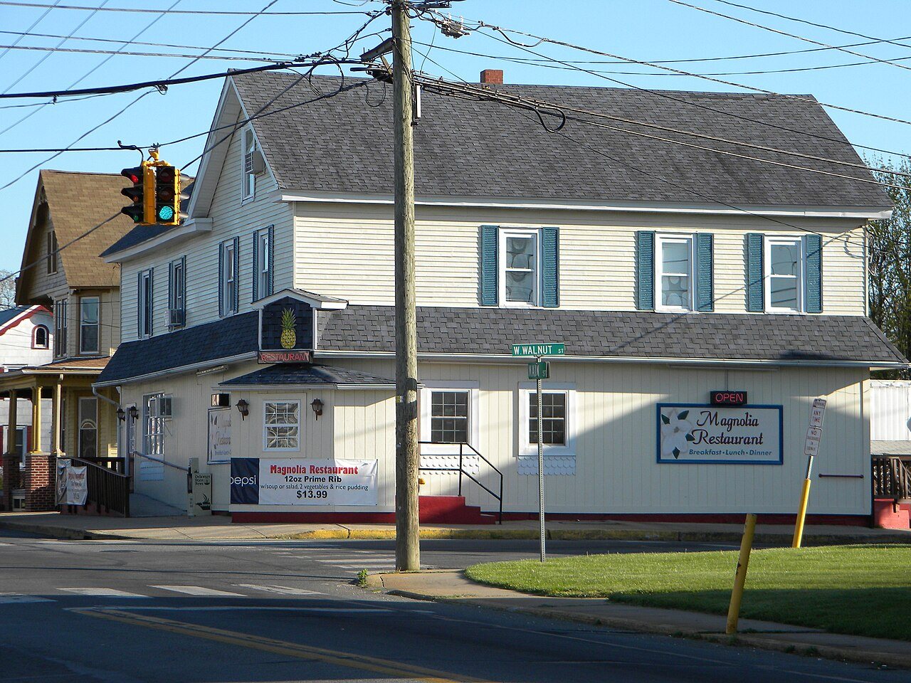
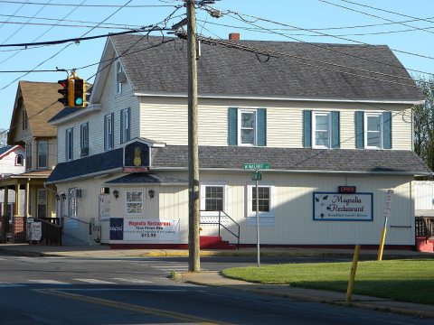 CommonsDate?Magnolia Family Restaurant
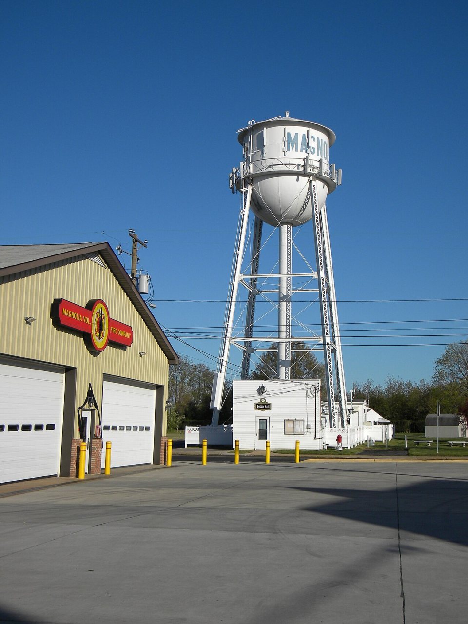
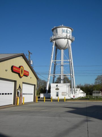 CommonsDate?Magnolia Fire Company
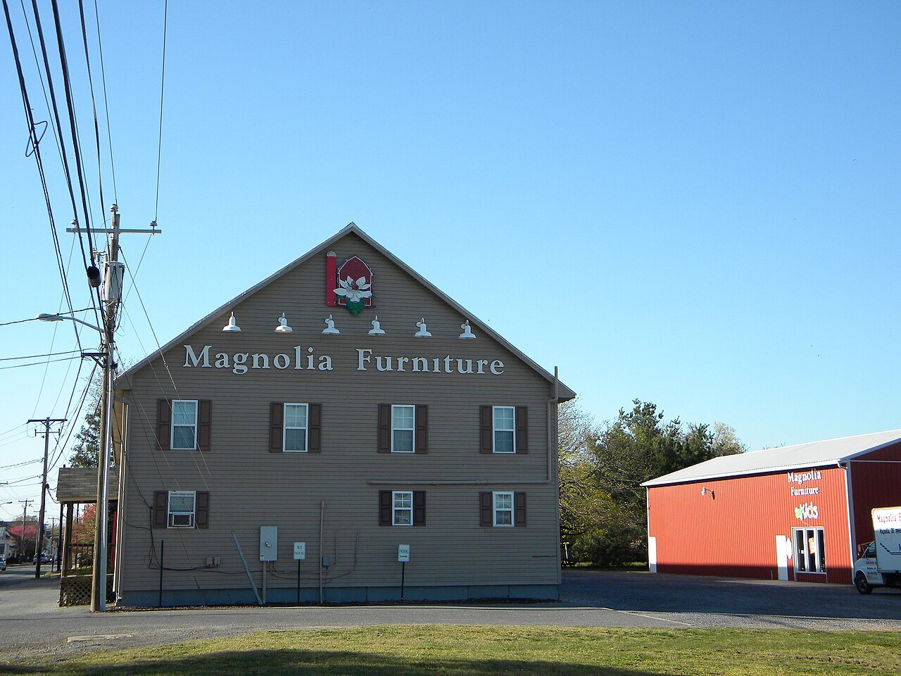
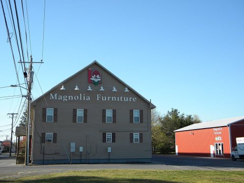 CommonsDate?Magnolia Furniture
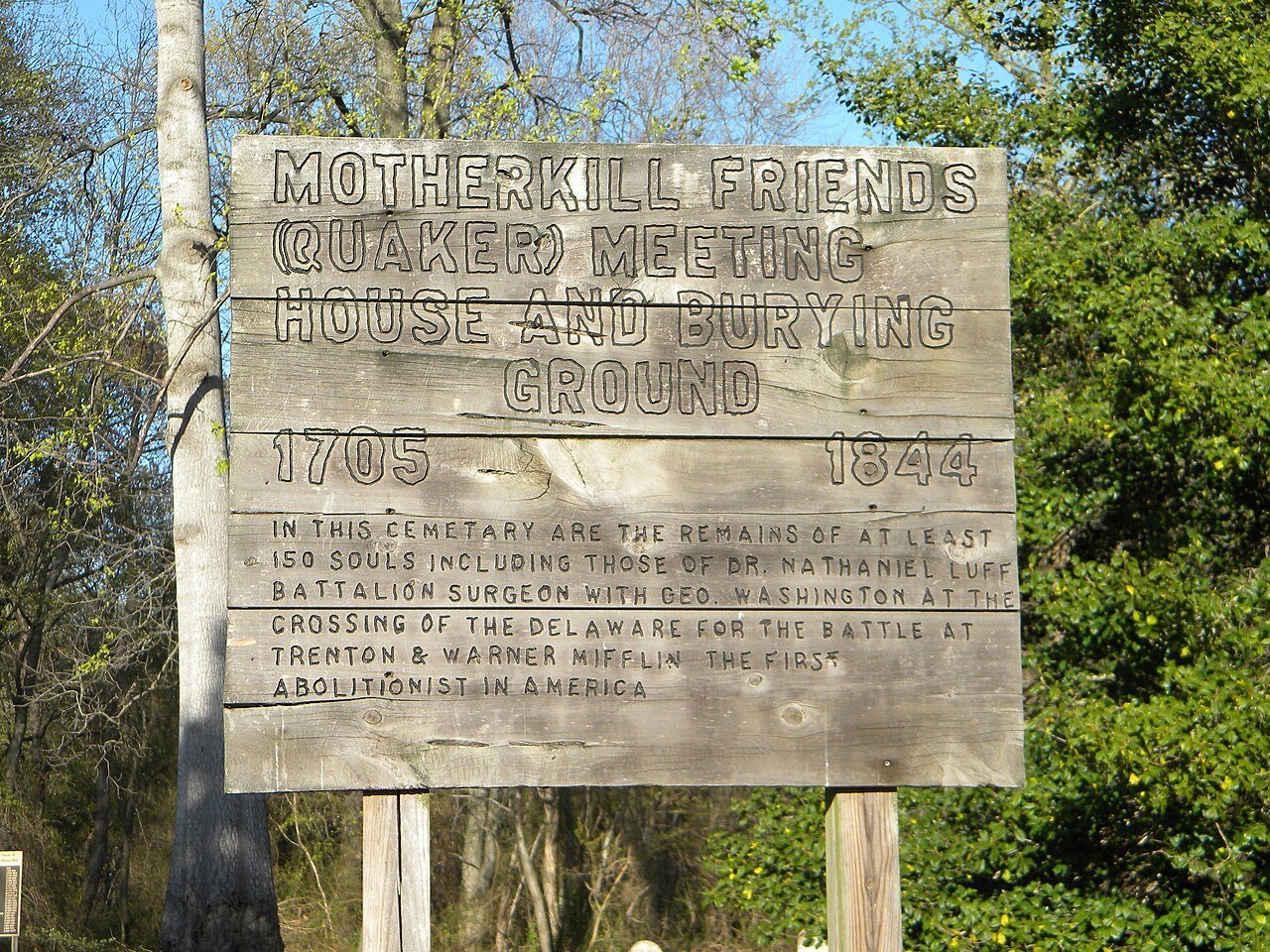
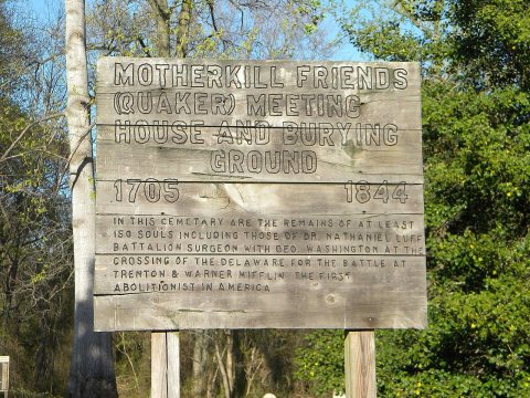 CommonsDate?Mother Kill Friends Burial Ground
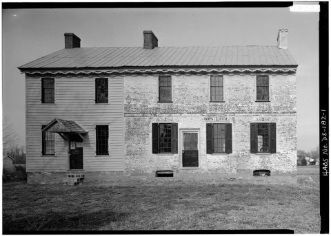 LOCDate?Matthew Lowber House, North Main Street
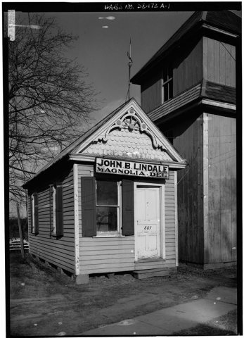 LOCDate?John B. Lindale Farm, Office, 24 South Main Street
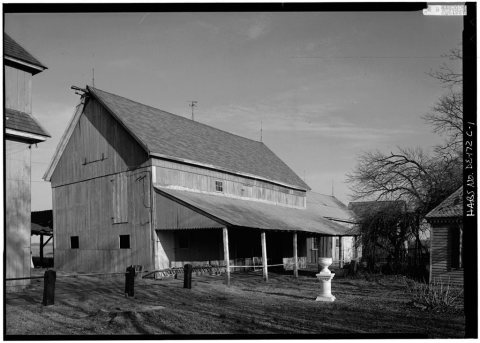 LOCDate?John B. Lindale Farm, Barn, 24 South Main Street
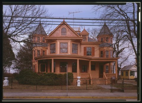 LOCDate?John B. Lindale House & Farm, 24 South Main Street
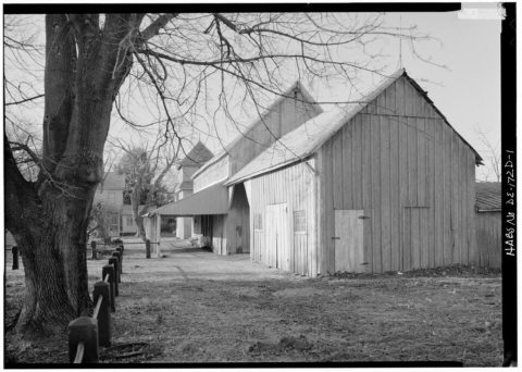 LOCDate?John B. Lindale Farm, Small Barn, 24 South Main Street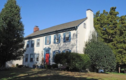
Then & now
No then-and-now pairs yet. Take a photo from the same spot as Magnolia Family Restaurant and it appears here side by side.
🔁 Retake this view · +15Stories next door
nearby towns’ historyFrom Wikimedia Commons (7) and the Library of Congress (5). Images are copied here with their credits and licenses, shown on each photo’s page. Refreshed monthly.