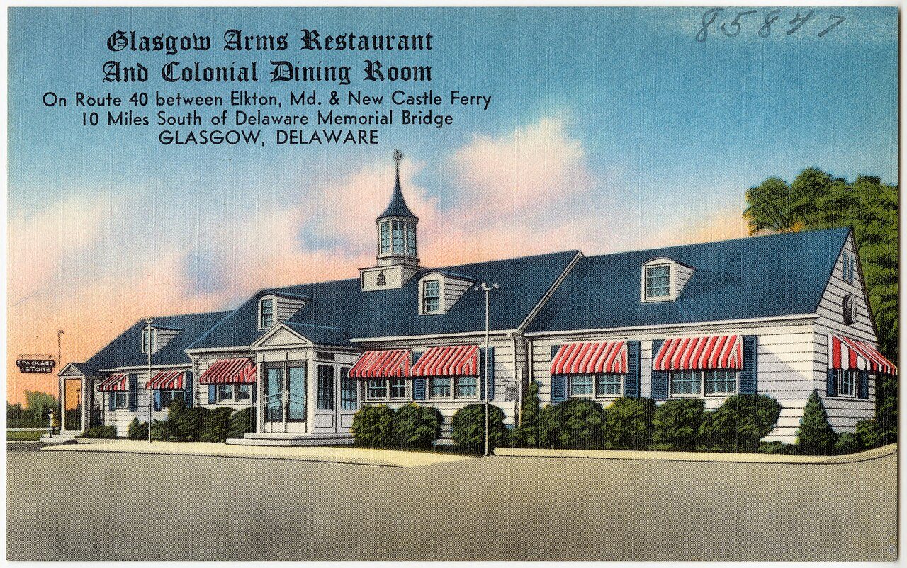
Glasgow’s history is
mostly unwritten
The public archives hold only 2 old photos of Glasgow. The rest are in attics, shoeboxes and the historical society. Help start the collection.
The story
from WikipediaRead it all ↗During the American Revolution, it was known as Aikentown, named after tavern owner Matthew Aiken. The town was renamed by Scottish settlers after the city in Scotland. La Grange and the James Stewart House are listed on the National Register of Historic Places.
Text from Wikipedia, licensed CC BY-SA 4.0.
Timeline
built from the dates on the items belowStart Glasgow’s collection
The first neighbors to add old photos shape how Glasgow’s history is told.
1 of 10 decades since 1900 have photos 🔁Retake an old viewGlasgow Arms Restaurant and Colon…, c. 1930: stand where they stood+15 📦Share a family photoSign in to add one+10Famous people from Glasgow
See all 2 →Glasgow, decade by decade
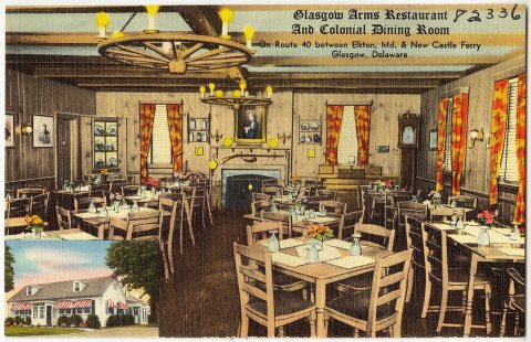
1990s
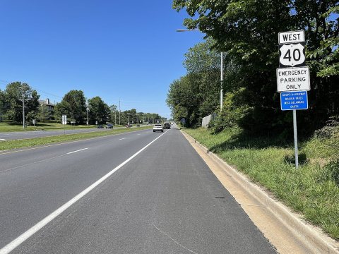 CommonsUS 40 WB past DE 722021
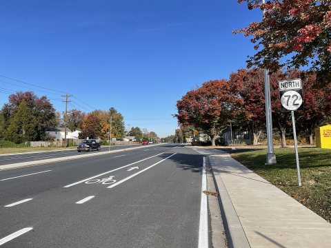 CommonsDE 72 NB past US 402021
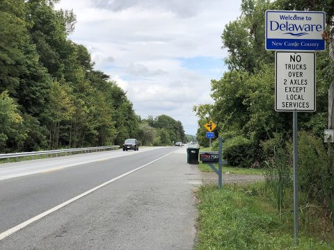 Commons2021-08-16 16 02 44 View east along Old Baltimore Pike just…2021
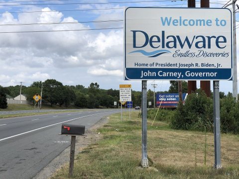 Commons2021-08-16 15 31 25 View east along U.S. Route 40 (Pulaski …2021
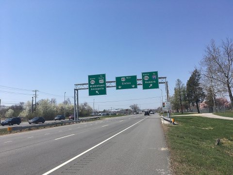 CommonsUS 40 WB approaching US 301-DE 8962018
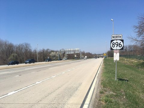 CommonsDE 896 NB past US 402018
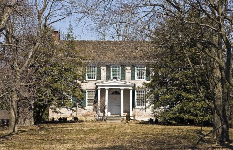 CommonsLa Grange Glasgow DE12010
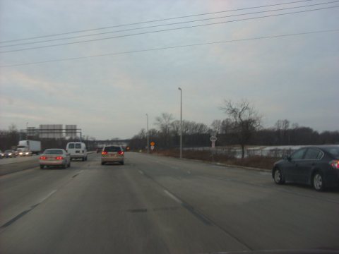 CommonsDE 896 northbound past US 40-US 3012009
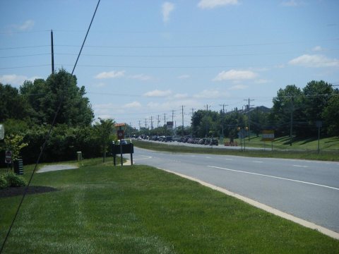 CommonsUS 40 EB approaching DE 722008
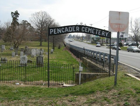 CommonsDo Not Enter2008
Then & now
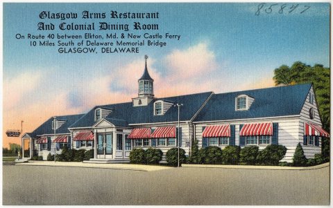
No then-and-now pairs yet. Take a photo from the same spot as Glasgow Arms Restaurant and Colonial Dining Room on Route 40 between Elkton, Md. and New Castle Ferry, 10 miles south o… (c. 1930) and it appears here side by side.
🔁 Retake this view · +15Stories next door
nearby towns’ historyFrom Wikimedia Commons (12). Images are copied here with their credits and licenses, shown on each photo’s page. Refreshed monthly.