Washington

What’s happening
Be the first to post in Washington — introduce yourself, ask a question, or share what’s happening.
Upcoming events
Put the next local happening — a market, a meeting, a concert — on the map.
Local news
Headlines via Google News · Articles belong to their publishers.
The Washington album
Outdoors in Washington
Parks & trails →Trails & parks © OpenStreetMap contributors · Conserved land: USGS PAD-US
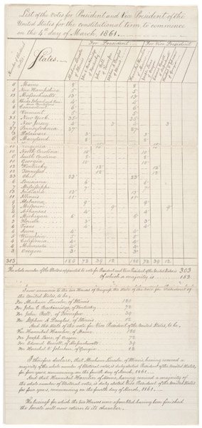 1861
1861
Electoral Vote Tally for the 1860 Presidential Election - DPLA - b53b74bcfd90a51790fcbfa614d42237 (page 1), 1861
Photo · Wikimedia Commons
Landmark of the day
All 687 historic places →
Military Road School
Military Road School was added to the National Register of Historic Places on Jul 25, 2003. It is significant for its architecture, education, black history and social history at the state level. It was listed as part of Public School Buildings of Washington, DC MPS.
About Washington
Federal capital district of the United StatesWashington, D.C., officially the District of Columbia and commonly known as Washington, is the federal capital city of the United States, and its only federal district. The city stands on the north-east bank of the Potomac River, across from the state of Virginia, surrounded by Maryland to its north, east, and south. The district was named for Columbia, the female personification of the American nation, through which human form and attributes are applied to the United States. "Washington" is a more recent addition to the city's common name, and is from the name of George Washington, the first U.S. president. The U.S. Constitution in 1789 called for the creation of a federal district under e…
From Wikipedia, licensed CC BY-SA 4.0 · facts via Wikidata (CC0)
Town numbers
Housing in Washington
The typical Washington home is worth about $570,000, down 1% in a year, close to the District of Columbia typical home.
A balanced market
Safety in Washington
Safety Grade D-
Washington reports more crime per resident than most U.S. towns we grade: about 97% report less.
Work & commute in Washington
Full picture →69% of Washington’s working residents work right in town. The top destinations are Arlington (4%), Bethesda (2%) and Tysons (2%). Half commute less than 4 miles.
Health in Washington
Health Grade A+
Healthier than 96% of U.S. towns on seven CDC estimates.
Compared with District of Columbia
of 32 measures CDC estimates. The other 28 are too close to call.
What stands out
Care nearby
Natural hazards in Washington
Expected storm and flood damage is higher than in 1% of U.S. communities.
Climate in Washington
Full climate →Washington has chilly winters and warm summers. A typical July afternoon reaches 89°, a January night drops to 27°, and about 6 inches of snow falls in a normal winter.
Schools in Washington
All Washington schools →School Grade B+
The public schools Washington’s kids attend, from kindergarten through graduation, outperform 67% of District of Columbia’s districts on state tests and graduation.
School data from the U.S. Department of Education (NCES, EDFacts). The School Grade is our own summary of state test results and graduation rates, graded within DC. Ratings are from neighbors.
Washington is a college town
Colleges →of Washington’s residents are enrolled in college. George Washington University has about 21,060 students on campus, and 16 more colleges are in town.
Washington’s library
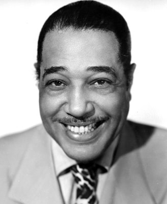
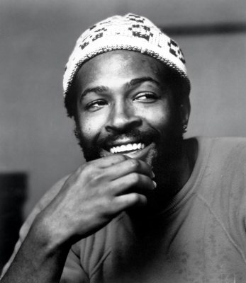
Library details →Famous people from Washington
See all 25 →



Where Washington is
Explore map →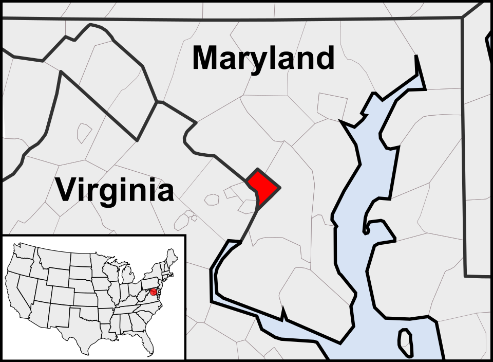

Location map