The story
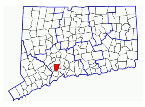
from WikipediaRead it all ↗Woodbridge was originally called "Amity", having been carved out of land originally belonging to New Haven and Milford as an independent parish in 1739. In 1742, the Rev. Benjamin Woodbridge was ordained in Amity, and it is after him that the modern town was named. Woodbridge was incorporated in 1784.
In 1661, the town was the location of one of the hideouts of the "Regicides"—three of the judges who signed the death warrant for King Charles I of England. The ruins of their hideout can be found on the nearby West Rock ridge, which runs along the town's eastern border.
Text from Wikipedia, licensed CC BY-SA 4.0.
Start Woodbridge’s collection
The first neighbors to add old photos shape how Woodbridge’s history is told.
0 of 10 decades since 1900 have photos 📦Share a family photoSign in to add one+10Woodbridge, decade by decade
2000
Then & now
When neighbors add old photos, retakes from the same spot appear here side by side.
Historic places
National Register · via Wikidata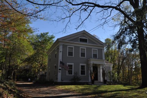
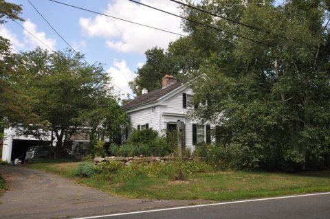
From Wikimedia Commons (4) and the National Register (2). Images are copied here with their credits and licenses, shown on each photo’s page. Refreshed monthly.