A history of Ward,
since 1860
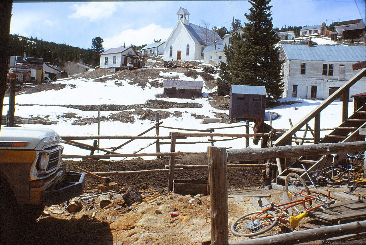
Postcards, papers and photographs of Ward from public archives, woven together by decade. Neighbors fill in the gaps.
The story
from WikipediaRead it all ↗The town was named for Calvin Ward, who prospected a claim in 1860 on the site known as Miser's Dream. The town boomed the following year with the discovery by Cyrus W. Deardorff of the Columbia vein. Over the next several decades the population fluctuated, growing from several hundred to several thousand before declining once again. The mines in the area remained profitable for many decades, with one mine eventually producing over 2 million troy ounces (62 t) of silver. A post office with the name Ward District was established January 13, 1863; the name was changed to Ward, September 11, 1894. The city was incorporated in June 1896. The railroad reached the area in 1898, arriving over the Whiplash and Switzerland Trail, which climbed over 4,000 feet (1,200 m) from Boulder over the course of 26 miles (42 km). In January 1900 over 50 buildings were destroyed by a devastating fire, altho…
Text from Wikipedia, licensed CC BY-SA 4.0.
Timeline
built from the dates on the items belowFinish Ward’s story
Most archives stop around 1920. The photos from after that are in family albums, not libraries.
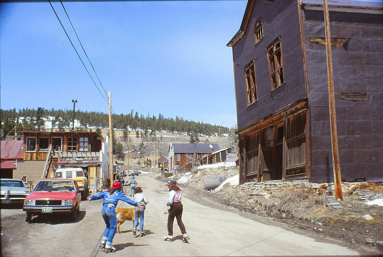
1 of 10 decades since 1900 have photos 🔁Retake an old viewFalling Down, 1983: stand where they stood+15 📦Share a family photoSign in to add one+10Ward, decade by decade
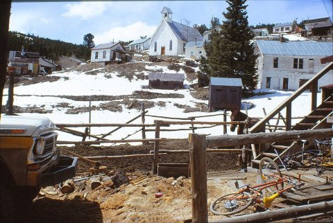
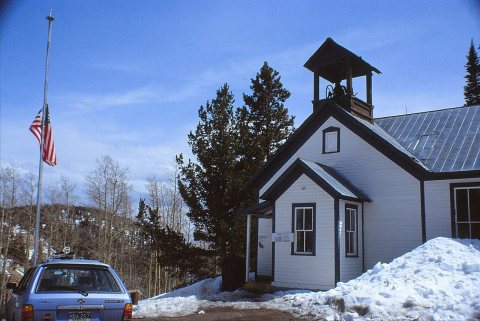
1990s
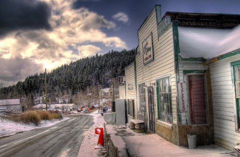
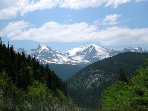
3 historic places in Ward
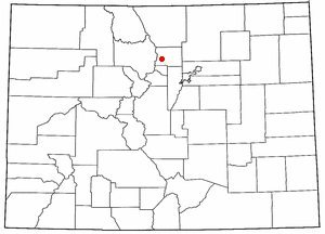
3 places in Ward are on the National Register of Historic Places, the country’s official list of buildings and places worth saving.
Where they are
When they were listed
Then & now
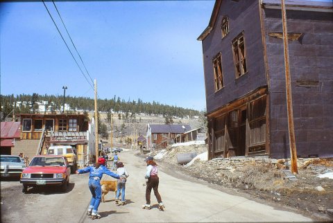
No then-and-now pairs yet. Take a photo from the same spot as Falling Down (1983) and it appears here side by side.
🔁 Retake this view · +15Stories next door
nearby towns’ historyFrom Wikimedia Commons (12). Images are copied here with their credits and licenses, shown on each photo’s page. Refreshed monthly.