A history of Fruita,
since 1884
Postcards, papers and photographs of Fruita from public archives, woven together by decade. Neighbors fill in the gaps.
The story
from WikipediaRead it all ↗The original town site was planned for 80 acres (32 ha) with a park in the middle. The first water reached the town from the Colorado River in 1907. By 1909, the town center was linked with electricity. In the 1930s, Fruita participated in several government projects, including the Grand Valley Resettlement Project (later Western Slope Farms). Settled in groups of two or three families per area, 34 families were relocated by 1937. Later, the Rural Electrification Project brought electricity to around 800 or 900 farms. Fruita also had a Civilian Conservation Corps, several Works Progress Administration projects including the town library (now the Chamber of Commerce), a federal loan for the new central school (now the Civic Center) and the construction of the Rim Rock Drive to the top of the Colorado National Monument, elevation 8,000 feet (2,400 m).
Text from Wikipedia, licensed CC BY-SA 4.0.
Timeline
built from the dates on the items belowFinish Fruita’s story
Most archives stop around 1920. The photos from after that are in family albums, not libraries.
1 of 10 decades since 1900 have photos 🔁Retake an old viewFruita Co Colorado R Horse M PICT…, 1994: stand where they stood+15 📦Share a family photoSign in to add one+10Famous people from Fruita
See all 4 →
Fruita, decade by decade
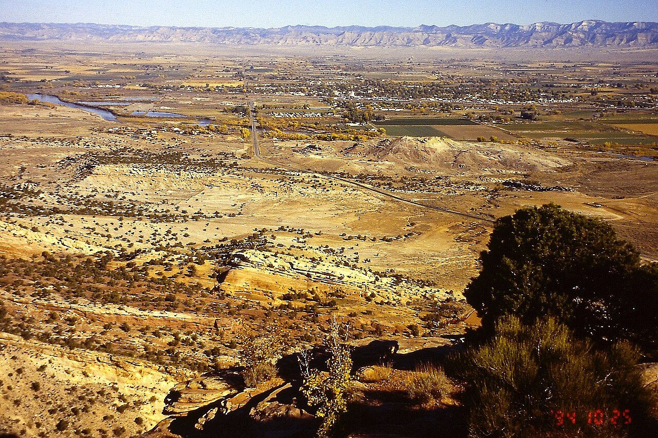
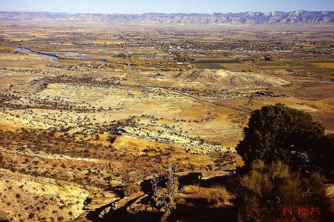 CommonsFruita Co Colorado R Horse M PICT00531994
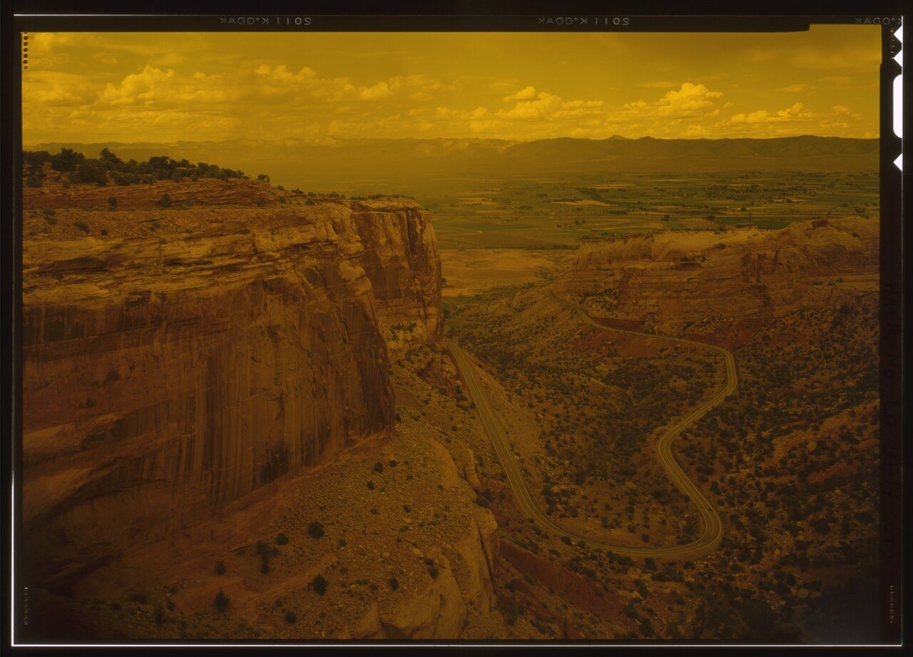
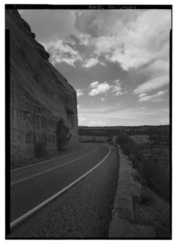 CommonsROAD VIEW WITH ROCK CUT AND GUARD WALL. - Rim Rock Drive1994
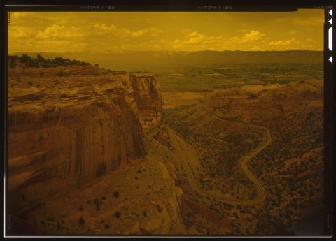 CommonsVIEW OF SWITCHBACKS FROM RIM ROAD. RIM ROAD CAN BE SEEN AT …1994
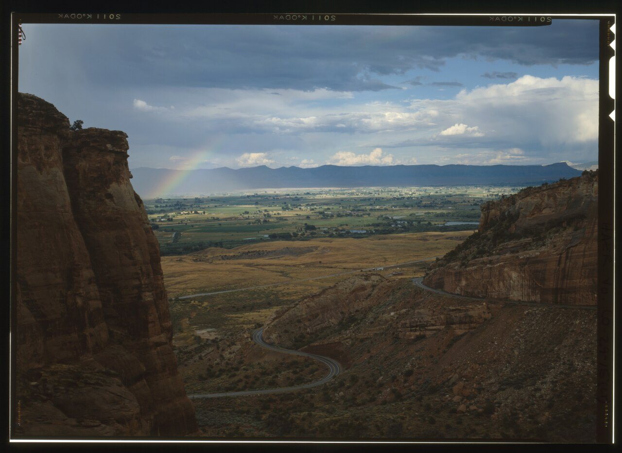
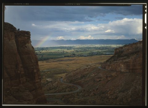 CommonsVIEW OF SWITCHBACKS TOWARD FRUITA - Rim Rock Drive1994
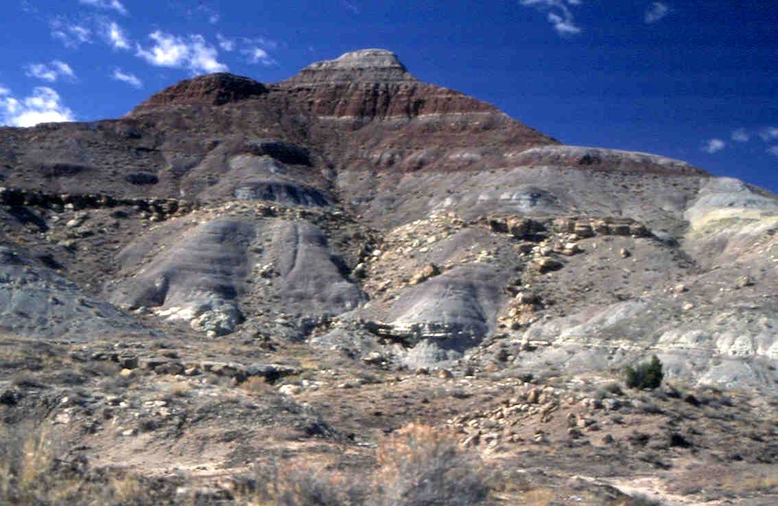
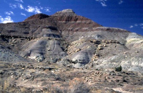 CommonsDinosaur Diamond Prehistoric Highway - Fruita Paleo Area1995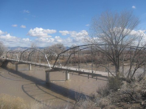
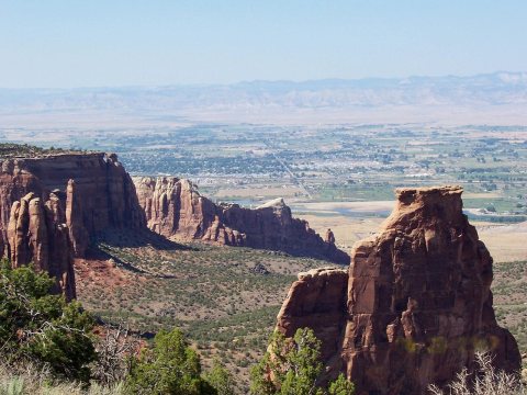
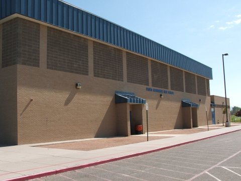
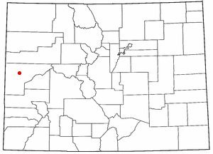
3 historic places in Fruita
3 places in Fruita are on the National Register of Historic Places, the country’s official list of buildings and places worth saving.
Where they are
When they were listed


Then & now
When neighbors add old photos, retakes from the same spot appear here side by side.
Stories next door
nearby towns’ historyFrom Wikimedia Commons (11) and the National Register (1). Images are copied here with their credits and licenses, shown on each photo’s page. Refreshed monthly.