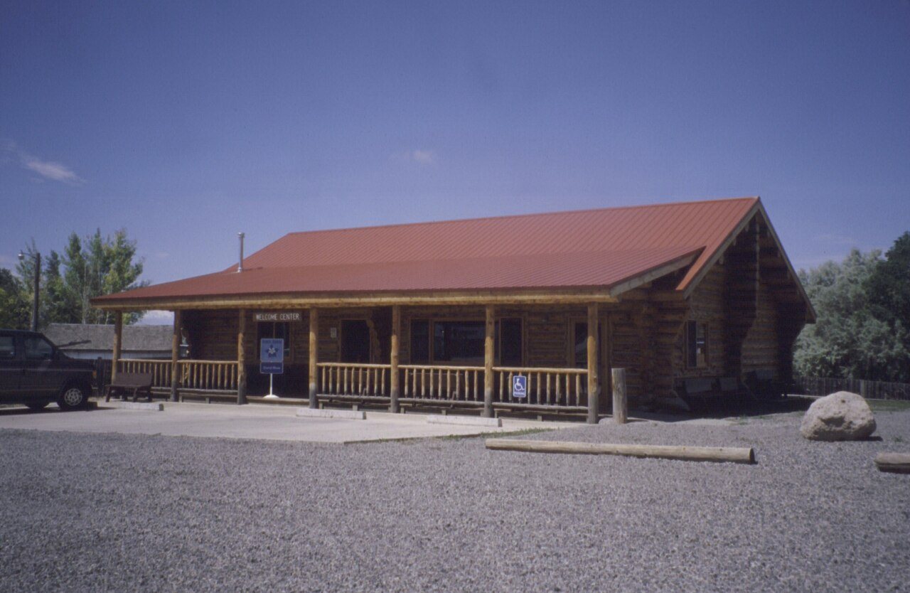
Cedaredge’s history is
mostly unwritten
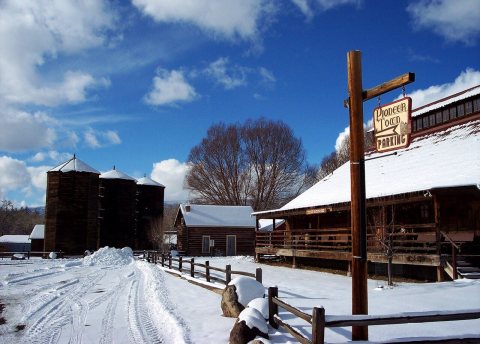
The public archives hold just one old photo of Cedaredge. The rest are in attics, shoeboxes and the historical society. Help start the collection.
The story
from WikipediaRead it all ↗Up until 1880 much of central and western Colorado was inhabited by the Ute Indians. Under the Act of June 15, 1880, the Utes ceded a large portion of their land to the United States, including the Surface Creek Valley. On September 1, 1881, the last band of Utes made their exodus from western Colorado to the northeastern part of Utah under escort of troops from Fort Crawford. Settlers soon began arriving, building homesteads, barns, businesses, and ranches. Much of the land was carved up into cattle ranches, fruit orchards, and fields of alfalfa and grass, but the most successful business is cattle ranching to the west of the town.
Text from Wikipedia, licensed CC BY-SA 4.0.
Start Cedaredge’s collection
The first neighbors to add old photos shape how Cedaredge’s history is told.
1 of 10 decades since 1900 have photos 🔁Retake an old viewGrand Mesa Scenic and Historic By…, 1995: stand where they stood+15 📦Share a family photoSign in to add one+10Famous people from Cedaredge
See all 1 →Cedaredge, decade by decade
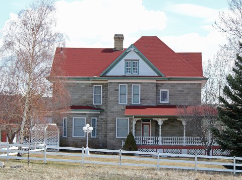
2 historic places in Cedaredge
2 places in Cedaredge are on the National Register of Historic Places, the country’s official list of buildings and places worth saving.
Where they are
When they were listed
Then & now
When neighbors add old photos, retakes from the same spot appear here side by side.
Stories next door
nearby towns’ historyFrom Wikimedia Commons (5) and the National Register (1). Images are copied here with their credits and licenses, shown on each photo’s page. Refreshed monthly.