The story
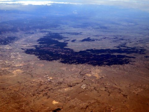
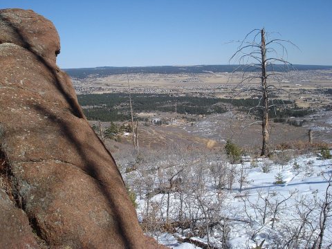
from WikipediaRead it all ↗The history of the Black Forest area is closely paralleled by that of a larger area traditionally known as the "Pineries". The area originally extended from what is now known as the town of Monument, Colorado, through the present planning area and east along the Platte-Arkansas Divide to a point where the Ponderosa Pines thinned out. Altogether the Pineries encompassed a 1,000 square mile area. Although the origin of the name is not clear, that portion of the Pineries north of Colorado Springs became known as the "Black Forest" by around the turn of the century.
Text from Wikipedia, licensed CC BY-SA 4.0.
Start Black Forest’s collection
The first neighbors to add old photos shape how Black Forest’s history is told.
0 of 10 decades since 1900 have photos 📦Share a family photoSign in to add one+10Famous people from Black Forest
See all 1 →Black Forest, decade by decade
2000
4 historic places in Black Forest
4 places in Black Forest are on the National Register of Historic Places, the country’s official list of buildings and places worth saving.
Where they are
When they were listed
 Listed 2004J.G. Evans Barn
 Listed 2008Ponderosa Lodge (Additional Documentation)Listed 1992Black Forest SchoolListed 1999Taylor Memorial Chapel
Then & now
When neighbors add old photos, retakes from the same spot appear here side by side.
Stories next door
nearby towns’ historyFrom Wikimedia Commons (2). Images are copied here with their credits and licenses, shown on each photo’s page. Refreshed monthly.