A history of Winters,
since 1898
Postcards, papers and photographs of Winters from public archives, woven together by decade. Neighbors fill in the gaps.
The story
from WikipediaRead it all ↗William Wolfskill, a Kentucky immigrant to Mexican Alta California, received a Mexican land grant for Rancho Rio de los Putos in 1842 from Governor Juan Bautista Alvarado. His brother, John Reid Wolfskill, started the agricultural development of the Sacramento Valley by planting orchards and vineyards on his lands. In 1849, William Wolfskill transferred half of Rancho Rio de los Putos to John Wolfskill, and transferred the rest to his brother in 1854.
The Winters post office was established in 1875. Winters incorporated in 1898. The name honors Theodore Winters, whose ranch provided half of the town's land.
Text from Wikipedia, licensed CC BY-SA 4.0.
Timeline
built from the dates on the items belowFinish Winters’s story
Most archives stop around 1920. The photos from after that are in family albums, not libraries.
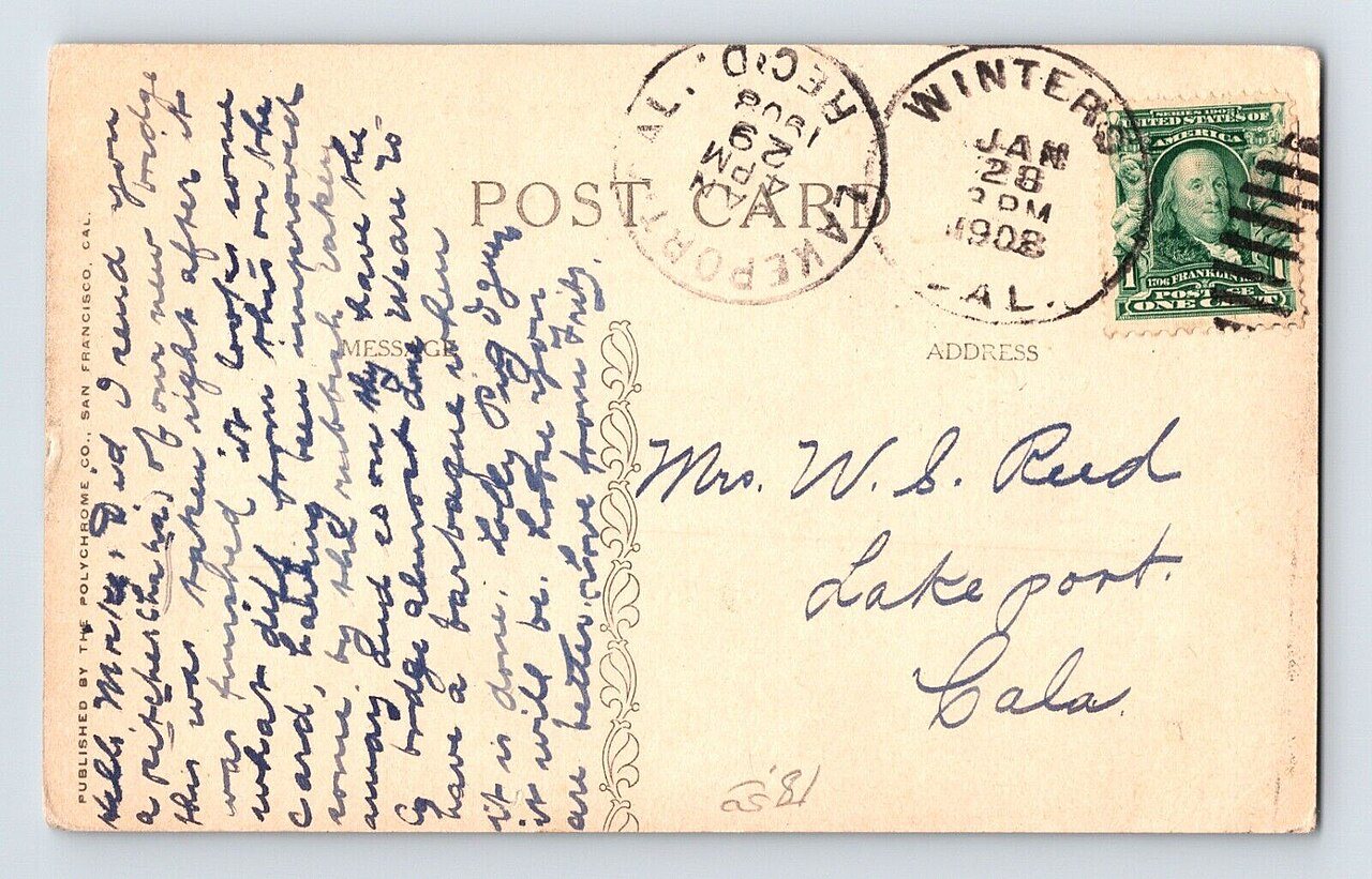
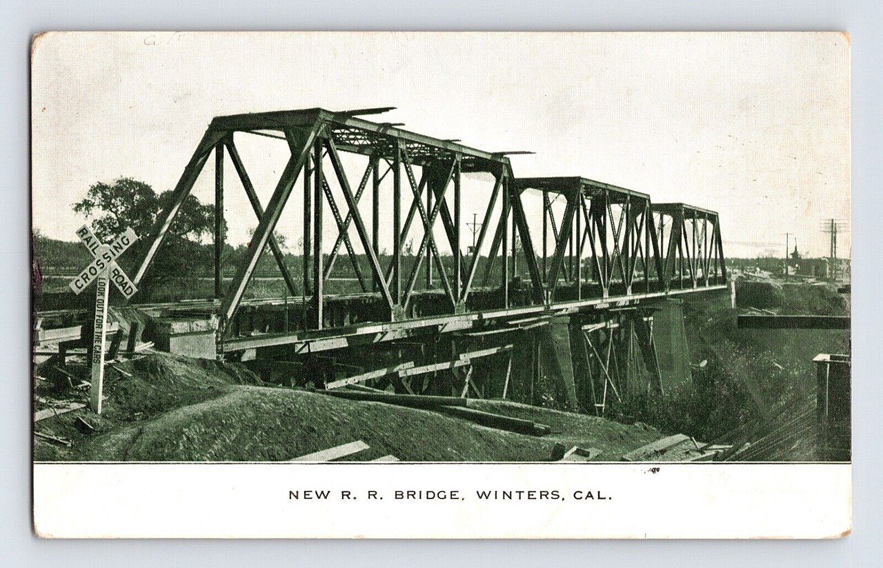
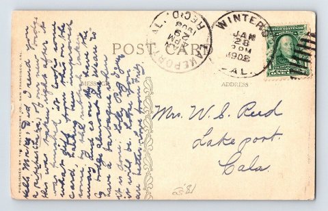
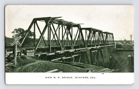
2 of 10 decades since 1900 have photos 🔁Retake an old viewThe Polychrome Co. - New R. R. Br…, c. 1908: stand where they stood+15 📦Share a family photoSign in to add one+10Winters, decade by decade
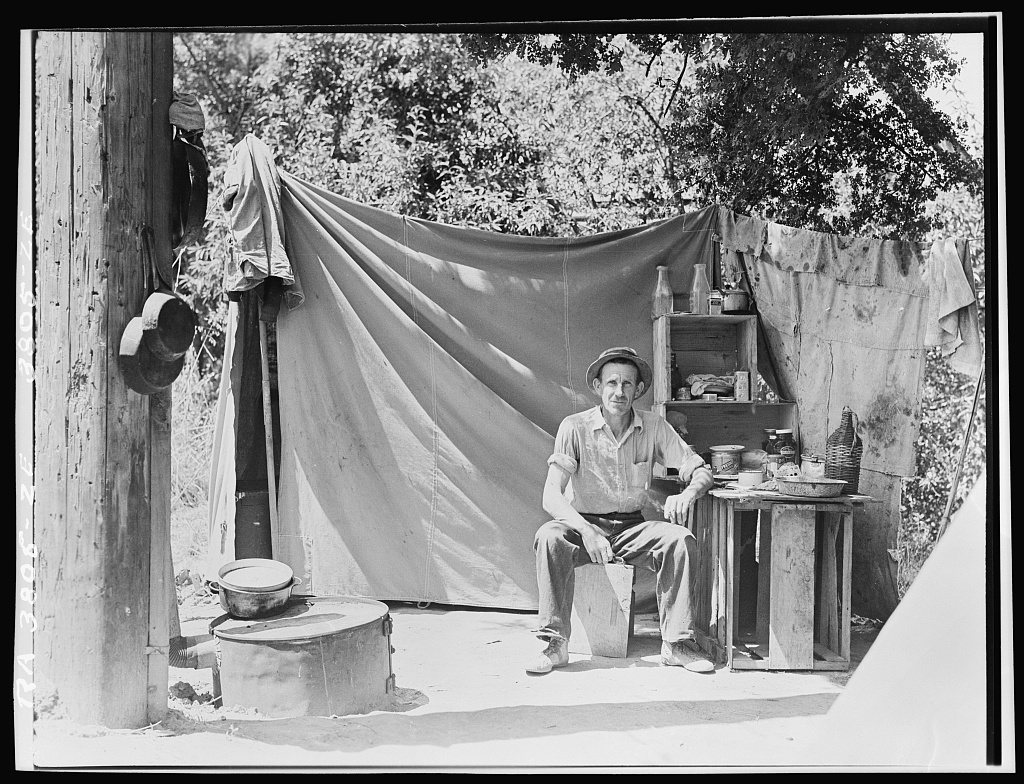
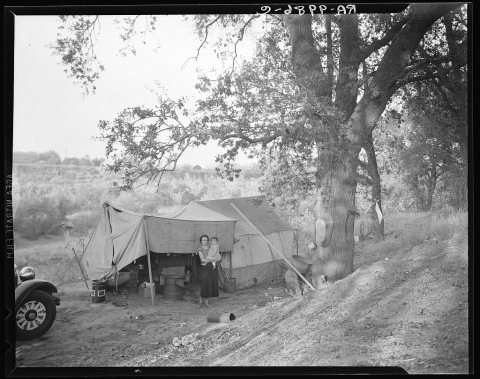
![Jack Neill, "migratory fruit tramp," on banks of Pulah [Putah] Creek near Winters, California. He owns one acre subsist…](https://images.towntapestry.org/story/1293/76942b1015a50d7c1c2f-s.jpg)
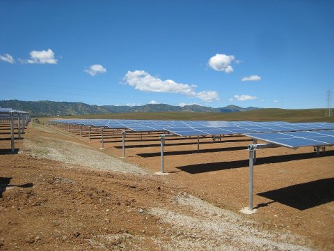
1990s
1 historic place in Winters
Winters has 1 listing on the National Register, and they protect 13 historic buildings, because Main Street Historic District-Winters alone counts 13.
Where they are
When they were listed
Then & now
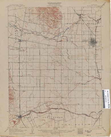
No then-and-now pairs yet. Take a photo from the same spot as Woodland Geological Survey (1907) and it appears here side by side.
🔁 Retake this view · +15Stories next door
nearby towns’ historyFrom Wikimedia Commons (4) and the Library of Congress (2). Images are copied here with their credits and licenses, shown on each photo’s page. Refreshed monthly.