Whittier’s history is
mostly unwritten
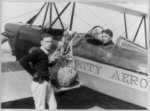
The public archives hold just one old photo of Whittier. The rest are in attics, shoeboxes and the historical society. Help start the collection.
The story
from WikipediaRead it all ↗Whittier's roots can be traced to Spanish soldier Manuel Nieto. In 1784, Nieto received a Spanish land grant of 300,000 acres (1,200 km2), Rancho Los Nietos, as a reward for his military service and to encourage settlement in California. The area of Nieto's land grant was reduced in 1790 as the result of a dispute with Mission San Gabriel. Nonetheless, Nieto still had a claim to 167,000 acres (680 km2) stretching from the hills north of Whittier, Fullerton, and Brea, south to the Pacific Ocean, and from what is known today as the Los Angeles River east to the Santa Ana River. Nieto built a rancho for his family near Whittier, purchased cattle and horses for his ranch, and planted cornfields. When he died in 1804, his children inherited his property.
Text from Wikipedia, licensed CC BY-SA 4.0.
Timeline
built from the dates on the items belowStart Whittier’s collection
The first neighbors to add old photos shape how Whittier’s history is told.
1 of 10 decades since 1900 have photos 🔁Retake an old viewNew invention for dropping airmai…, 1920: stand where they stood+15 📦Share a family photoSign in to add one+10Whittier, decade by decade
1990s
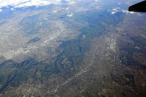
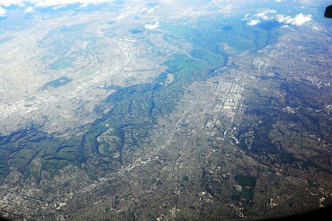
Then & now
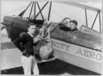
No then-and-now pairs yet. Take a photo from the same spot as New invention for dropping airmail sacks to earth from speeding plane (1920) and it appears here side by side.
🔁 Retake this view · +15Historic places
National Register · via Wikidata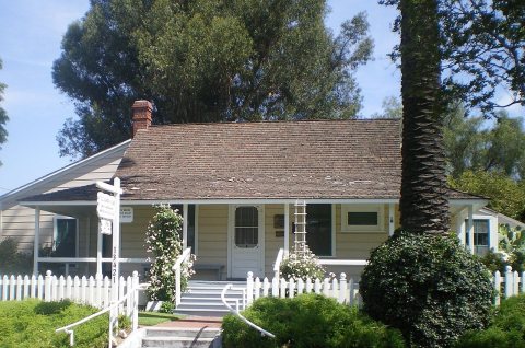
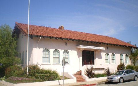
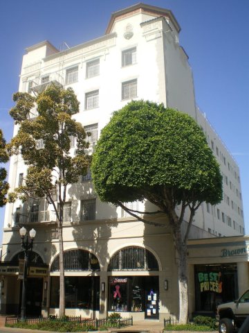
From Wikimedia Commons (2), the Library of Congress (1) and the National Register (3). Images are copied here with their credits and licenses, shown on each photo’s page. Refreshed monthly.