The story
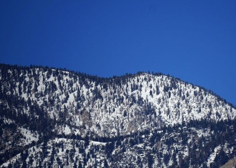
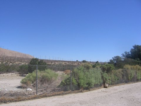
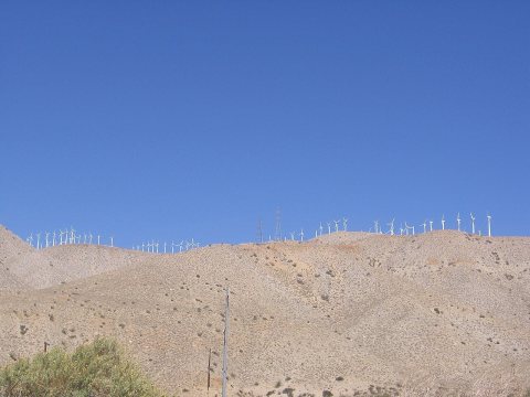
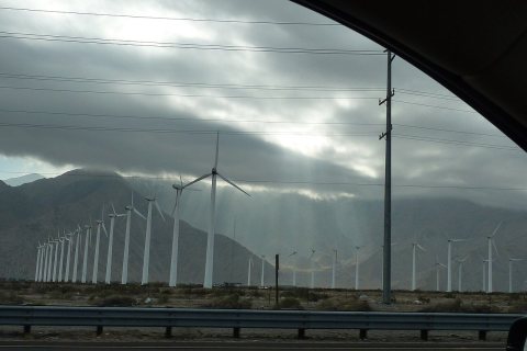
from WikipediaRead it all ↗Whitewater, still a populated place on the west bank of the Whitewater River, is located 10 miles (16 km) northwest of Palm Springs.33°54′52″N 116°42′38″W It began as rest and watering place for travelers on the Bradshaw Trail between San Bernardino and La Paz Arizona Territory in 1862. With the start of the Colorado River Gold Rush the trail was created to ship goods and allow people to cross the desert to the new boom towns on the Colorado River and the interior of Arizona Territory. Whitewater got its name from the White Water Station, a stagecoach station that was located there on the Bradshaw Trail. The settlement at White Water remained as a stop on the road into the Coachella Valley and to other desert regions to the east as it does today.
Text from Wikipedia, licensed CC BY-SA 4.0.
Start Whitewater’s collection
The first neighbors to add old photos shape how Whitewater’s history is told.
0 of 10 decades since 1900 have photos 📦Share a family photoSign in to add one+10Famous people close to Whitewater
See all 23 →



Whitewater, decade by decade
2000
Nothing in Whitewater is on the National Register yet
That’s true of most small towns. It doesn’t mean Whitewater has no history, only that no one has written up a nomination. The closest listed place is Palm Springs Tramway Valley Station in Palm Springs, 8 miles away.
Whitewater and the nearest listed places
Closest to Whitewater
How a place gets listed
Then & now
When neighbors add old photos, retakes from the same spot appear here side by side.
Stories next door
nearby towns’ historyFrom Wikimedia Commons (6). Images are copied here with their credits and licenses, shown on each photo’s page. Refreshed monthly.