Wheatland

What’s happening
Weather
Forecast →Upcoming events
Put the next local happening — a market, a meeting, a concert — on the map.
Local news
Headlines via Google News · Articles belong to their publishers.
The Wheatland album
Outdoors in Wheatland
Parks & trails →Know a trail or park that’s missing? Anyone can add it to OpenStreetMap, and it shows up here on the next refresh.
Trails & parks © OpenStreetMap contributors · Conserved land: USGS PAD-US
About Wheatland
City in California, United StatesWheatland is the second-largest city by population in Yuba County, California, United States. The population was 3,712 at the 2020 census, up from 3,456 at the 2010 census. Wheatland is located 12.5 miles (20 km) southeast of Marysville.
From Wikipedia, licensed CC BY-SA 4.0 · facts via Wikidata (CC0)
How Wheatland ranks
All →Town numbers
Housing in Wheatland
The typical Wheatland home is worth about $456,000, down 2.2% in a year, 40% below the California typical home.
A strong seller's market
Safety in Wheatland
Safety Grade A-
Wheatland reports less crime per resident than 84% of the U.S. towns and cities we grade.
Health in Wheatland
Health Grade B−
Healthier than 50% of U.S. towns on seven CDC estimates.
Compared with California
of 32 measures CDC estimates. The other 23 are too close to call.
What stands out
Care nearby
Schools in Wheatland
All Wheatland schools →School Grade B
The public schools Wheatland’s kids attend, from kindergarten through graduation, outperform 61% of California’s districts on state tests and graduation. Among towns with similar incomes, they sit near the middle.
School data from the U.S. Department of Education (NCES, EDFacts). The School Grade is our own summary of state test results and graduation rates, graded within CA. Ratings are from neighbors.
Where Wheatland is
Explore map →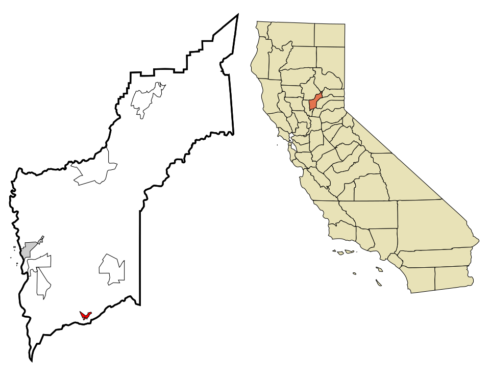

Location map