Thermal’s history is
mostly unwritten
The public archives hold just one old photo of Thermal. The rest are in attics, shoeboxes and the historical society. Help start the collection.
The story
from WikipediaRead it all ↗On December 30, 1823, Brevet Captain Jose Romero led a military expedition finding a route to Tucson from San Gabriel passes in the foothills west of Thermal and Martinez Indian Village (South of Thermal).
Thermal (originally Kokell) began as a railroad camp in 1910 for employees of the Southern Pacific Railroad, followed by Mecca (originally called Walters) in 1915 and Arabia in between, each with about 1,000 residents. Permanent dwellings were soon established on Avenue 56 (renamed Airport Boulevard), former U.S. Route 99 (State Route 86) and State Route 111 by the 1930s.
Text from Wikipedia, licensed CC BY-SA 4.0.
Timeline
built from the dates on the items belowStart Thermal’s collection
The first neighbors to add old photos shape how Thermal’s history is told.
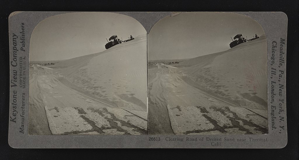
1 of 10 decades since 1900 have photos 🔁Retake an old viewClearing road of drifted sand nea…, 1926: stand where they stood+15 📦Share a family photoSign in to add one+10Famous people close to Thermal
See all 21 →


Thermal, decade by decade
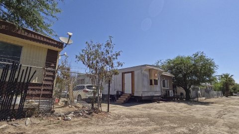
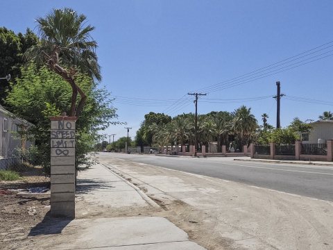
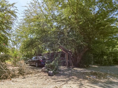
1990s

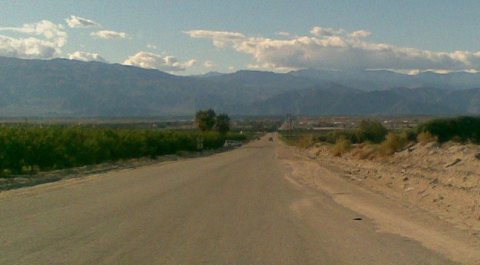
Nothing in Thermal is on the National Register yet
That’s true of most small towns. It doesn’t mean Thermal has no history, only that no one has written up a nomination. The closest listed place is Martinez Historical District in Oasis, 4.6 miles away.
Thermal and the nearest listed places


How a place gets listed
Then & now
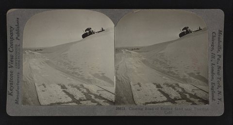
No then-and-now pairs yet. Take a photo from the same spot as Clearing road of drifted sand near Thermal, Calif (1926) and it appears here side by side.
🔁 Retake this view · +15Stories next door
nearby towns’ historyFrom Wikimedia Commons (5) and the Library of Congress (1). Images are copied here with their credits and licenses, shown on each photo’s page. Refreshed monthly.