A history of Santa Barbara,
since 1847
Postcards, papers and photographs of Santa Barbara from public archives, woven together by decade. Neighbors fill in the gaps.
The story
from WikipediaRead it all ↗Evidence of human habitation of the area begins at least 13,000 years ago. Evidence for a Paleoindian presence includes a fluted Clovis-like point found in the 1980s along the western Santa Barbara County coast, as well as the remains of Arlington Springs Man, found on Santa Rosa Island in the 1960s. At least 25,000 Chumash natives lived in the region prior to Spanish contact. Five Chumash villages flourished in the area. The present-day area of Santa Barbara City College was the village of Mispu; the site of the Los Baños pool (along west beach) was the village of Syukhtun, chief Yanonalit's large village located between Bath and Chapala streets; Amolomol was at the mouth of Mission Creek; and Swetete, above the bird refuge.
Text from Wikipedia, licensed CC BY-SA 4.0.
Timeline
built from the dates on the items belowFinish Santa Barbara’s story
Most archives stop around 1920. The photos from after that are in family albums, not libraries.
0 of 10 decades since 1900 have photos 🔁Retake an old viewMisc, 1855: stand where they stood+15 📦Share a family photoSign in to add one+10Famous people from Santa Barbara
See all 41 →
Santa Barbara, decade by decade
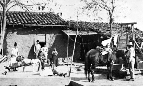
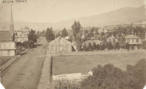
1990s
Then & now
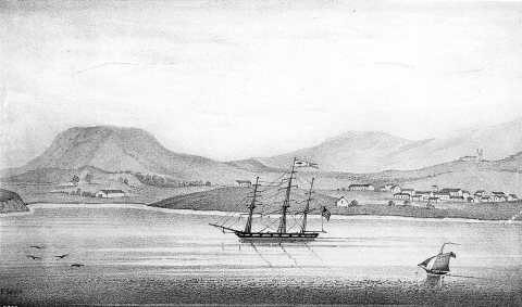
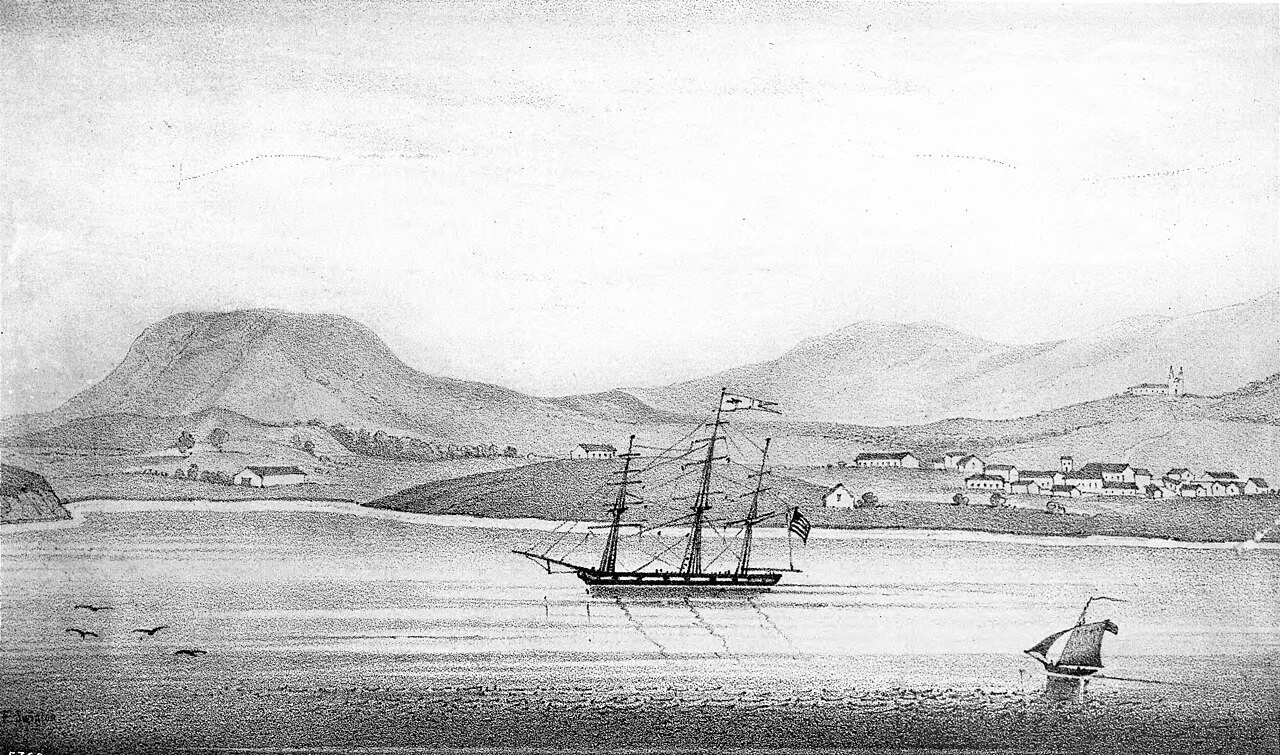
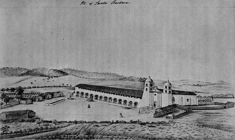
No then-and-now pairs yet. Take a photo from the same spot as Drawing of the presidio of early Santa Barbara, as seen in Alfred Robinson's "Life in California", ca.1839 (CHS-5760) (c. 1839) and it appears here side by side.
🔁 Retake this view · +15Historic places
National Register · via Wikidata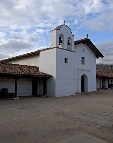
From Wikimedia Commons (5) and the National Register (1). Images are copied here with their credits and licenses, shown on each photo’s page. Refreshed monthly.