A history of San Simeon,
then and now
Postcards, papers and photographs of San Simeon from public archives, woven together by decade. Neighbors fill in the gaps.
The story
from WikipediaRead it all ↗Humans first settled the local area at least 11,000 years ago. Prehistorically, the local area was inhabited by the Chumash people, including a large village south of San Simeon at Morro Creek.
In 1542 the coastal exploration of Juan Cabrillo discovered the bay and named it the Bay of Sardines.
The first European land exploration of Alta California, the Spanish Portolà expedition, traveled northwest along the coast in September 1769. On September 11–12, the party passed the future location of San Simeon. At Ragged Point, which is about 15 mi (24 km) past San Simeon, the party turned inland across the Santa Lucia Range.
Text from Wikipedia, licensed CC BY-SA 4.0.
Timeline
built from the dates on the items belowFinish San Simeon’s story
Most archives stop around 1920. The photos from after that are in family albums, not libraries.
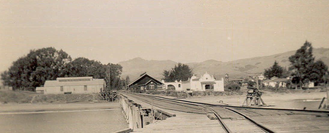
2 of 10 decades since 1900 have photos 🔁Retake an old viewHearst pier, 1890s: stand where they stood+15 📦Share a family photoSign in to add one+10San Simeon, decade by decade
1970s
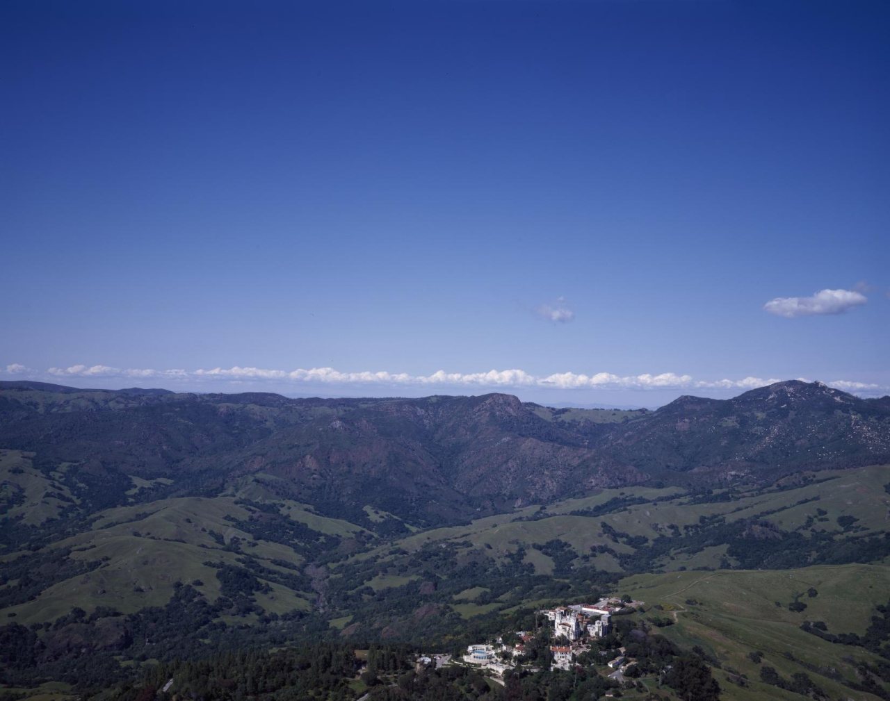
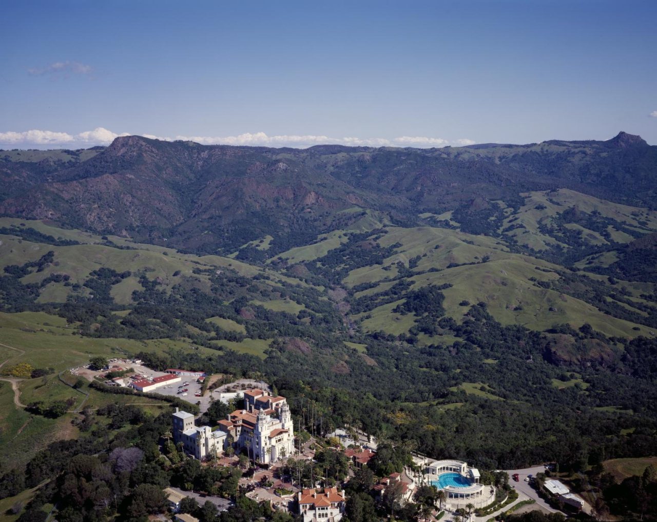
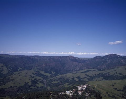 LOCAerial view of William Randolph Hearst's "Hearst Castle" an…1980
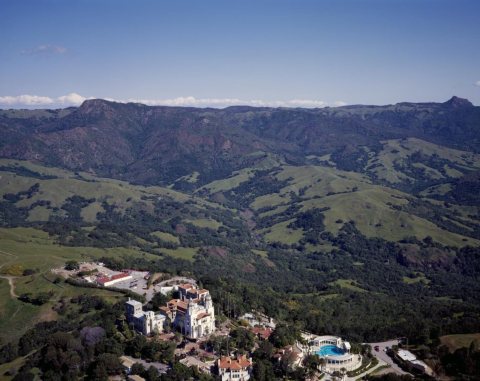 LOCAerial view of William Randolph Hearst's San Simeon estate …1980
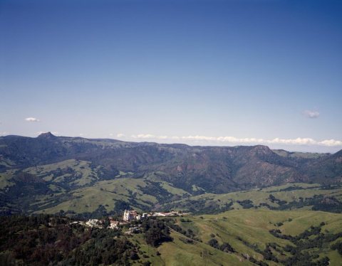 LOCAerial view of William Randolph Hearst's San Simeon estate …1980
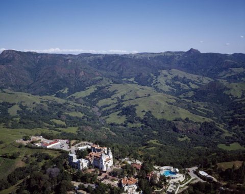 LOCAerial view of William Randolph Hearst's San Simeon estate …1980
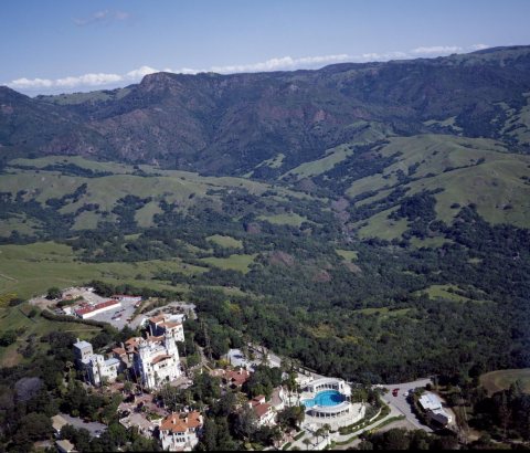 LOCAerial view of William Randolph Hearst's San Simeon estate …1980
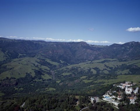 LOCAerial view of William Randolph Hearst's "Hearst Castle" an…1980
1990s
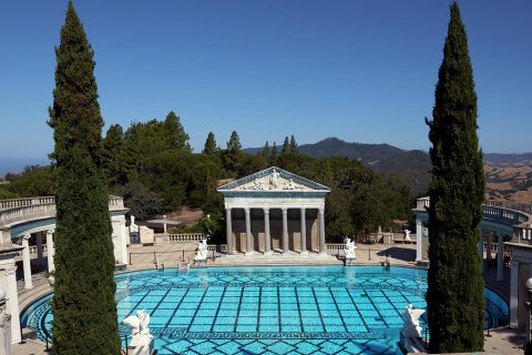 LOCThe Neptune Pool is an outdoor swimming pool ensemble at He…2013
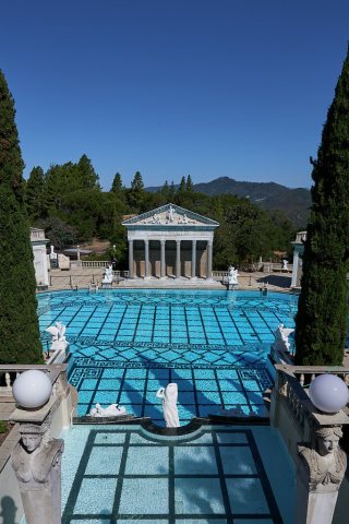 LOCThe Neptune Pool is an outdoor swimming pool ensemble at He…2013
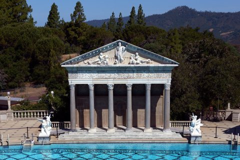 LOCThe Neptune Pool is an outdoor swimming pool ensemble at He…2013
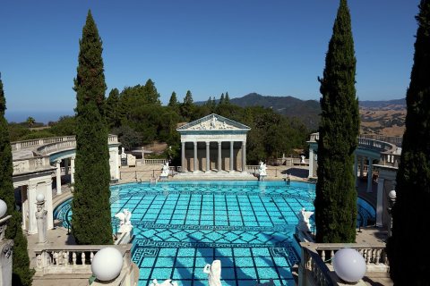 LOCThe Neptune Pool is an outdoor swimming pool ensemble at He…2013
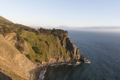 CommonsViews from Pacific Coast Highway, Scenic State Route 1, a m…2012
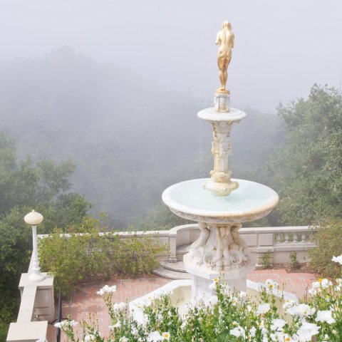 CommonsPacific overlook on a foggy morning2011
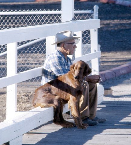 CommonsMan's Best Friend, San Simeon CA 19762011
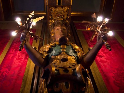 CommonsLight fixture2011
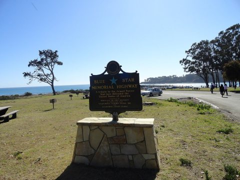 CommonsBlue Star Memorial Highway, California, USA2011
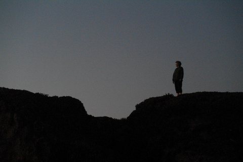 Commons41 SAM 28312010
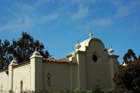 CommonsSpanish style Building in2009
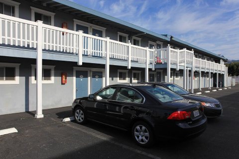 CommonsConvenient motel2009
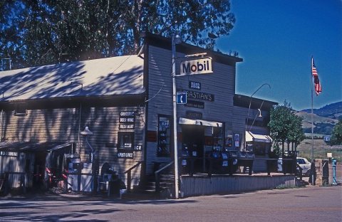 CommonsSEBASTIAN STORE, SAN LUIS OBISPO COUNTY, CA2008
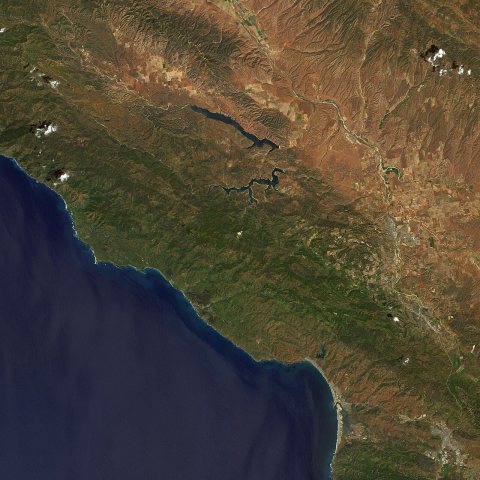 CommonsEarthquake near San Simeon, California (4088)2002
Nothing in San Simeon is on the National Register yet
That’s true of most small towns. It doesn’t mean San Simeon has no history, only that no one has written up a nomination. The closest listed place is Old Santa Rosa Catholic Church and Cemetery in Cambria, 4.8 miles away.
San Simeon and the nearest listed places


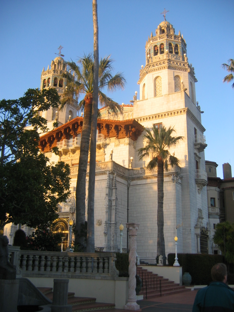

How a place gets listed
Then & now
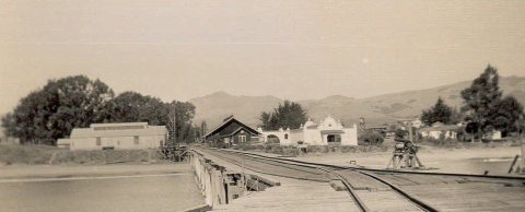
No then-and-now pairs yet. Take a photo from the same spot as Hearst pier (1890s) and it appears here side by side.
🔁 Retake this view · +15Stories next door
nearby towns’ historyFrom Wikimedia Commons (11), the Library of Congress (12) and the National Register (1). Images are copied here with their credits and licenses, shown on each photo’s page. Refreshed monthly.