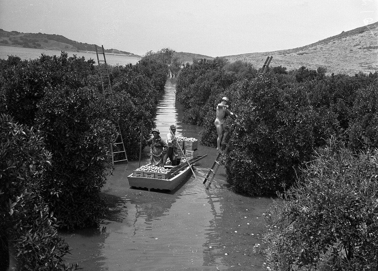
San Dimas’s history is
mostly unwritten
The public archives hold just one old photo of San Dimas. The rest are in attics, shoeboxes and the historical society. Help start the collection.
The story
from WikipediaRead it all ↗The first known European exploration of the area was in 1774, when Juan Bautista de Anza passed through on the first overland expedition of Las Californias, from New Spain-Mexico towards Monterey Bay. The area was originally developed in 1837 with the Mexican land grant from Governor Juan Bautista Alvarado to Ygnacio Palomares and Ricardo Vejar for the Rancho San Jose, then in Alta California. It later became known as La Cienega Mud Springs, so named because of local mud springs that created a riparian marsh and healing place. Palomares and Vejar conducted sheep and cattle operations on Rancho San Jose, also growing crops for consumption by the residents of the rancho. In the early 1860s, a severe drought decimated the ranch's population of sheep and cattle. Ygnacio Palomares died in 1864, and his widow began selling the ranch land in 1865. Vejar lost his share by foreclosure to tw…
Text from Wikipedia, licensed CC BY-SA 4.0.
Timeline
built from the dates on the items belowStart San Dimas’s collection
The first neighbors to add old photos shape how San Dimas’s history is told.
1 of 10 decades since 1900 have photos 🔁Retake an old viewOrange Harvest, 1941: stand where they stood+15 📦Share a family photoSign in to add one+10Famous people from San Dimas
See all 15 →


San Dimas, decade by decade
1990s


Then & now
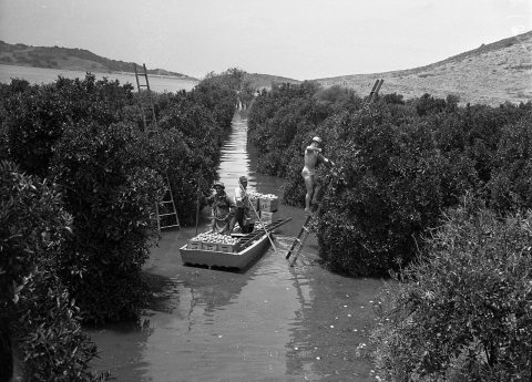
No then-and-now pairs yet. Take a photo from the same spot as Orange Harvest (1941) and it appears here side by side.
🔁 Retake this view · +15Stories next door
nearby towns’ historyFrom Wikimedia Commons (6). Images are copied here with their credits and licenses, shown on each photo’s page. Refreshed monthly.