The story
from WikipediaRead it all ↗Portola Valley was named for Spanish explorer Gaspar de Portolá, who led the first party of Europeans to explore the San Francisco Peninsula in 1769.
The Native Americans already present were Ohlone and specifically the group (or groups) known as Olpen or Guemelento but these were later moved to Mission Dolores and Mission Santa Clara de Asís which claimed the land and peoples.
The area's written history dates back to 1833, when a square league of land was given to Domingo Peralta and Máximo Martínez by Governor José Figueroa to form the Rancho Cañada del Corte de Madera. In those days it was used for lumbering and cattle grazing.
Text from Wikipedia, licensed CC BY-SA 4.0.
Start Portola Valley’s collection
The first neighbors to add old photos shape how Portola Valley’s history is told.
0 of 10 decades since 1900 have photos 📦Share a family photoSign in to add one+10Famous people from Portola Valley
See all 3 →Portola Valley, decade by decade
2000
Then & now
When neighbors add old photos, retakes from the same spot appear here side by side.
Historic places
National Register · via Wikidata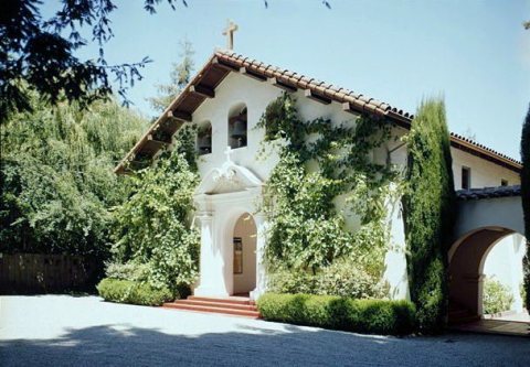
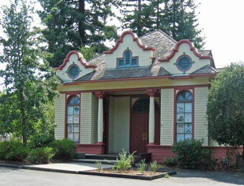
From Wikimedia Commons (6) and the National Register (2). Images are copied here with their credits and licenses, shown on each photo’s page. Refreshed monthly.