The story
from WikipediaRead it all ↗The town began as a real-estate-speculation in 1884. The investors Darwin C. Allen, and William B. Bradbury knew their project would succeed only if the town was connected to the mainline of the Southern Pacific. They contacted Frank M. Pixley; a man whom they knew was a friend of Leland Stanford. In 1886, Pixley joined with the original investors as a partner in the Pixley Townsite Company. The company purchased additional land in the vicinity. When The Southern Pacific extended its tracks to the Townsite, the town prospered. The terms of sale for the land was 25% down, the rest to be carried back for three years by the owners at 8 percent interest. The partners made a handsome profit.
Text from Wikipedia, licensed CC BY-SA 4.0.
Start Pixley’s collection
The first neighbors to add old photos shape how Pixley’s history is told.
0 of 10 decades since 1900 have photos 📦Share a family photoSign in to add one+10Pixley, decade by decade
2000
Then & now
When neighbors add old photos, retakes from the same spot appear here side by side.
Stories next door
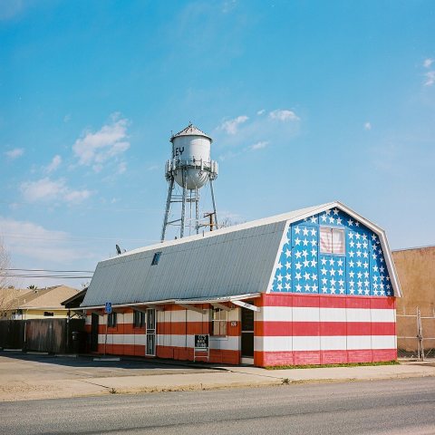
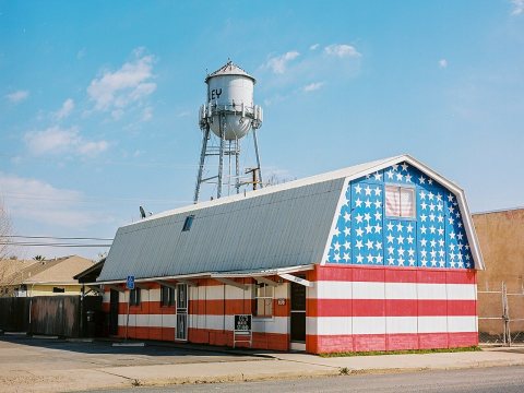
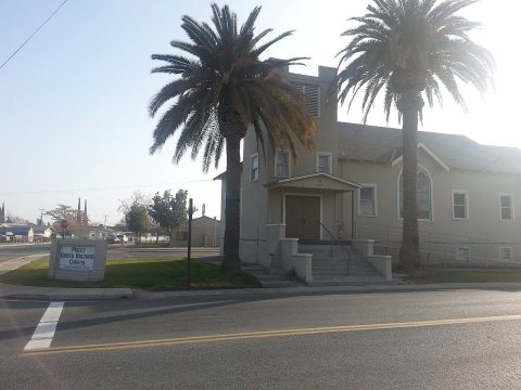
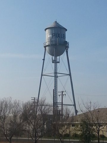
nearby towns’ historyFrom Wikimedia Commons (4). Images are copied here with their credits and licenses, shown on each photo’s page. Refreshed monthly.