Pico Rivera’s history is
mostly unwritten
The public archives hold only 2 old photos of Pico Rivera. The rest are in attics, shoeboxes and the historical society. Help start the collection.
The story
from WikipediaRead it all ↗Situated on a rich alluvial plain between the Rio Hondo and the San Gabriel River, Pico Rivera was originally two unincorporated agricultural communities: Pico (named for Pío Pico, the last Mexican governor of California and located in the northern portion of what is now Pico Rivera) and Rivera (the Spanish word for "riverbank", located in the southern portion). By the end of the 19th century, the Atchison, Topeka and Santa Fe Railway had been built through Rivera, while the Los Angeles and Salt Lake Railroad (later the Union Pacific) had been built through Pico. In 1902, they were joined by the Pacific Electric's Whittier Line through Rivera. The Los Nietos Townsite Company was established by J. Fletcher Isbell and William T. Bone in 1887, selling land that had once been part of Pio Pico's Rancho Paso de Bartolo. One of their first sales was to Joseph Burke, whose family cultivat…
Text from Wikipedia, licensed CC BY-SA 4.0.
Timeline
built from the dates on the items belowStart Pico Rivera’s collection
The first neighbors to add old photos shape how Pico Rivera’s history is told.
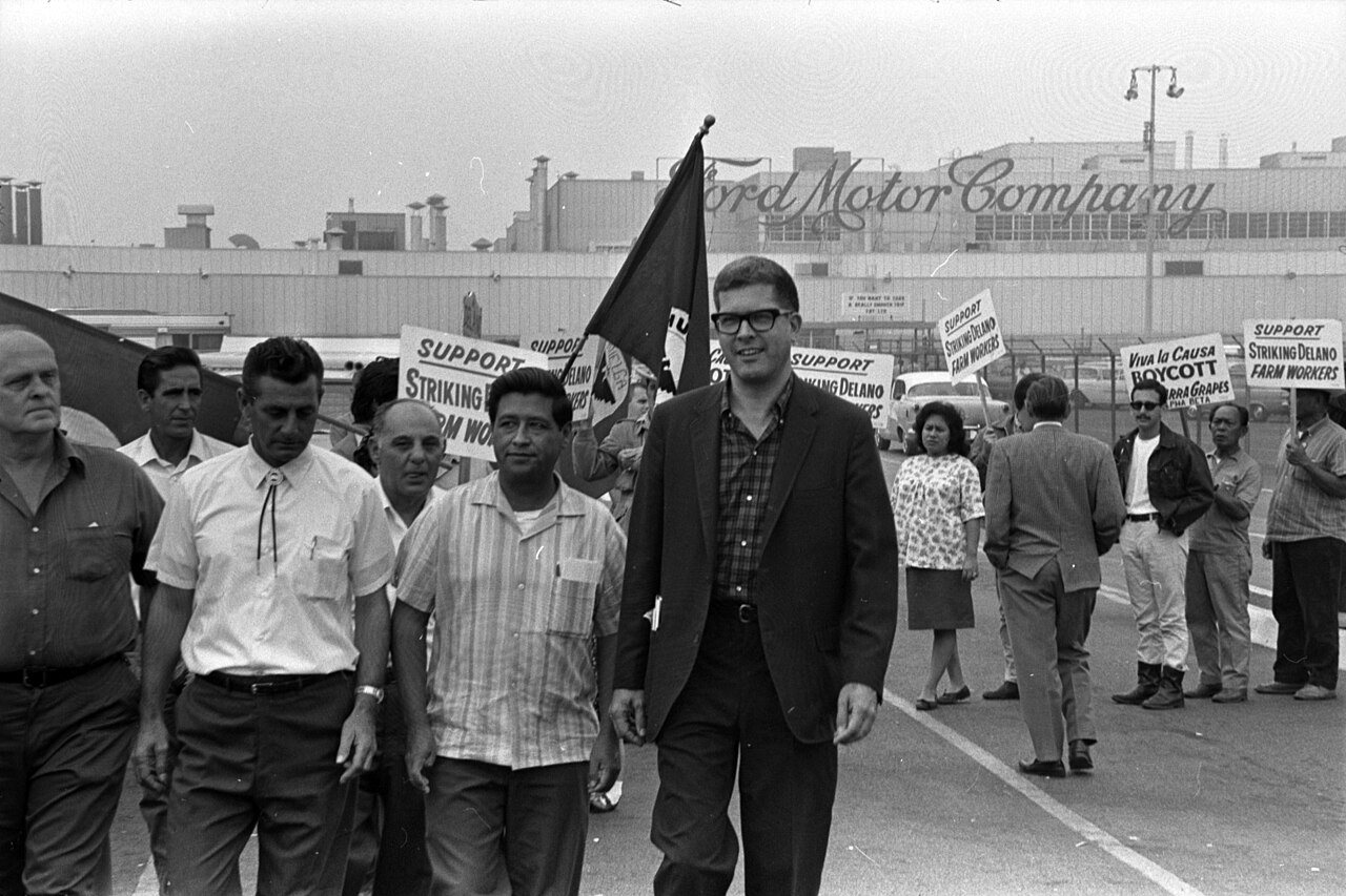
1 of 10 decades since 1900 have photos 🔁Retake an old viewCésar Chávez, Paul Schrade and ot…, 1967: stand where they stood+15 📦Share a family photoSign in to add one+10Famous people from Pico Rivera
See all 8 →

Pico Rivera, decade by decade

1990s
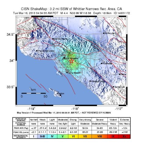
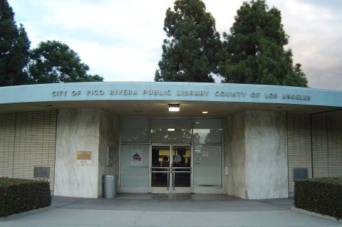
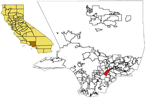
Then & now
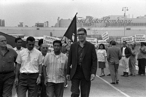
No then-and-now pairs yet. Take a photo from the same spot as César Chávez, Paul Schrade and other strikers picketing Ford Motor Co. plant at (1967) and it appears here side by side.
🔁 Retake this view · +15Stories next door
nearby towns’ historyFrom Wikimedia Commons (8). Images are copied here with their credits and licenses, shown on each photo’s page. Refreshed monthly.