The story
from WikipediaRead it all ↗Palos Verdes Estates was established as a planned community in 1923, with 3,200 acres (1,300 ha) carved out of the former Rancho de los Palos Verdes property of over 16,000 acres (6,500 ha). Frank A. Vanderlip established both a land syndicate holding the Palos Verdes Peninsula, and a real estate development trust for the Palos Verdes Estates subdivision. The Commonwealth Trust Company filed the Palos Verdes Protective Restrictions in Los Angeles County in 1923. These restrictions established rules for the developer and all land owners. The developer was required to set aside half of the land for common use, including roads and parks, but also to build bridle paths, a golf course, and retain several miles of coastline free of development. No less than ninety percent of the remaining land was required to be used for single-family homes.
Text from Wikipedia, licensed CC BY-SA 4.0.
Start Palos Verdes Estates’s collection
The first neighbors to add old photos shape how Palos Verdes Estates’s history is told.
0 of 10 decades since 1900 have photos 📦Share a family photoSign in to add one+10Palos Verdes Estates, decade by decade
2000
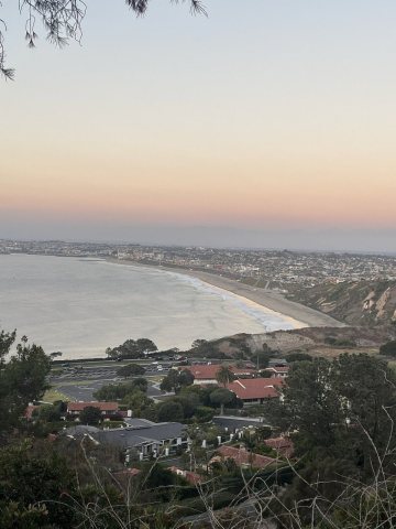 CommonsLower Malaga Cove and RAT Beach2023
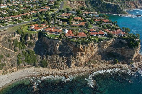 CommonsLunada bay coast2019
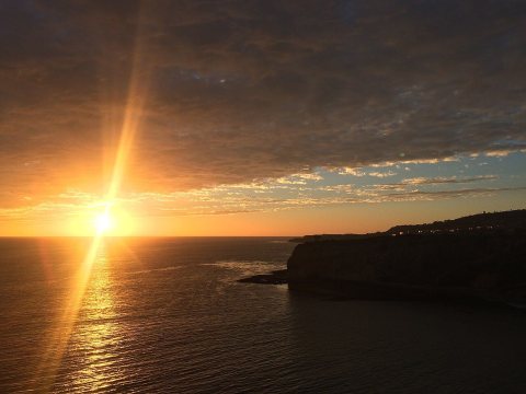 CommonsPalos Verdes2016
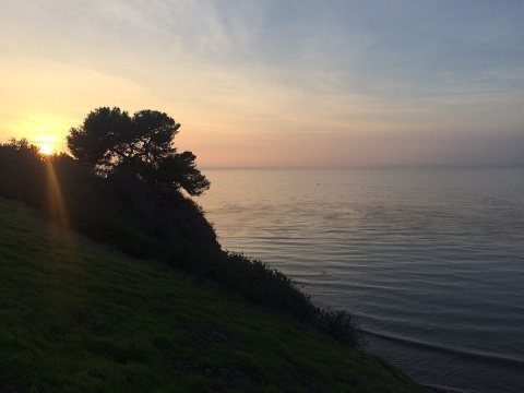 CommonsPalos Verdes2016
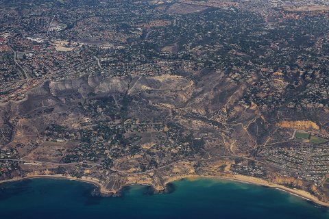 CommonsPortugese Bend Area on Palos Verde Peninsula - Aerial2015
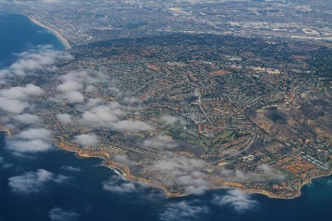 CommonsPalos Verde Peninsula - Aerial2015
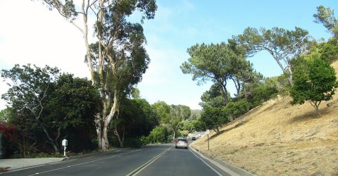 CommonsPalos Verdes Estates, California2011
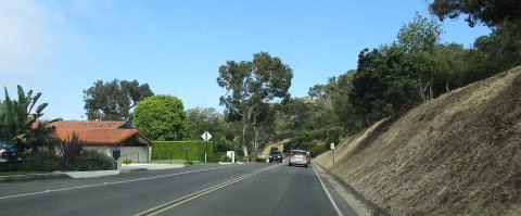 CommonsPalos Verdes Estates, California2011
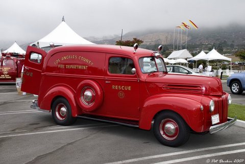 CommonsRed Ford Panel Truck2010
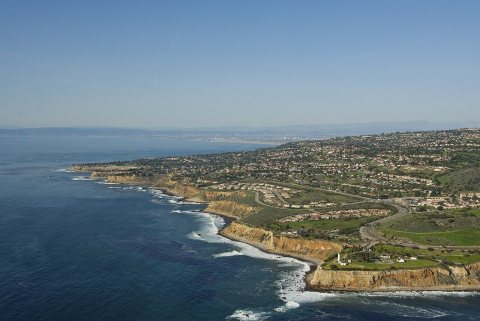 CommonsPalos Verdes2010
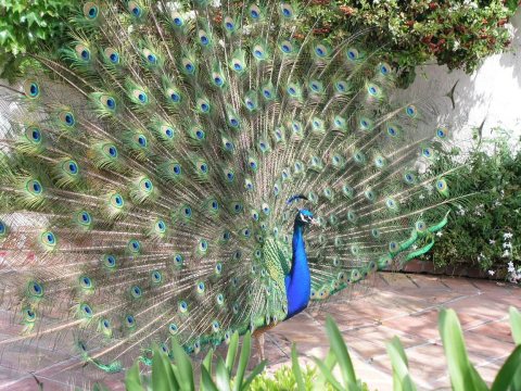 CommonsWild Peacock in California2006
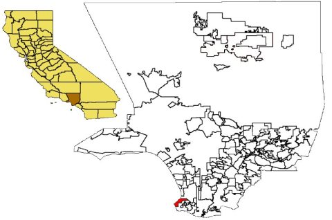 CommonsCAMap-doton-Palos Verdes Estates2006
Then & now
When neighbors add old photos, retakes from the same spot appear here side by side.
Stories next door
nearby towns’ historyFrom Wikimedia Commons (12). Images are copied here with their credits and licenses, shown on each photo’s page. Refreshed monthly.