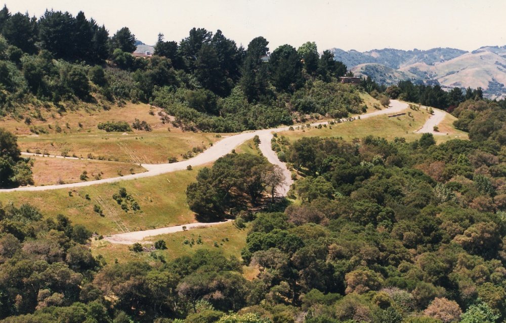
Orinda’s history is
mostly unwritten
The public archives hold just one old photo of Orinda. The rest are in attics, shoeboxes and the historical society. Help start the collection.
The story
from WikipediaRead it all ↗Orinda is located within four Mexican land grants: Rancho Laguna de los Palos Colorados, Rancho Acalanes, Rancho El Sobrante and Rancho Boca de la Cañada del Pinole. The area was originally rural, mainly known for ranching and summer cabins. The Moraga Adobe was built in 1841, and is the oldest building in the East Bay. In 1876, County Sheriff William Walker Camron bought a tract of land east of the Berkeley Hills. His wife, Alice Marsh Camron, loved the poetry of Katherine Philips, who was known as the "Matchless Orinda". Camron named his new tract of land "Orinda Park".
Text from Wikipedia, licensed CC BY-SA 4.0.
Timeline
built from the dates on the items belowStart Orinda’s collection
The first neighbors to add old photos shape how Orinda’s history is told.
1 of 10 decades since 1900 have photos 🔁Retake an old viewOrinda-california-alice-lane, c. 1987: stand where they stood+15 📦Share a family photoSign in to add one+10Famous people from Orinda
See all 11 →

Orinda, decade by decade
1990s

Then & now
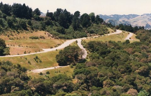
No then-and-now pairs yet. Take a photo from the same spot as Orinda-california-alice-lane (c. 1987) and it appears here side by side.
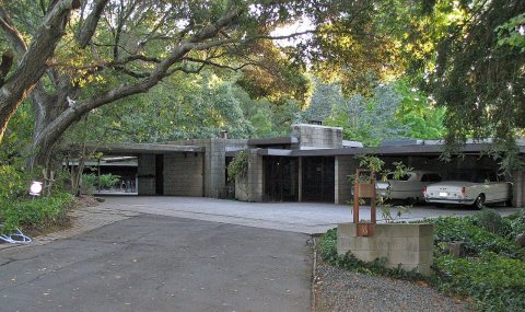
🔁 Retake this view · +15Historic places
National Register · via Wikidata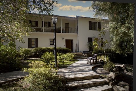
From Wikimedia Commons (5) and the National Register (1). Images are copied here with their credits and licenses, shown on each photo’s page. Refreshed monthly.