Monterey Park’s history is
mostly unwritten
The public archives hold just one old photo of Monterey Park. The rest are in attics, shoeboxes and the historical society. Help start the collection.
The story
from WikipediaRead it all ↗For at least seven thousand years the land was populated by the Tongva (Gabrielino) Native Americans. The Tongva lived in dome like structures with thatched exteriors, with an open smoke hole for ventilation and light at the top. Both sexes wore long hair styles and tattooed their bodies. During warm weather the men wore few clothes, and the women wore minimal skirts made of animal hides. During the cold weather they would wear animal skin capes and occasionally wore sandals made from hide or yucca fiber. With the arrival of the Spaniards, Old World diseases killed off many of the Tongva, and by 1870 very few Native-Americans had survived. In the early 19th century the area was part of the Mission San Gabriel Arcángel mission system and later the Rancho San Antonio.
Text from Wikipedia, licensed CC BY-SA 4.0.
Timeline
built from the dates on the items belowStart Monterey Park’s collection
The first neighbors to add old photos shape how Monterey Park’s history is told.
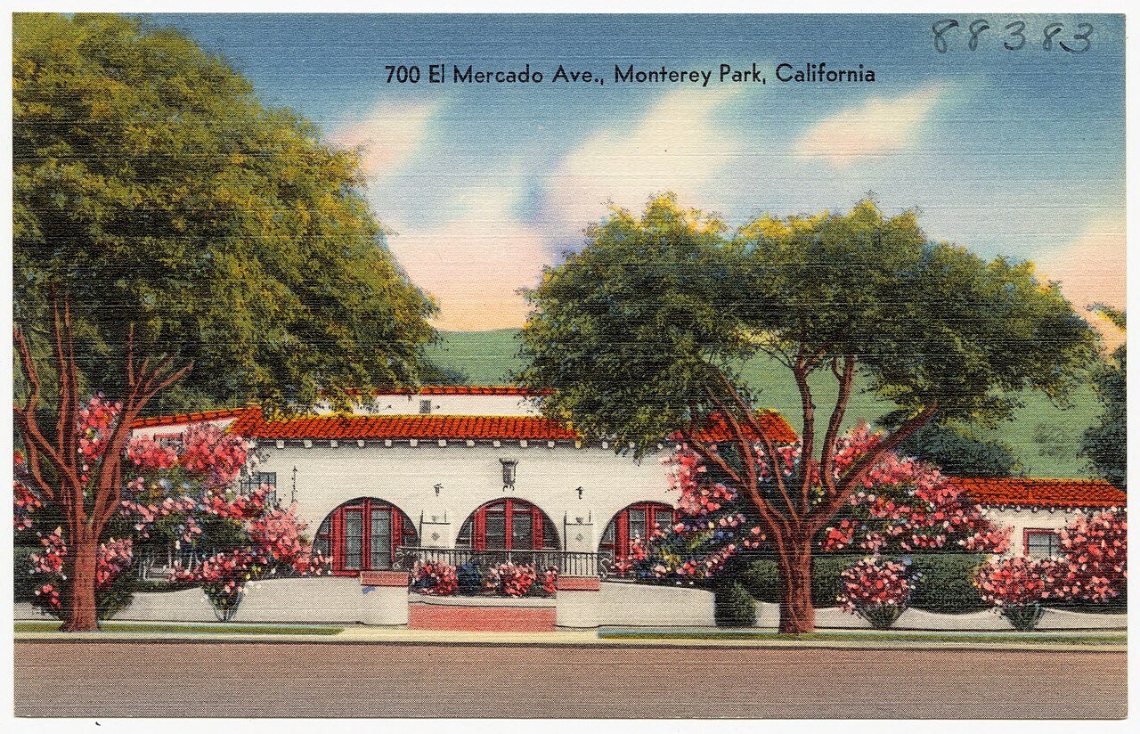
1 of 10 decades since 1900 have photos 🔁Retake an old view700 El Mercado Ave., Monterey Par…, c. 1930: stand where they stood+15 📦Share a family photoSign in to add one+10Famous people from Monterey Park
See all 23 →




Monterey Park, decade by decade
1990s
Then & now
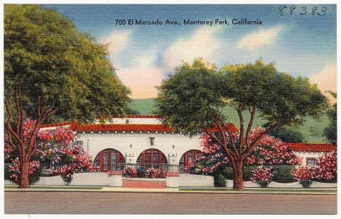
No then-and-now pairs yet. Take a photo from the same spot as 700 El Mercado Ave., Monterey Park, California (88383) (c. 1930) and it appears here side by side.
🔁 Retake this view · +15Stories next door
nearby towns’ historyFrom Wikimedia Commons (4). Images are copied here with their credits and licenses, shown on each photo’s page. Refreshed monthly.