The story
from WikipediaRead it all ↗The lush Alhambra Valley is believed to have been a seasonal “pantry” used for foraging by the local population of the Karkines Indians. The Karkines are a part of the Ohlone (Costanoan) Indian group.
In 1824, the western side of Martinez, Alhambra Valley was included in the Rancho El Pinole Mexican land grant to Ygnacio Martínez. East of these lands was the Rancho Las Juntas, a grant made to Irish born William Welch in 1844; his land lay between the lands of Martinez and Pacheco.
Text from Wikipedia, licensed CC BY-SA 4.0.
Start Martinez’s collection
The first neighbors to add old photos shape how Martinez’s history is told.
0 of 10 decades since 1900 have photos 📦Share a family photoSign in to add one+10Famous people from Martinez
See all 28 →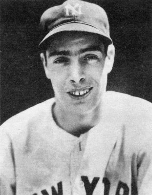




Martinez, decade by decade
2000
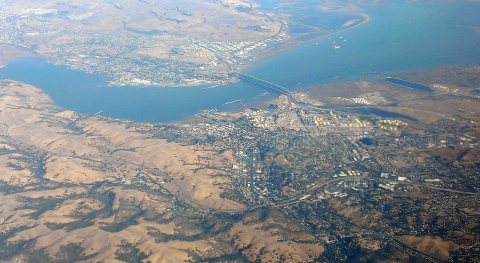 CommonsMartinez-aerial-view-32015
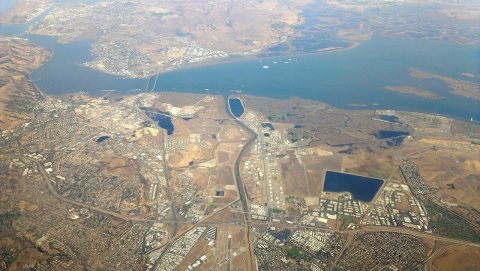 CommonsMartinez-aerial-view-22015
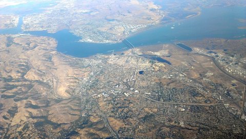 CommonsMartinez-aerial-view-12015
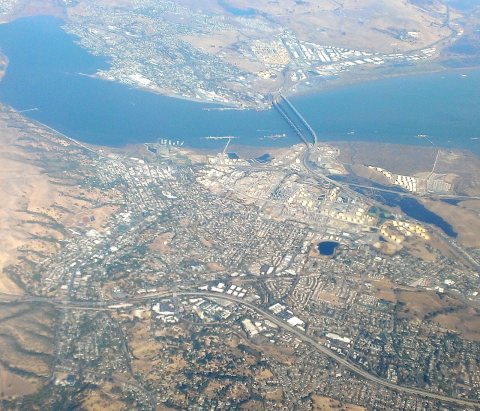 CommonsMartinez-aerial-view-1 (cropped)2015
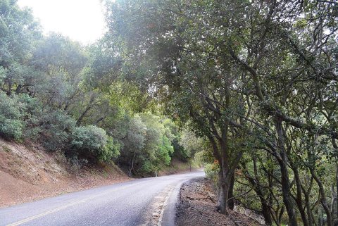 CommonsCarquinez Scenic Drive2014
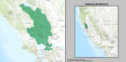 CommonsCalifornia US Congressional District 5 (since 2013)2014
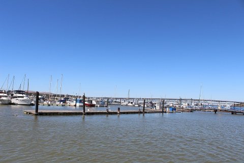 CommonsMartinez, CA USA ( Benicia - Martinez Bridge)2013
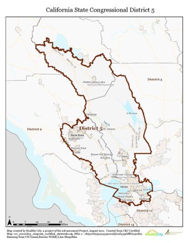 BookCA 5 certified2011
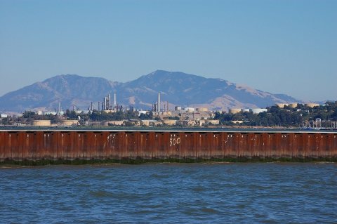 CommonsUSA-Martinez-View from Benicia2010
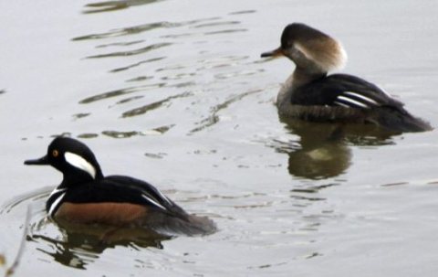 CommonsHooded Merganser at Martinez Beaver Dam Annabelle Lee 12-23…2010
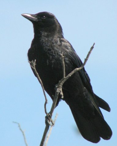 CommonsCorvus brachyrhynchos 1 (1)2008
Then & now
When neighbors add old photos, retakes from the same spot appear here side by side.
Historic places
National Register · via Wikidata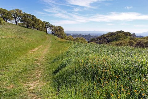
From Wikimedia Commons (11) and the National Register (1). Images are copied here with their credits and licenses, shown on each photo’s page. Refreshed monthly.