The story
from WikipediaRead it all ↗A group of members of The Church of Jesus Christ of Latter-day Saints, otherwise known as Mormons, arrived in the valley in 1851, making camp at the mouth of a canyon with a creek, which flowed
briskly southeast through the canyon to the valley and the Santa Ana River. Overjoyed with the abundance of
water, the dense growth of willows, cottonwoods and sycamores and the mustard and wild oats that grew on
the hillsides, the settlers of San Bernardino named the stream "Lytle Creek" after their leader, Captain Andrew Lytle. Lytle
Creek Canyon has been a site for gold mining, farming and recreation activities such as fishing, camping,
picnicking, and hiking. It has been considered a recreational area since the early 1870s.
Text from Wikipedia, licensed CC BY-SA 4.0.
Start Lytle Creek’s collection
The first neighbors to add old photos shape how Lytle Creek’s history is told.
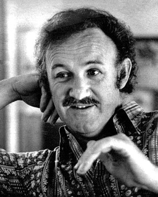
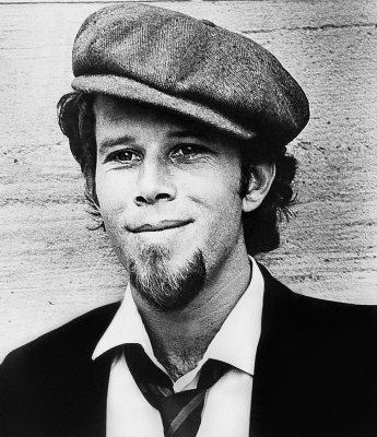
0 of 10 decades since 1900 have photos 📦Share a family photoSign in to add one+10Famous people close to Lytle Creek
See all 11 →


Lytle Creek, decade by decade
2000
Nothing in Lytle Creek is on the National Register yet
That’s true of most small towns. It doesn’t mean Lytle Creek has no history, only that no one has written up a nomination. The closest listed place is Pacific Electric Etiwanda Depot in Rancho Cucamonga, 8.6 miles away.
Lytle Creek and the nearest listed places
Closest to Lytle Creek
 Pacific Electric Etiwanda DepotRancho Cucamonga · Late 19th and 20th Century Revivals8.6mi
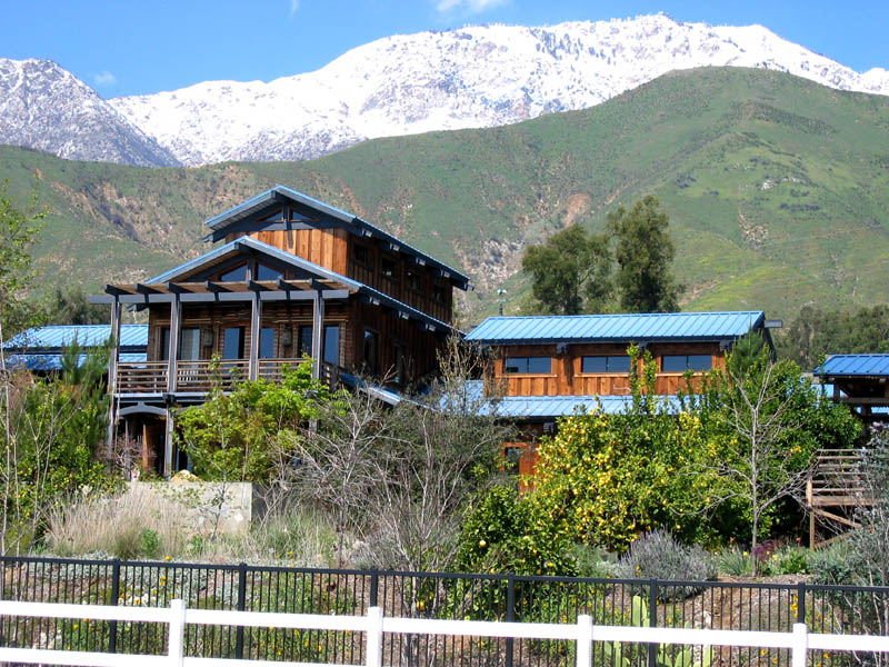 Maloof, Sam and Alfreda, CompoundRancho Cucamonga · Contemporary8.8mi
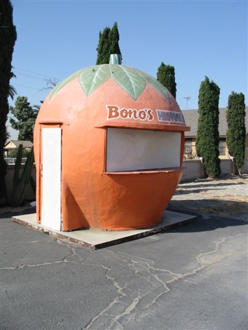 Bono's Restaurant and DeliFontana · Modern Movement10.1mi
 Euclid AvenueUpland · Structure10.9mi
 Cucamonga Service StationRancho Cucamonga · Building11.1mi
How a place gets listed
Then & now
When neighbors add old photos, retakes from the same spot appear here side by side.