Los Alamos’s history is
mostly unwritten
The public archives hold only 2 old photos of Los Alamos. The rest are in attics, shoeboxes and the historical society. Help start the collection.
The story
from WikipediaRead it all ↗In 1839, José Antonio de la Guerra, a son of José de la Guerra y Noriega received the Rancho Los Alamos Mexican land grant. The hills above Rancho Los Alamos served as a hideout for bandito Salomon Pico, whose escapades were popularized by the character "Zorro". During the U.S.'s centennial year of 1876, Thomas Bell along with his nephew John S. Bell, and Dr. James B. Shaw (all from San Francisco), purchased acreage from Rancho Los Alamos and neighboring Rancho La Laguna. Both families allocated a half square mile from each of their new ranches to create the Los Alamos town site with "Centennial Street" as the central thoroughfare.
Text from Wikipedia, licensed CC BY-SA 4.0.
Timeline
built from the dates on the items belowStart Los Alamos’s collection
The first neighbors to add old photos shape how Los Alamos’s history is told.
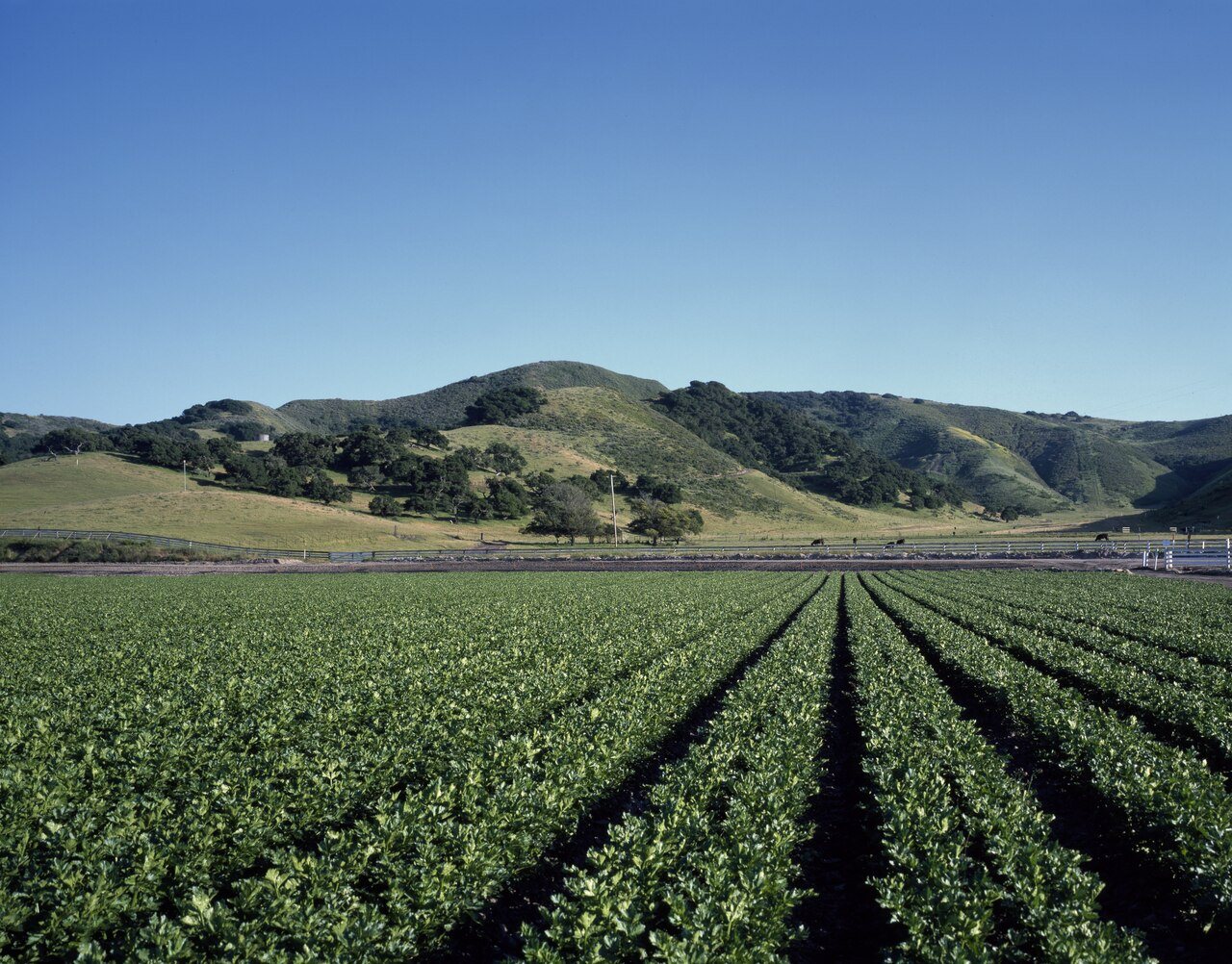
1 of 10 decades since 1900 have photos 🔁Retake an old viewCelery crop stretches far into th…, 1980: stand where they stood+15 📦Share a family photoSign in to add one+10Famous people from Los Alamos
See all 1 →Los Alamos, decade by decade
1990s
Nothing in Los Alamos is on the National Register yet
That’s true of most small towns. It doesn’t mean Los Alamos has no history, only that no one has written up a nomination. The closest listed place is Los Alamos Ranch House in Los Alamos, 3.6 miles away.
Los Alamos and the nearest listed places


How a place gets listed
Then & now
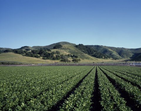
No then-and-now pairs yet. Take a photo from the same spot as Celery crop stretches far into the distance on the Central Coast (1980) and it appears here side by side.
🔁 Retake this view · +15Stories next door
nearby towns’ historyFrom Wikimedia Commons (5) and the Library of Congress (1). Images are copied here with their credits and licenses, shown on each photo’s page. Refreshed monthly.