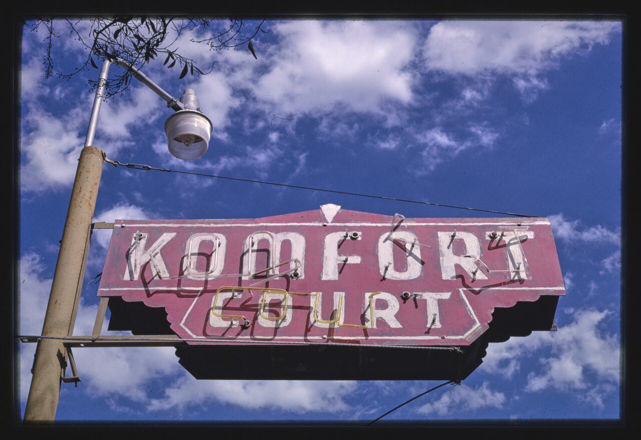
King’s history is
mostly unwritten
The public archives hold only 2 old photos of King. The rest are in attics, shoeboxes and the historical society. Help start the collection.
The story
from WikipediaRead it all ↗The first European land exploration of Alta California, Don Gaspar de Portolá's Spanish expedition, camped on the Salinas River just south of today's King City on September 26, 1769, having followed the route of today's Jolon Road from the south. The land they camped on would later become part of King City.
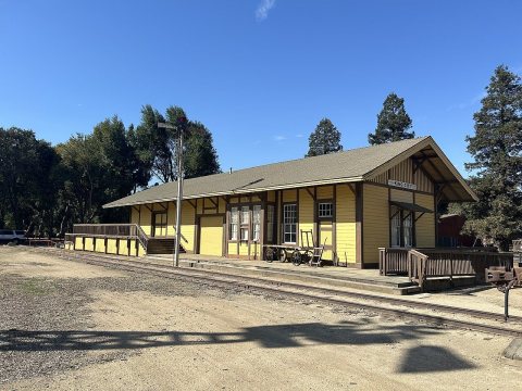
The Dutton Hotel, Stagecoach Station, was located on Jolon Road in King City. What remains are ruins of an adobe inn that was established in 1849. The Dutton Hotel was a major stagecoach stop on El Camino Real in the late 1880s. The landmark was listed on the National Register of Historic Places on October 14, 1971.
Text from Wikipedia, licensed CC BY-SA 4.0.
Timeline
built from the dates on the items belowStart King’s collection
The first neighbors to add old photos shape how King’s history is told.
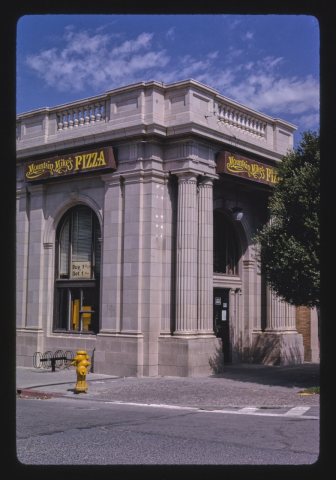
1 of 10 decades since 1900 have photos 🔁Retake an old viewBank, Mountain Mike's Pizza, Broa…, 1991: stand where they stood+15 📦Share a family photoSign in to add one+10Famous people from King
See all 5 →
King, decade by decade
1 historic place in King
1 place in King is on the National Register of Historic Places, the country’s official list of buildings and places worth saving.
Where they are
When they were listed
Then & now
When neighbors add old photos, retakes from the same spot appear here side by side.
Stories next door
nearby towns’ historyFrom Wikimedia Commons (8) and the National Register (2). Images are copied here with their credits and licenses, shown on each photo’s page. Refreshed monthly.