Firebaugh

What’s happening
Weather
Forecast →Upcoming events
Put the next local happening — a market, a meeting, a concert — on the map.
Local news
Headlines via Google News · Articles belong to their publishers.
The Firebaugh album
Outdoors in Firebaugh
Parks & trails →Trails & parks © OpenStreetMap contributors · Conserved land: USGS PAD-US
![California [Alameda County - Kern County (part)]](https://images.towntapestry.org/story/1332/899996940e7839c42bd0-l.jpg) 1940
1940
California [Alameda County - Kern County (part)], 1940
Photo · Wikimedia Commons
About Firebaugh
City in Fresno County, California, United StatesFirebaugh (FIRE-bah) is a city in Fresno County, California, United States, on the west side of the San Joaquin River 38 miles (61 km) west of Fresno. State Route 33 (SR 33) and the San Joaquin Valley Railroad, West Side Subdivision, pass through downtown. A small commercial district features the ubiquitous California Central Valley water tank painted with the city's name. Firebaugh lies at an elevation of 151 feet (46 m). The population was 8,096 at the 2020 census, up from 7,549 at the 2010 census. Firebaugh hosts an annual Cantaloupe Round-Up Festival in Dunkle Park. The event aims at celebrating the peak harvest of the melon in late July and is an economic boost for local businesses.
From Wikipedia, licensed CC BY-SA 4.0 · facts via Wikidata (CC0)
How Firebaugh ranks
All →Town numbers
Housing in Firebaugh
The typical Firebaugh home is worth about $340,000, up 3.2% in a year, 56% below the California typical home.
Only 3 sales in May 2026, too few for a market read. The typical value is the steadier guide.
Safety in Firebaugh
Safety Grade B
Firebaugh reports less crime per resident than 63% of the U.S. towns and cities we grade.
Work & commute in Firebaugh
Full picture →About one in 4 of Firebaugh’s working residents works in town. The top destinations are Fresno (15%), Mendota (4%) and Madera (3%). Half commute less than 29 miles.
Health in Firebaugh
Health Grade D−
Healthier than 1% of U.S. towns on seven CDC estimates.
Compared with California
of 32 measures CDC estimates. The other 7 are too close to call.
What stands out
Care nearby
Natural hazards in Firebaugh
Expected storm and flood damage is higher than in 84% of U.S. communities.
Climate in Firebaugh
Full climate →Firebaugh has mild winters and hot summers, with very little rain. A typical July afternoon reaches 95°, a January night drops to 40°, and snow is almost unheard of.
Schools in Firebaugh
All Firebaugh schools →School Grade C+
The public schools Firebaugh’s kids attend, from kindergarten through graduation, trail 58% of California’s districts on state tests and graduation. Among towns with similar incomes, they sit near the middle.
School data from the U.S. Department of Education (NCES, EDFacts). The School Grade is our own summary of state test results and graduation rates, graded within CA. Ratings are from neighbors.
Firebaugh’s library
Library details →Where Firebaugh is
Explore map →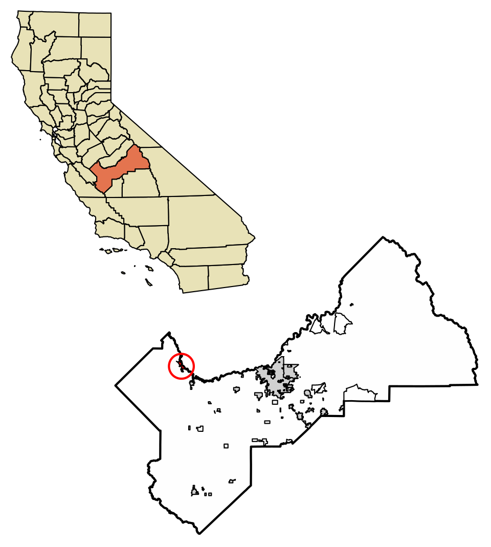

Location map