Fallbrook’s history is
mostly unwritten
The public archives hold only 2 old photos of Fallbrook. The rest are in attics, shoeboxes and the historical society. Help start the collection.
The story
from WikipediaRead it all ↗Fallbrook was first inhabited by the Payomkawichum people, later renamed Luiseños by the Spanish missionaries who arrived in the area in the late 18th century. Large village sites and oak groves were established by the Luiseños; one site became the area today known as Live Oak County Park.
The first permanent recorded settlement dates to the Mexican period in 1846, when Ysidro Alvarado received the Rancho Monserate grant from then-governor of Alta California, Pío Pico. The 13,323-acre grant stretched from the San Luis Rey River near Bonsall in the south to Stagecoach Lane and the Palomares house in the north, bounded by Mission Road on the west and Monserate Mountain on the east.
Text from Wikipedia, licensed CC BY-SA 4.0.
Timeline
built from the dates on the items belowStart Fallbrook’s collection
The first neighbors to add old photos shape how Fallbrook’s history is told.
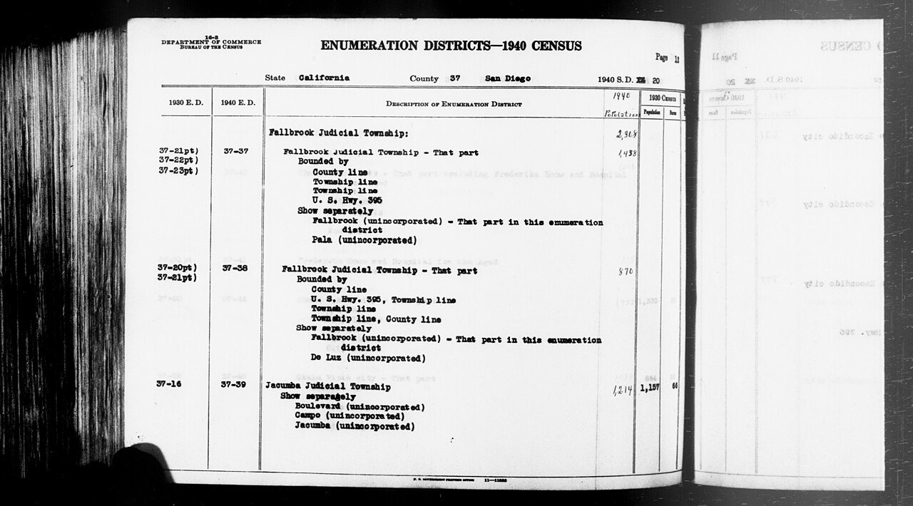
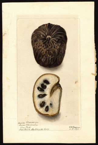
1 of 10 decades since 1900 have photos 🔁Retake an old view1940 Census Enumeration District …, 1850: stand where they stood+15 📦Share a family photoSign in to add one+10Fallbrook, decade by decade
1990s
Then & now
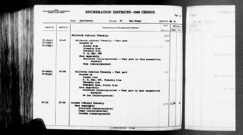
No then-and-now pairs yet. Take a photo from the same spot as 1940 Census Enumeration District Descriptions - California - San Diego County - ED 37-37, ED 37-38, ED 37-39 (1850) and it appears here side by side.
🔁 Retake this view · +15Stories next door
nearby towns’ historyFrom Wikimedia Commons (6). Images are copied here with their credits and licenses, shown on each photo’s page. Refreshed monthly.