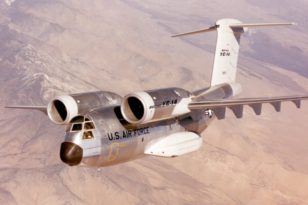
A history of Edwards AFB,
since 1933
Postcards, papers and photographs of Edwards AFB from public archives, woven together by decade. Neighbors fill in the gaps.
The story
from WikipediaRead it all ↗A water stop on the Santa Fe Railroad since 1882, the site was largely unsettled until the early 20th century. In 1910, Ralph, Clifford and Effie Corum built a homestead on the edge of Rogers Dry Lake. The Corums proved instrumental in attracting other settlers and building infrastructure in the area, and when a post office was commissioned for the area, they named it Muroc, a reversal of the Corum name, due to the presence of a town named Coram elsewhere in California.
Text from Wikipedia, licensed CC BY-SA 4.0.
Timeline
built from the dates on the items belowFinish Edwards AFB’s story
Most archives stop around 1920. The photos from after that are in family albums, not libraries.
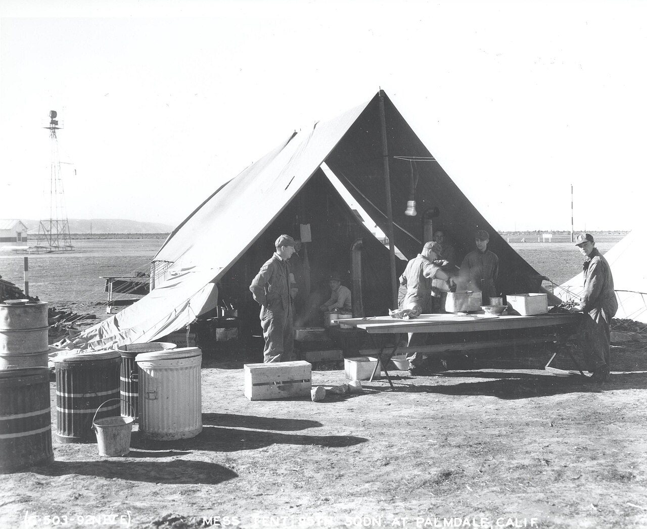
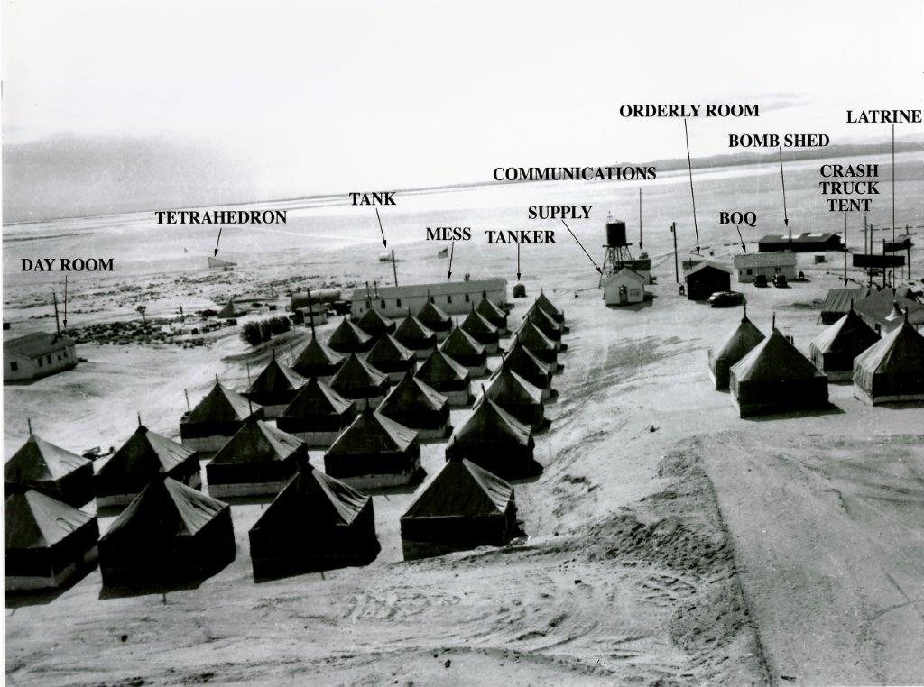
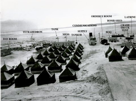
4 of 10 decades since 1900 have photos 🔁Retake an old viewTent cities built in te Muroc Gun…, 1940: stand where they stood+15 📦Share a family photoSign in to add one+10Famous people from Edwards AFB
See all 7 →



Edwards AFB, decade by decade

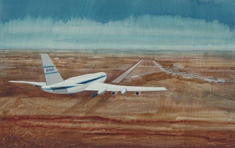
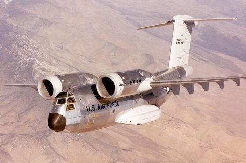
1990s
Nothing in Edwards AFB is on the National Register yet
That’s true of most small towns. It doesn’t mean Edwards AFB has no history, only that no one has written up a nomination. The closest listed place is Rogers Dry Lake in Edwards AFB, 6 miles away.
Edwards AFB and the nearest listed places


How a place gets listed
Then & now
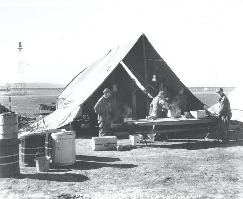
No then-and-now pairs yet. Take a photo from the same spot as Tent cities built in te Muroc Gunnery and Bombing Range (1940) and it appears here side by side.
🔁 Retake this view · +15Stories next door
nearby towns’ historyFrom Wikimedia Commons (6). Images are copied here with their credits and licenses, shown on each photo’s page. Refreshed monthly.