The story
from WikipediaRead it all ↗The Acjachemen village site of Toovannga was located near the present-day site of Dana Point Harbor. The village was located near the mouth of the San Juan Creek. The people lived in villages of around 250 people and stewarded the land into a thriving ecosystem. Each village was politically independent and established ties with other villages through marriage. The area of Dana Point is located downstream from the mother village of Putuidem.
Text from Wikipedia, licensed CC BY-SA 4.0.
Start Dana Point’s collection
The first neighbors to add old photos shape how Dana Point’s history is told.
0 of 10 decades since 1900 have photos 📦Share a family photoSign in to add one+10Famous people from Dana Point
See all 10 →



Dana Point, decade by decade
2000
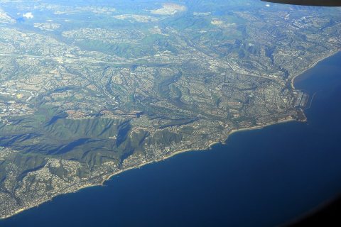
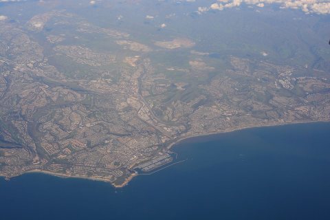
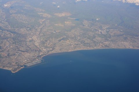
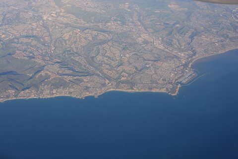
Then & now
When neighbors add old photos, retakes from the same spot appear here side by side.
Stories next door
nearby towns’ historyFrom Wikimedia Commons (4). Images are copied here with their credits and licenses, shown on each photo’s page. Refreshed monthly.