The story
from WikipediaRead it all ↗In the 19th century, Cupertino was a small rural village at the crossroads of Stevens Creek Road and Saratoga-Mountain View Road (also known locally as Highway 9; later Saratoga–Sunnyvale Road, and then renamed to De Anza Boulevard within Cupertino city limits). For decades, the intersection was dominated on the southeast corner by the R. Cali Brothers Feed Mill, which is replaced today with the Cali Mill Plaza and City Hall. Back then, it was known as the West Side and was part of Fremont Township. The primary economic activity was fruit agriculture. Almost all of the land within Cupertino's present-day boundaries was covered by prune, plum, apricot, and cherry orchards. A winery on Montebello Ridge overlooking the Cupertino valley region was also in operation by the late 19th century.
Text from Wikipedia, licensed CC BY-SA 4.0.
Start Cupertino’s collection
The first neighbors to add old photos shape how Cupertino’s history is told.
0 of 10 decades since 1900 have photos 📦Share a family photoSign in to add one+10Famous people from Cupertino
See all 16 →

Cupertino, decade by decade
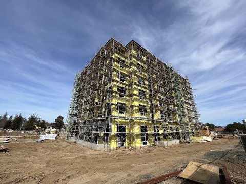
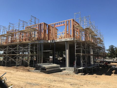
2000
Then & now
When neighbors add old photos, retakes from the same spot appear here side by side.
Historic places
National Register · via Wikidata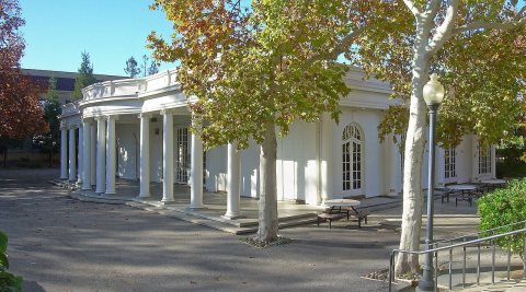
From Wikimedia Commons (4) and the National Register (1). Images are copied here with their credits and licenses, shown on each photo’s page. Refreshed monthly.