Corona’s history is
mostly unwritten
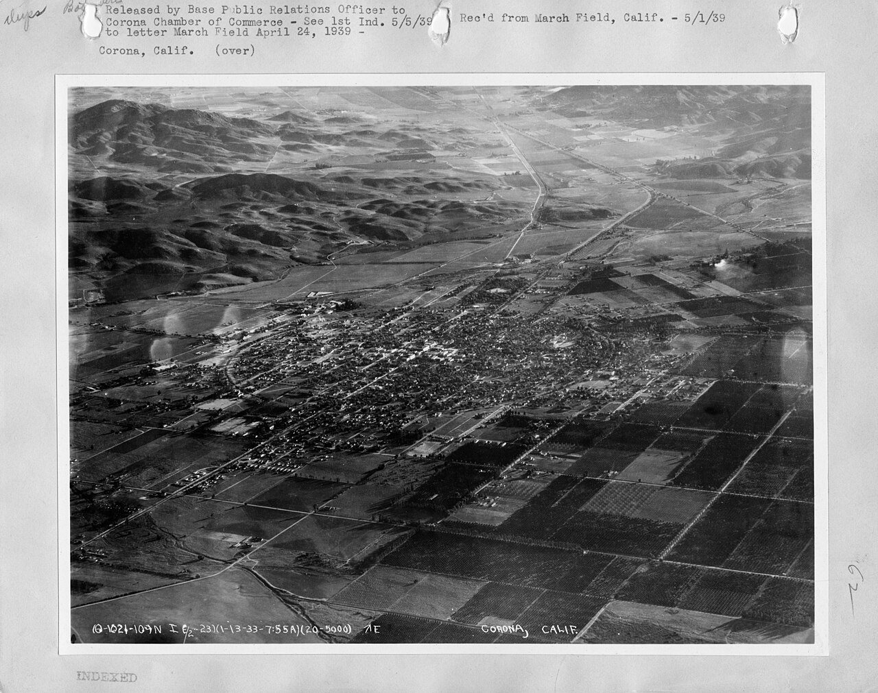
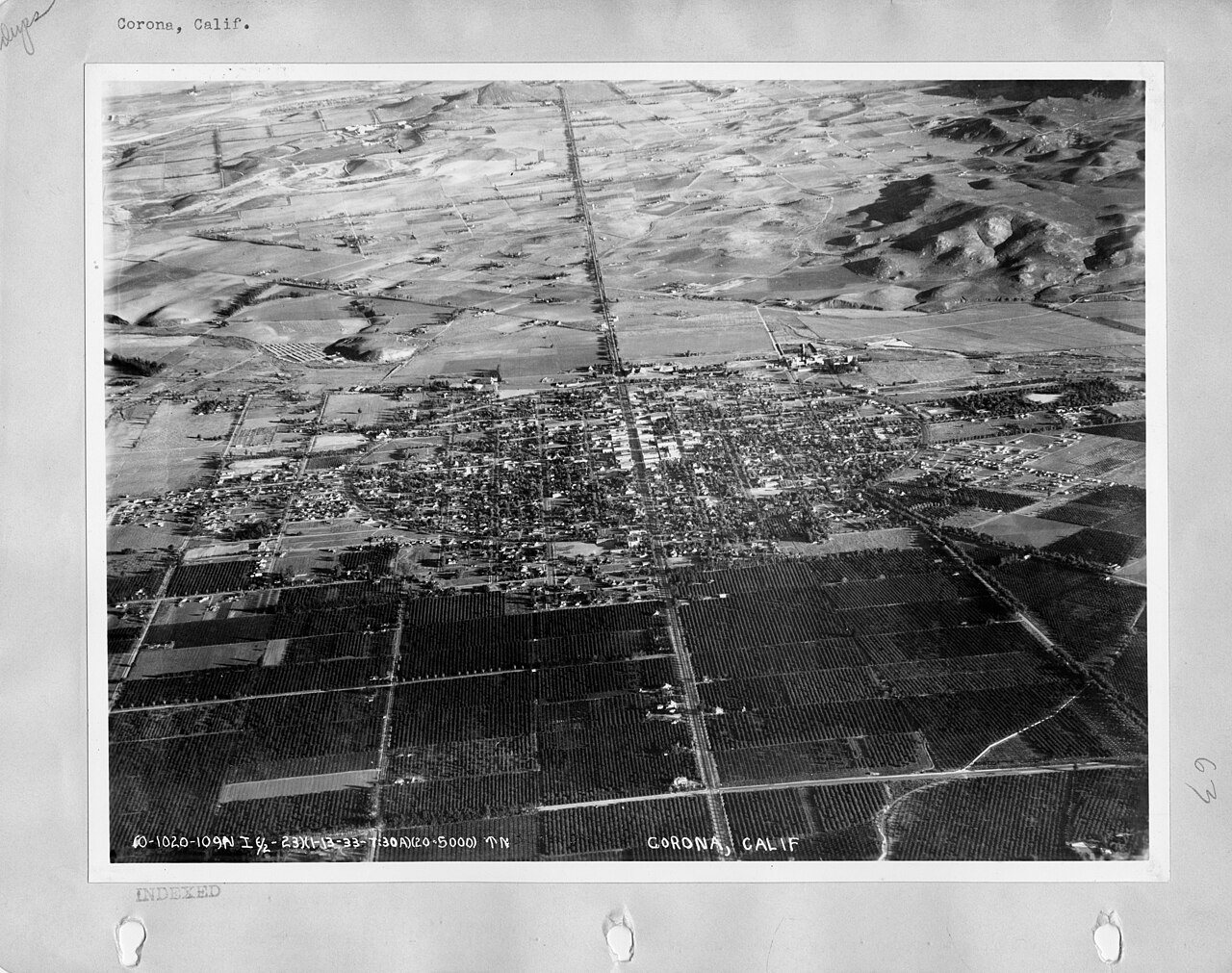
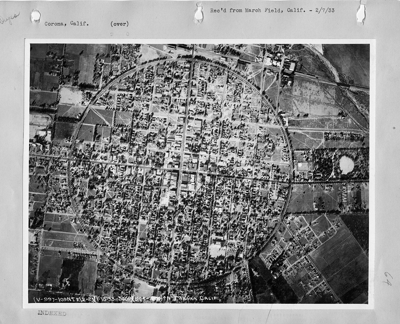
The public archives hold only 4 old photos of Corona. The rest are in attics, shoeboxes and the historical society. Help start the collection.
The story
from WikipediaRead it all ↗Prior to the late eighteenth century, the area was primarily inhabited by the Tongva and Payómkawichum, who lived in a series of villages throughout the area. What is now Corona stood at the southeastern extent of Tovaangar, or the Tongva world, and at the northern edge of Payómkawichum territory.
The primary settlement in the area was the village of Paxauxa, which was established along the banks of the Temescal Creek at about where Corona is situated today. The settlement was shared by both the Tongva and Payómkawichum people. Cooperation and marriage between the two villages was common. High above the city of Corona, the village of Pamajam was also located in a small valley of the Santa Ana Mountains.
Text from Wikipedia, licensed CC BY-SA 4.0.
Timeline
built from the dates on the items belowStart Corona’s collection
The first neighbors to add old photos shape how Corona’s history is told.
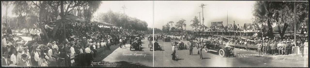
1 of 10 decades since 1900 have photos 🔁Retake an old viewCorona Speedway, start of the med…, 1913: stand where they stood+15 📦Share a family photoSign in to add one+10Famous people from Corona
See all 53 →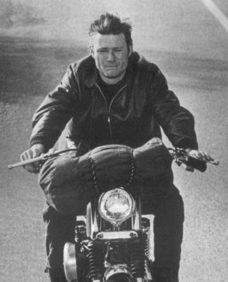
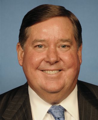
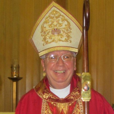

Corona, decade by decade
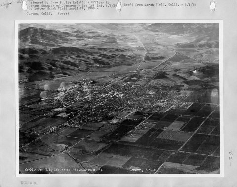
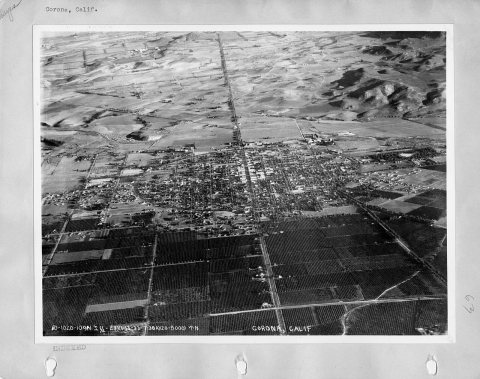
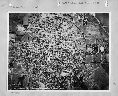
1990s
Then & now
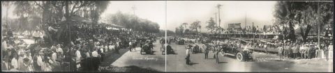
No then-and-now pairs yet. Take a photo from the same spot as Corona Speedway, start of the medium & heavyweight auto race (1913) and it appears here side by side.
🔁 Retake this view · +15Historic places
National Register · via Wikidata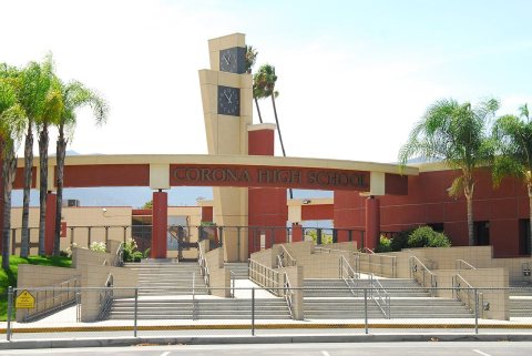
From Wikimedia Commons (3), the Library of Congress (1) and the National Register (2). Images are copied here with their credits and licenses, shown on each photo’s page. Refreshed monthly.