A history of Copperopolis,
then and now
Postcards, papers and photographs of Copperopolis from public archives, woven together by decade. Neighbors fill in the gaps.
The story
from WikipediaRead it all ↗Unlike most of the mining towns in the Calaveras County, Copperopolis' claim to fame is not gold, but copper. It was founded in 1860 by William K. Reed, Dr. Allen Blatchly, and Thomas McCarty, at the site of the second major discovery of copper ore in the region (the first was nearby Telegraph City).
William K. Reed and Thomas McCarty founded the Union Copper Mine (and later the Keystone & Empire mines). In 1862, Reed sold out his interest in the mines and built a toll road from Copperopolis through Telegraph City. It connected with a road running westerly into Stockton. This road was called "Reeds Turnpike" and remained a toll road until 1865. Copperopolis was on the main stage road from Sonora to Sacramento.
Text from Wikipedia, licensed CC BY-SA 4.0.
Timeline
built from the dates on the items belowFinish Copperopolis’s story
Most archives stop around 1920. The photos from after that are in family albums, not libraries.
2 of 10 decades since 1900 have photos 🔁Retake an old viewBIRD'S EYE VIEW - Royal Consolida…, 1968: stand where they stood+15 📦Share a family photoSign in to add one+10Famous people from Copperopolis
See all 2 →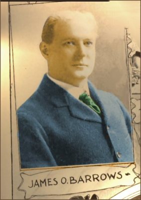
Copperopolis, decade by decade
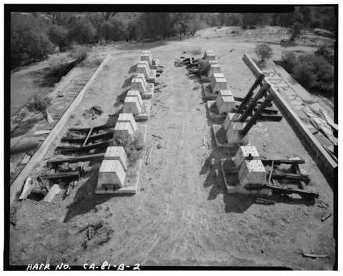
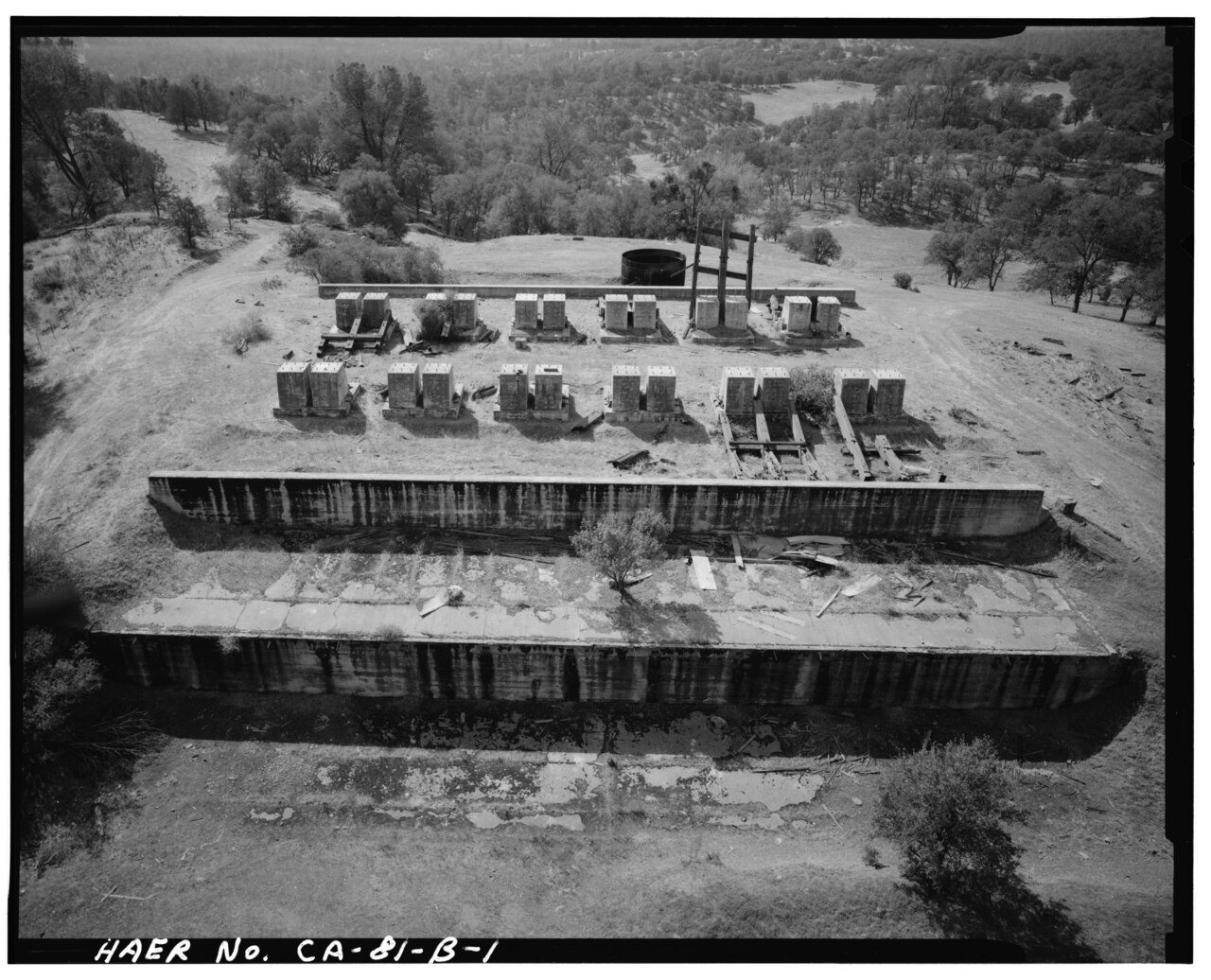
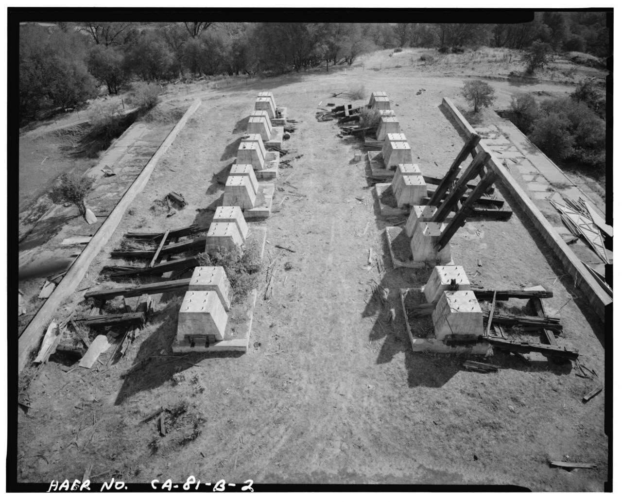
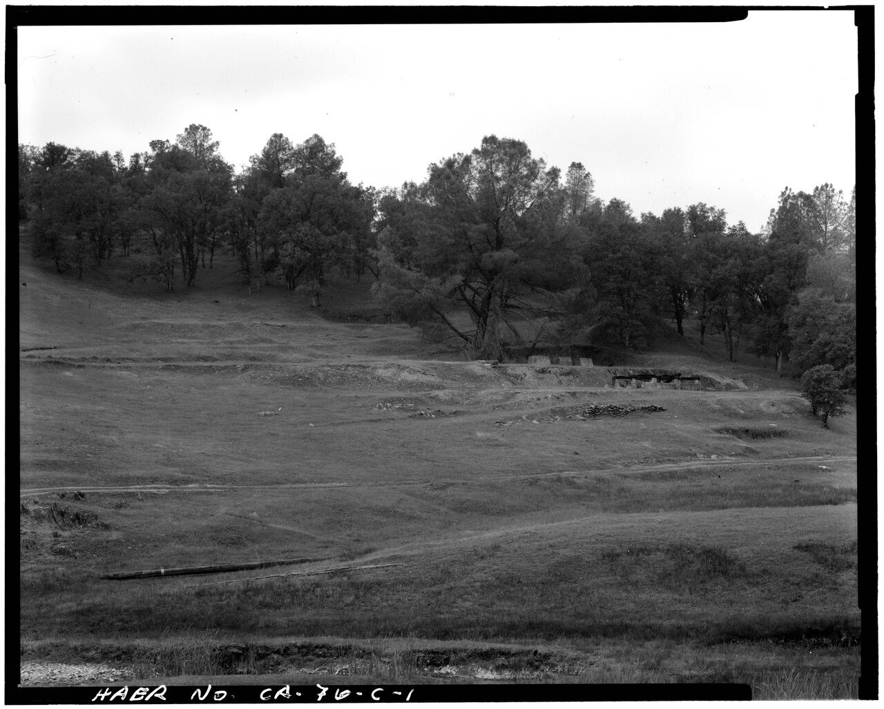
 CommonsVIEW OF LOWER MILL FLOOR FOUNDATION, SHOWING, LEFT TO RIGHT…1988
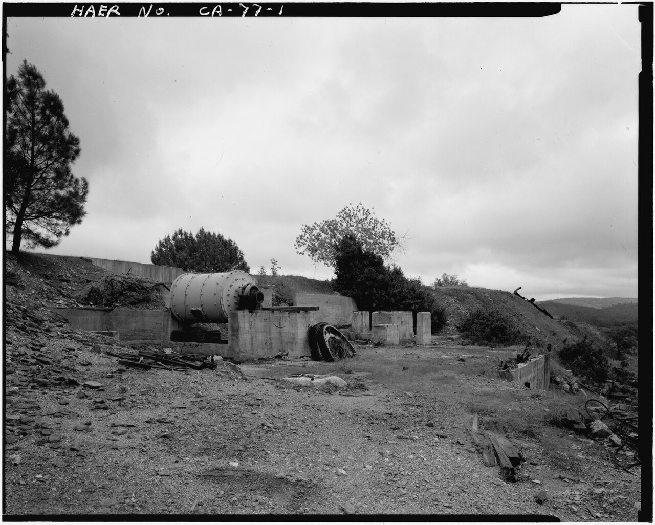
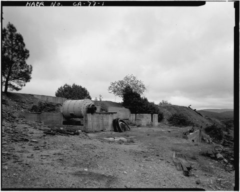 CommonsVIEW OF MILLING FLOOR WITH HENDY BALL KILL IN FOREGROUND, L…1988
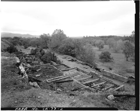
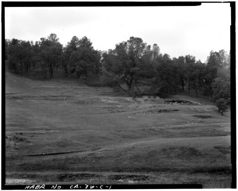 CommonsVIEW OF THE WILBUR-WOMBLE MILL SITE, LOOKING NORTHEAST FROM…1988
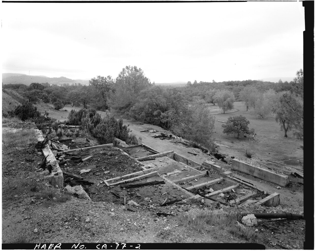
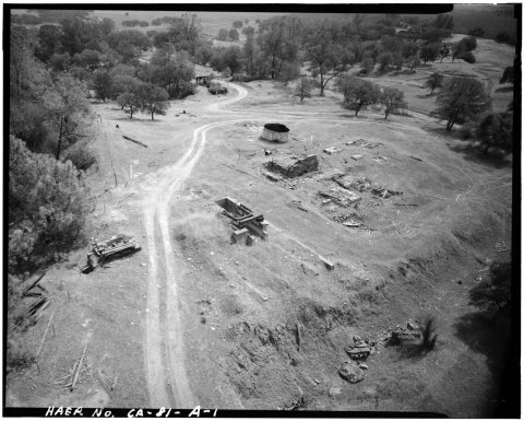 CommonsVIEW SHOWING FOUNDATIONS OF HOISTING WORKS, ROYAL MINE, 198…1988
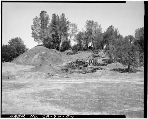 CommonsVIEW, LOOKING FROM THE EAST, OF THE GOLD KNOLL SITE. MILL F…1988
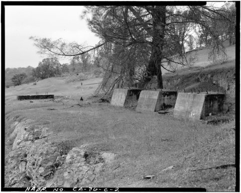 CommonsVIEW, LOOKING FROM THE NORTHEAST. THESE THREE CONCRETE MORT…1988
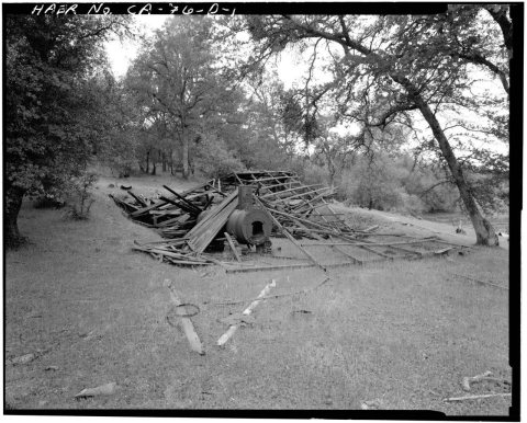 CommonsVIEW, LOOKING FROM THE SOUTHEAST, OF THE DEFIANCE MILL. THE…1988
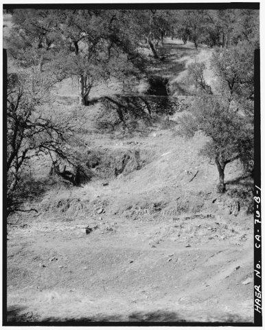 CommonsVIEW, LOOKING NORTHEAST, SHOWING THE SITE OF THE EMPIRE MIL…1988
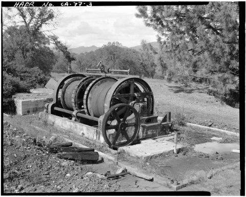 CommonsVIEW, LOOKING SOUTH, SHOWING DOUBLE-DRUM HOIST WORKS JUST E…1988
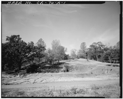 CommonsVIEW, LOOKING WEST, AT THE SITE OF THE PINE LOG MILL. THE S…1988
1990s
Then & now
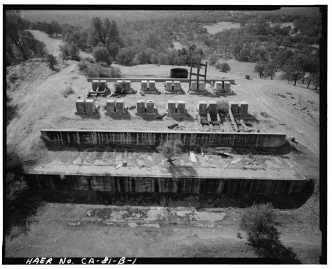
No then-and-now pairs yet. Take a photo from the same spot as BIRD'S EYE VIEW - Royal Consolidated Gold Mine and Mills, Royal Mill, 4.0 Air Miles Northwest of Copperopolis, Copperop… (1968) and it appears here side by side.
🔁 Retake this view · +15Stories next door
nearby towns’ historyFrom Wikimedia Commons (12). Images are copied here with their credits and licenses, shown on each photo’s page. Refreshed monthly.